Getting Above Woodland Waterfall Safely
(1 September 2015)
Here is a safe way to get up above the Woodland waterfall which is otherwise dangerous to try and climb. The idea is to walk up the ridge to the west (right) of the canyon that contains the waterfall. Mounting that ridge is a steep climb for about 200 feet or so, but it is not so bad if you take your time. This route is much safer compared to the alternative of trying to climb up the waterfall or climb out of the valley anywhere near the waterfall. The key is to the find the easiest way to mount that ridge. As is usually the case with ridges, it is easiest to mount the ridge as low down as possible (while avoiding crossing private property). Here's how:
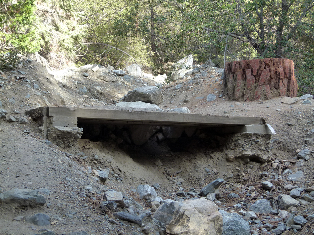
^ ^ ^ From the cul-de-sac at the top of Woodland Drive, hike up the nature trail towards the Woodland waterfall for about 200 paces until you cross this foot bridge (as seen above).
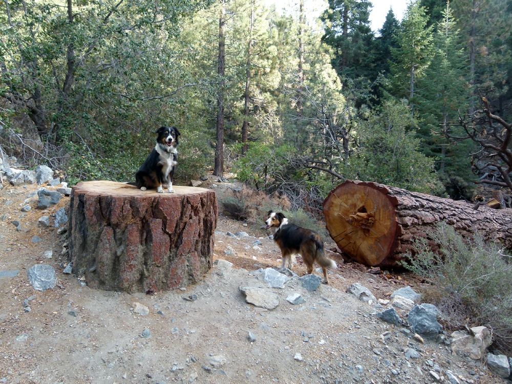
^ ^ ^ Just on the other side of the foot bridge you will see this felled tree. Start counting your footsteps from this point onwards. Take note of the creek which runs parallel to the main trail on your right. You are looking for the first opportunity to cross over this creek without difficulty.
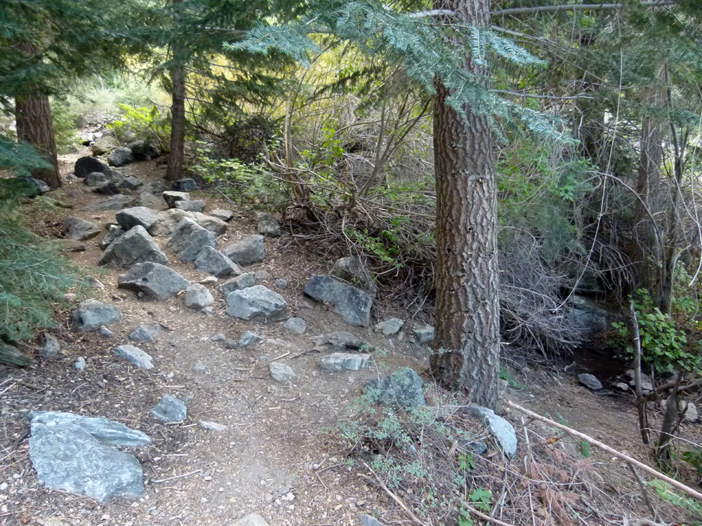
^ ^ ^ After approximately 160 normal walking paces, look out for a rough side trail on your right-hand side that crosses the creek. This spot is distinguished by numerous rocks jutting up right in the middle of the main hiking trail that continues on towards the waterfall. Turn right behind the tree you see here in the foreground. The turn off is easy to spot if you pay attention.
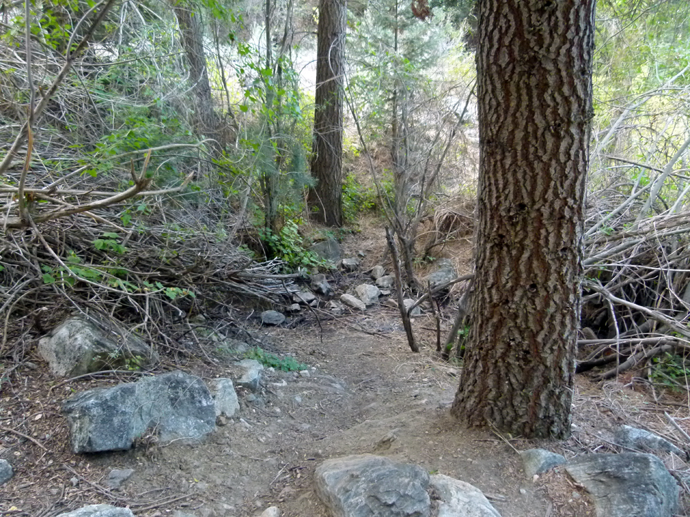
^ ^ ^ Go down the slope for about ten paces and hop over the creek. You can usually cross this creek easily since the volume of water flowing is typically low.
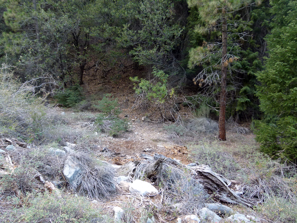
^ ^ ^ Then continue on the other side veering to your right a little......there is easy access to the ridge just ahead of you where you can scramble up to the top of the ridge relatively easily.
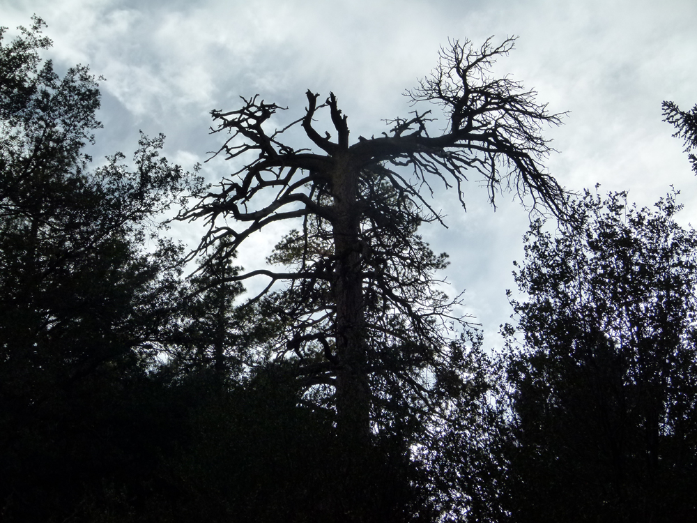
^ ^ ^ You can confirm you are in the right spot if you look up and see this distinctive dead tree on the ridge in front of you. Although, it doesn't matter where your mount this ridge precisely.....just anywhere that looks good to you.

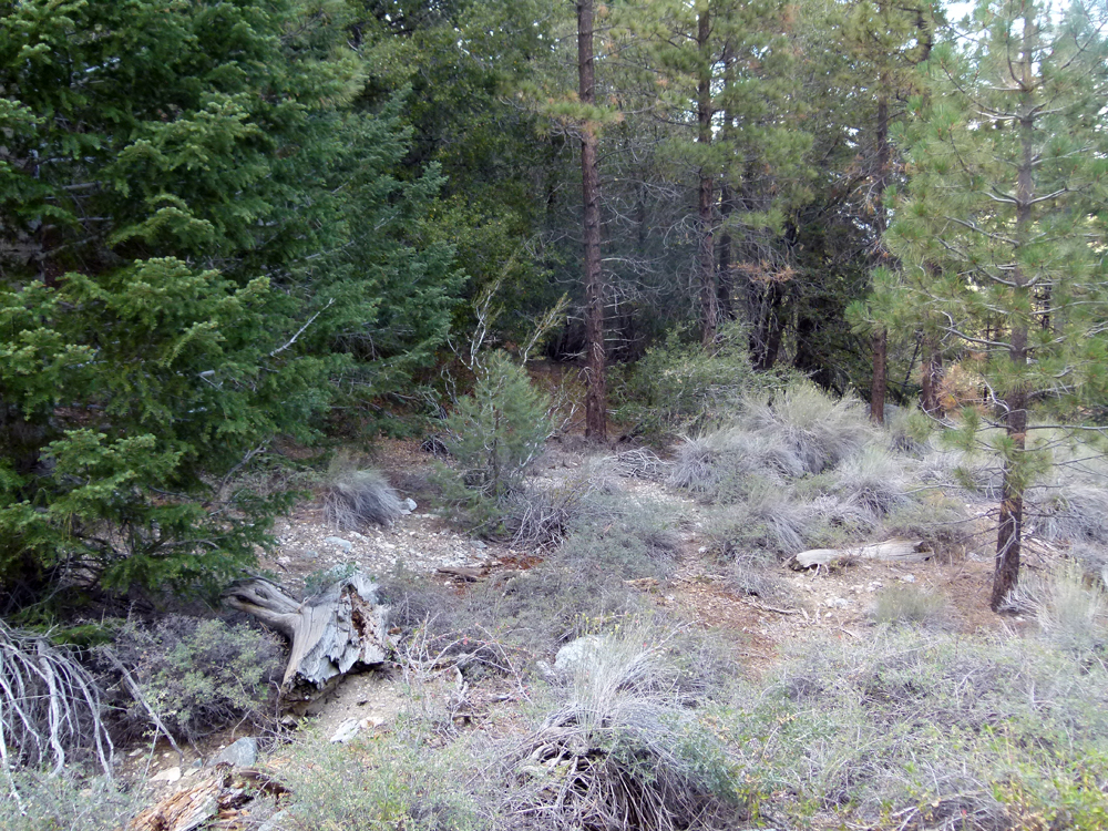
^ ^ ^ Pick a spot to climb up. The slope is relatively clear of undergrowth. Take your time, there is no rush. It is a steep slope for about 200 feet or so to reach the crest of the ridge. Once you get to the top of the ridge, turn left and make your way slowly uphill. The key is to take it easy and go at whatever pace suits you. No need to make it a marathon.
^ ^ ^ Tip: If you turn right after crossing the creek and follow the foot of the slope around for about 50 paces, you will find a small spur coming down which may provide a slightly gentler (but longer) assent. You can decide which route best suits you. You can also traverse the slope if you like which is easier (but further) than climbing directly uphill.
You can keeping going for an hour or two exploring. Lots to see. You can look down on the waterfall as you pass by but remember to return to the crest of the ridge before continuing uphill. That is the golden rule. If you always stick to the highest part of the ridge, the going is easier and you are less likely to get into any difficulty such as getting drawn into a "blind alley", or forced to climb rocky scree, or to climb overly steep and unstable slopes.
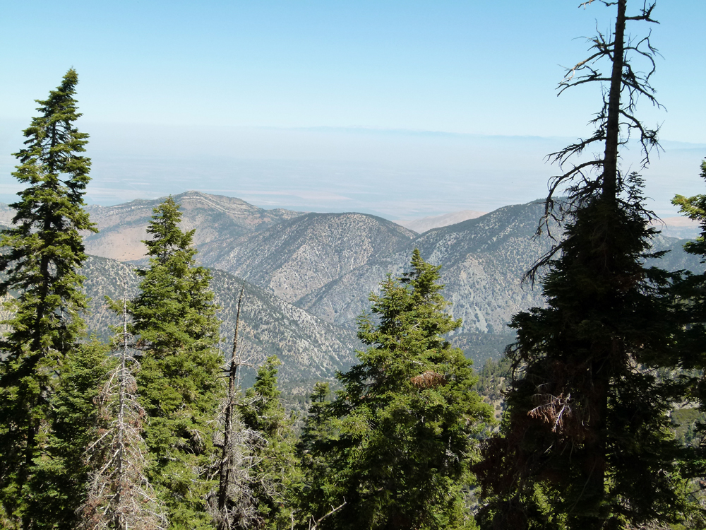
You can get up high enough to see clean over the top of Antimony Peak and Eagle's Rest into the San Joaquin Valley with about an hour's steady climbing. But it is continuous climbing so you'll have to rest a lot, probably little rests every minute or two. In fact, you can continue all the way to the summit of Mount Pinos if you feel so inclined. But this route is without hiking trails so you have to go the "right way" to get there. It is the red route described here.
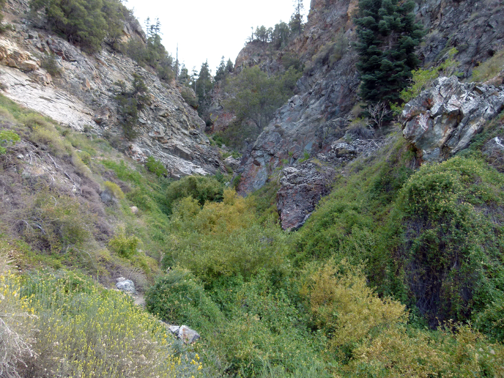
^ ^ ^ Here is an overview of the canyon that has the waterfall. You can see that it is not only difficult but also potentially dangerous to try and climb out of this canyon. The route I'm describing is much easier and also much safer.
You return home the same way you went up i.e. simply retrace your footsteps. Enjoy the outing.......
![]()
Peter Gray
telephone: +1 (661) 242-1234