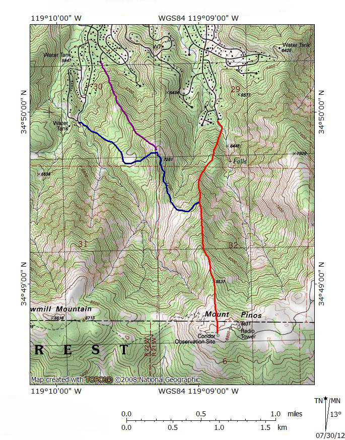
Direct Ascent to Mount Pinos from PMC
(29th July 2012)

^ ^ ^ There are at least two viable routes to hike from the edge of the PMC township to the summit of Mount Pinos. One leaving from the top of Woodland Drive (red route) and the other from the top of Bernina Drive (blue route). These are "wild" hikes meaning you are not following established trails. There is a theoretical route (purple) climbing up from Freeman Court but it is impractical as you need to cross private property in order to mount the ridge.
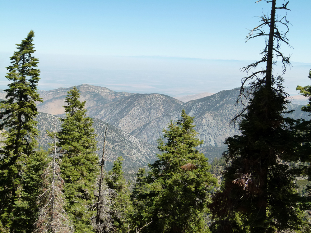
^ ^ ^ As you climb higher you are rewarded with spectacular views. Looking across to San Emigdio Canyon.
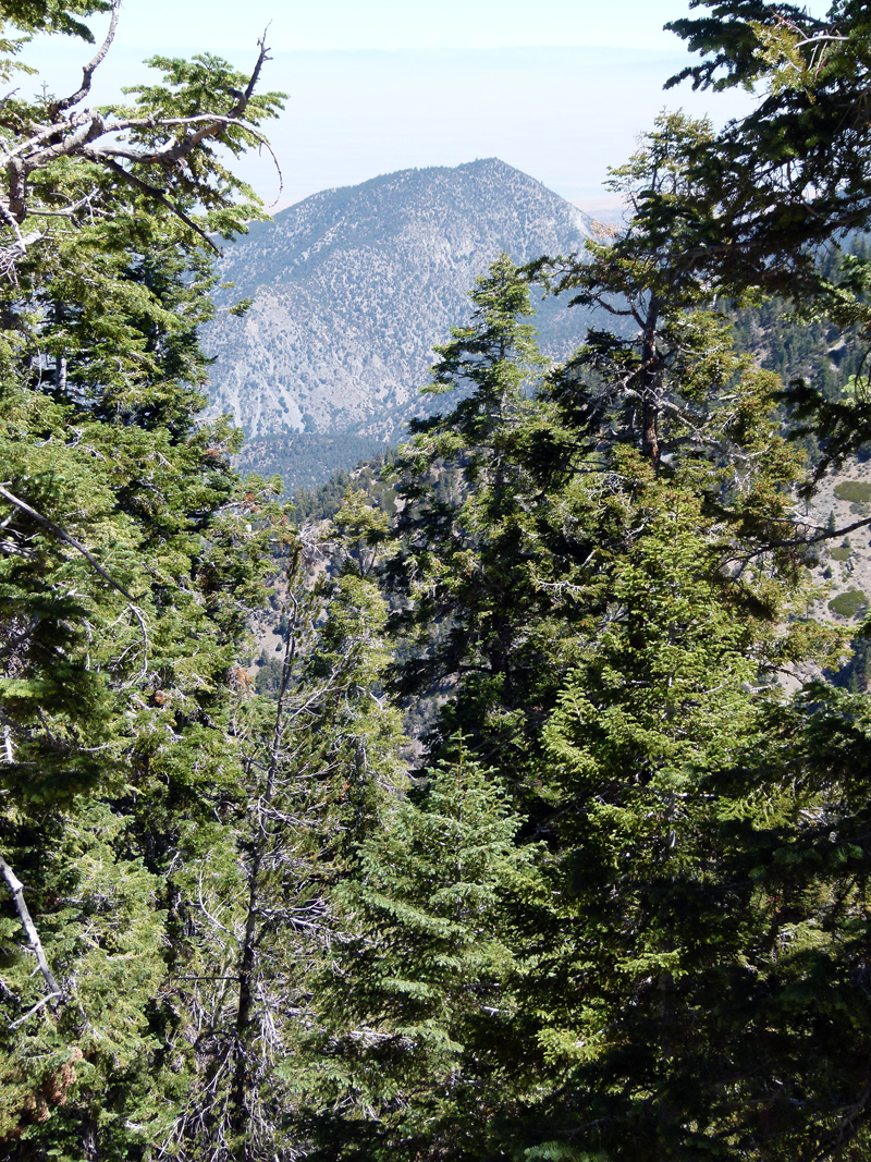
^ ^ ^ Antimony Peak
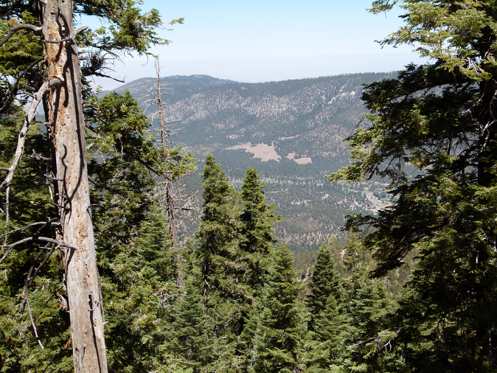
^ ^ ^ The Meadows area next to PMC.
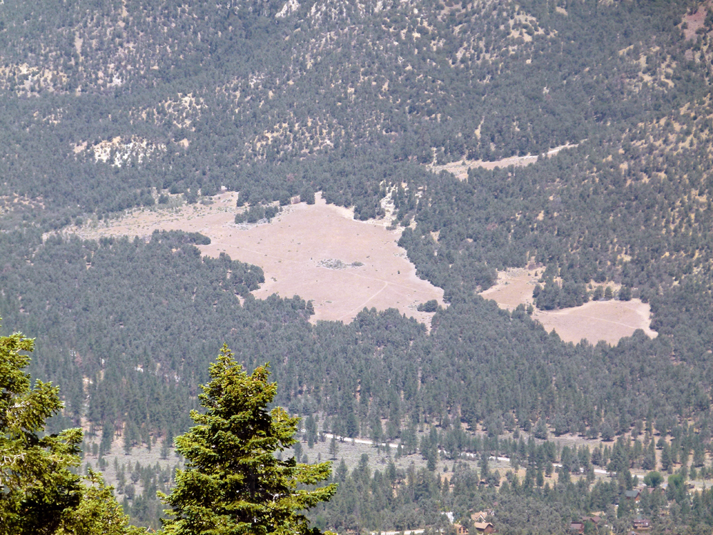
^ ^ ^ Closer view of The Meadows with Mil Potrero Highway visible below and houses on the western edge of town.
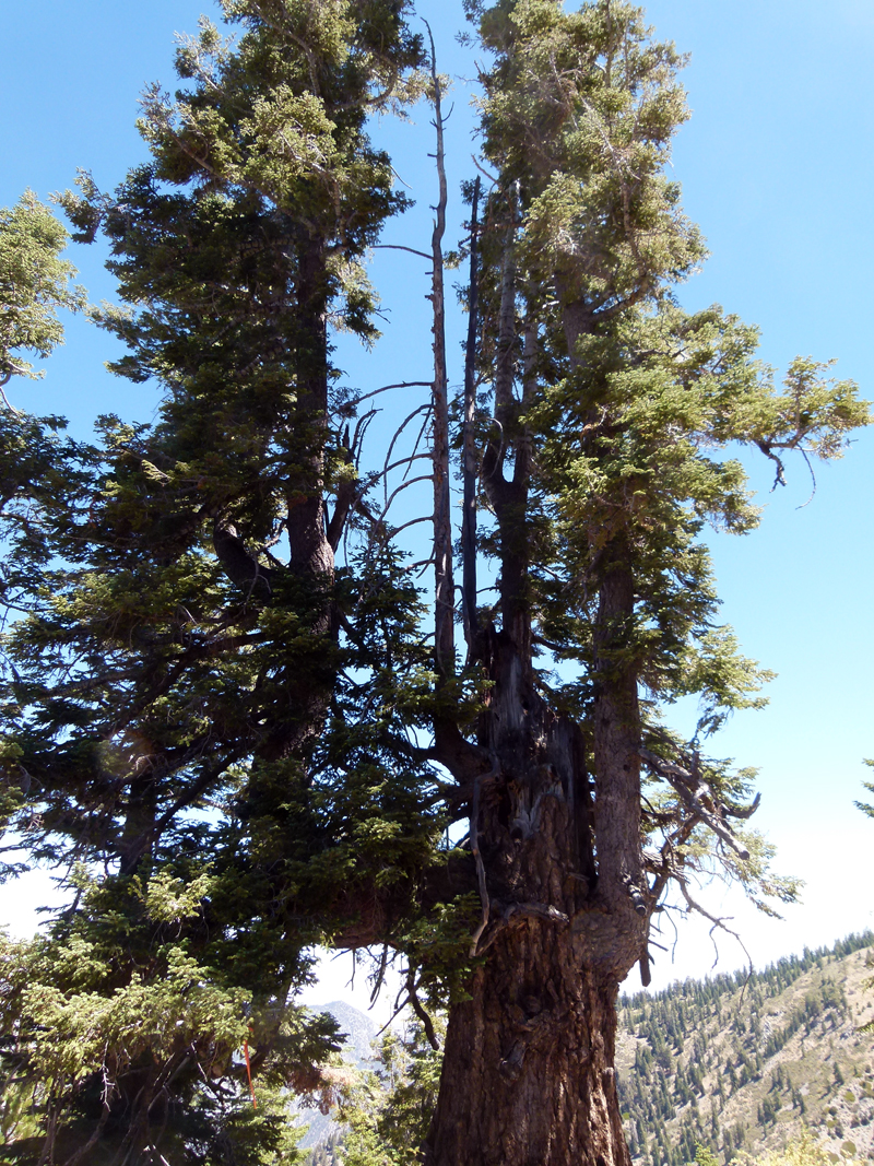
^ ^ ^ This tree survived despite massive damage.
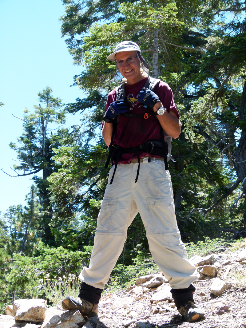
^ ^ ^ Our guide "Hiker Kim" who established the easiest route to the summit by studying topo maps combined with a series of exploratory hikes.
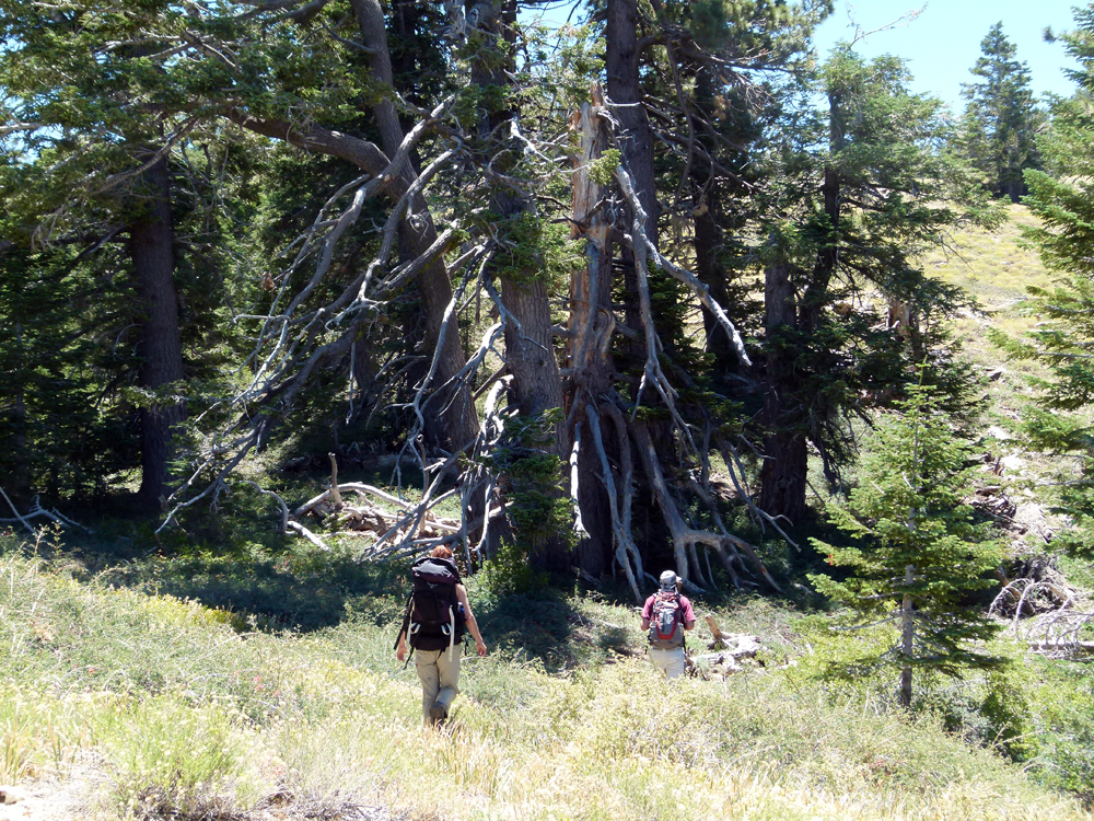
^ ^ ^ There is no trail but there is a definite route you need to follow for a relatively easy and efficient ascent.
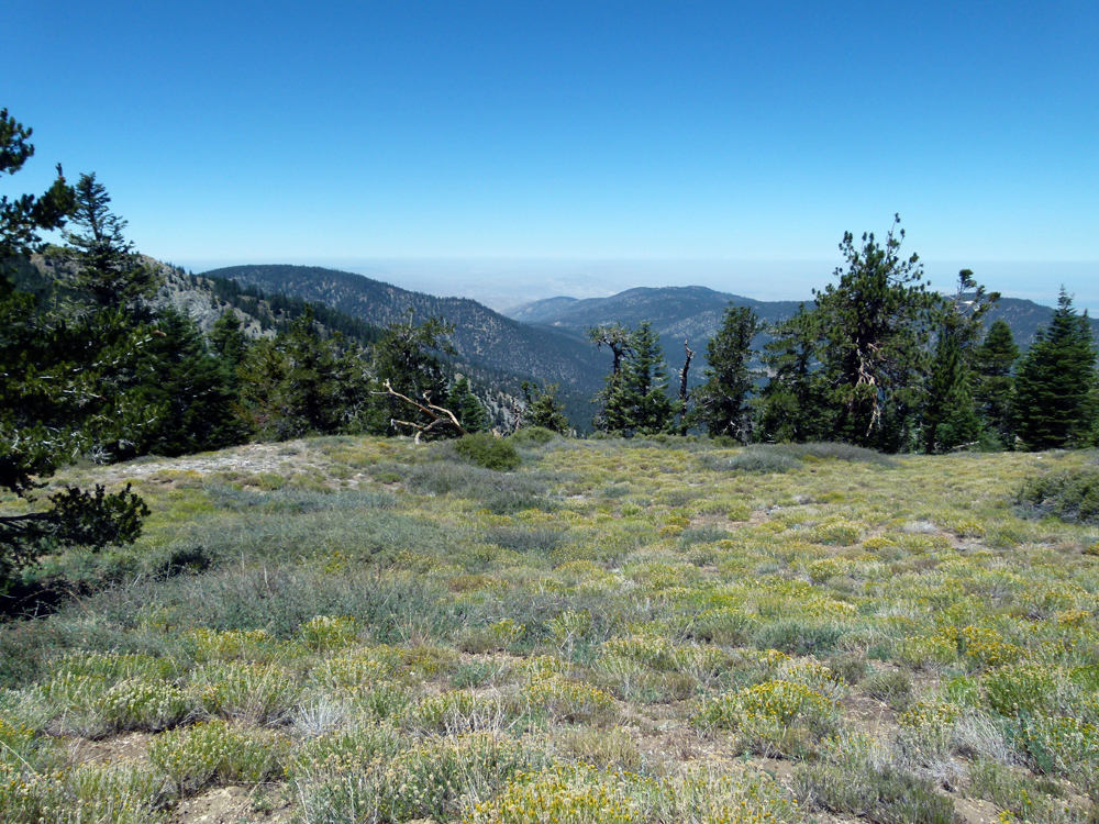
^ ^ ^ As you near the top, the route levels out crossing a series of meadows.
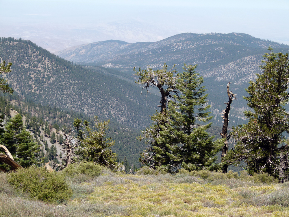
^ ^ ^ A view towards Apache Saddle.
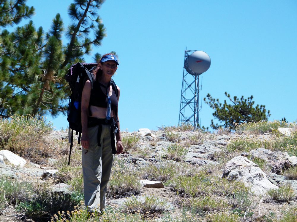
^ ^ ^ A helpful landmark - you head to the right of these communication relay towers near the top of Pinos.
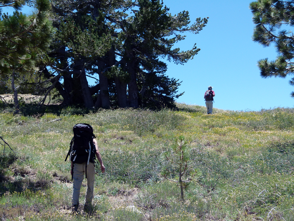
^ ^ ^ Crossing the last meadow before meeting the road on top.
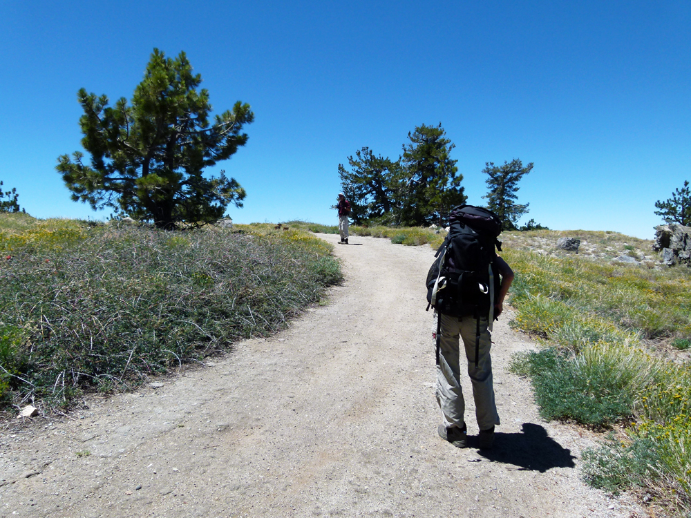
^ ^ ^ Following the road to the final summit.
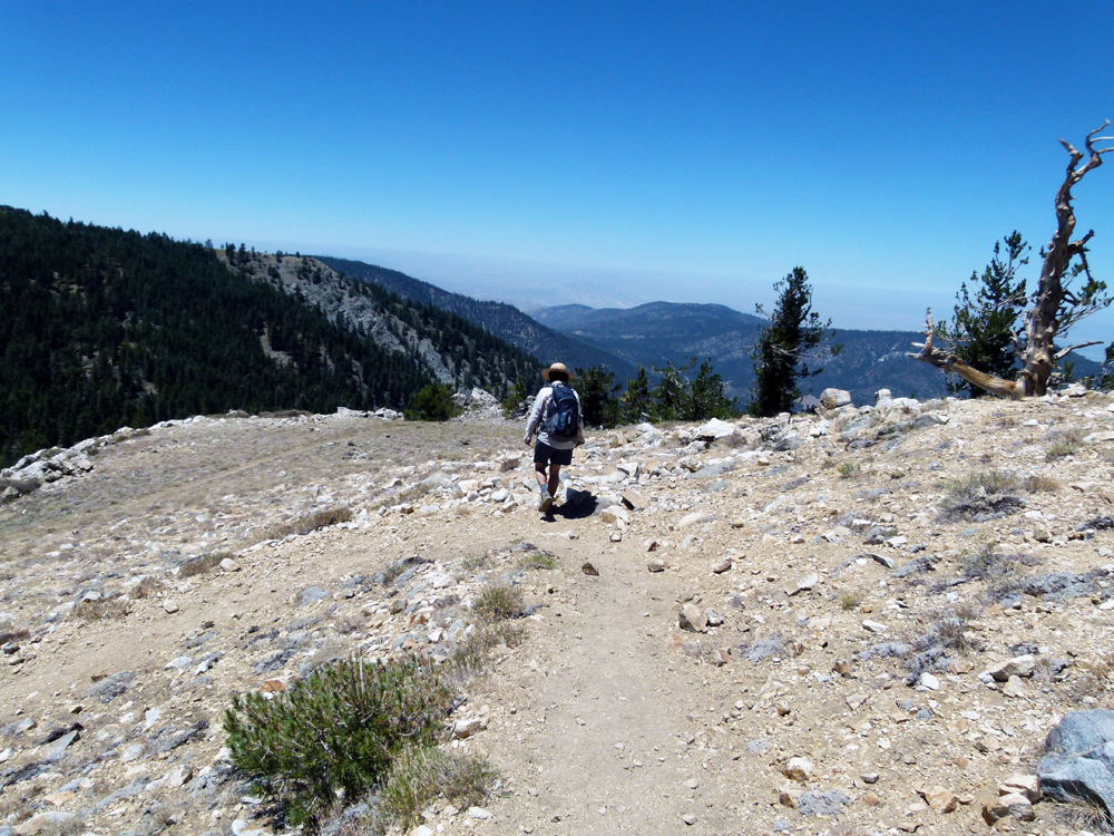
^ ^ ^ Descending towards Sawmill Mountain (8,818 feet or 2,688 meters).
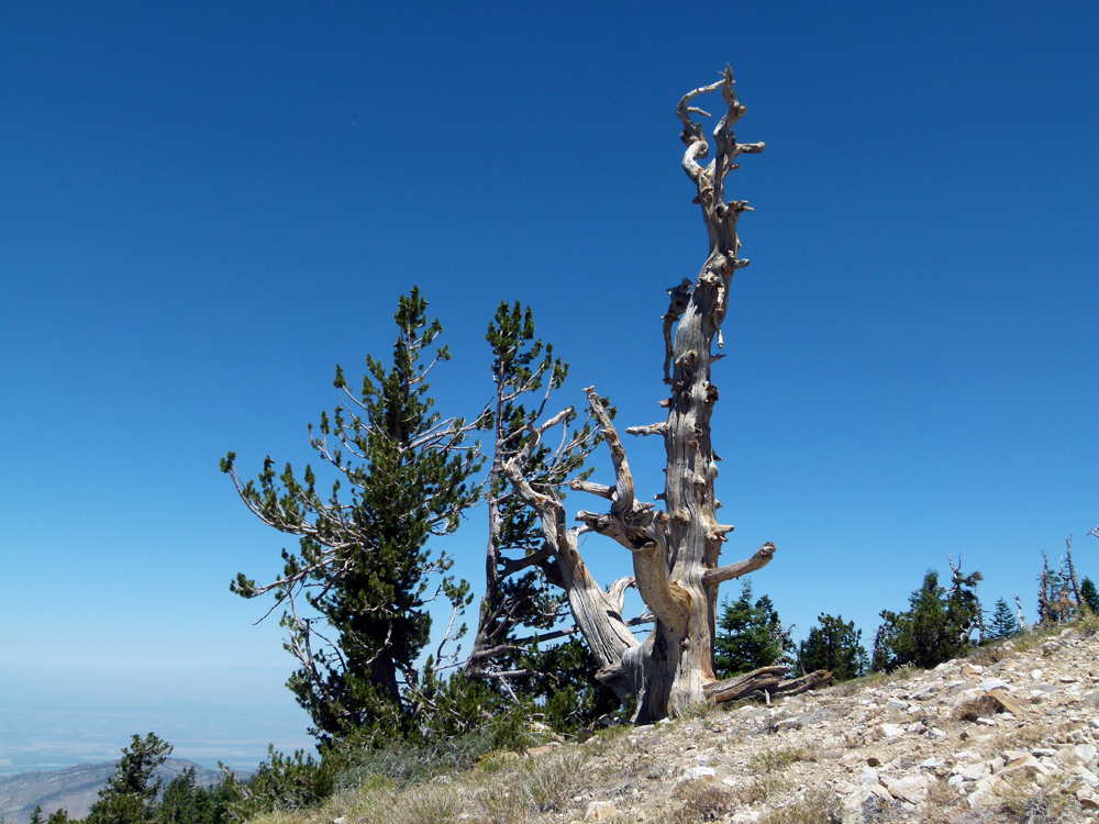
^ ^ ^ Wind swept trees.
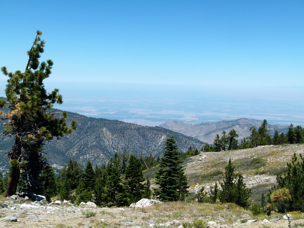
^ ^ ^ The San Joaquin Valley visible in the distance beyond San Emigdio Canyon.
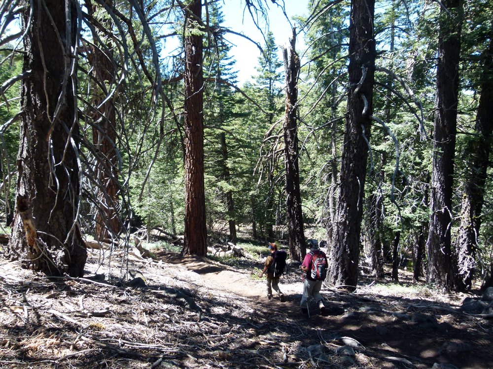
^ ^ ^ Heading across to Sawmill Mountain where we descended directly to our starting point in Bernina Drive.
^ ^ ^ Deanna
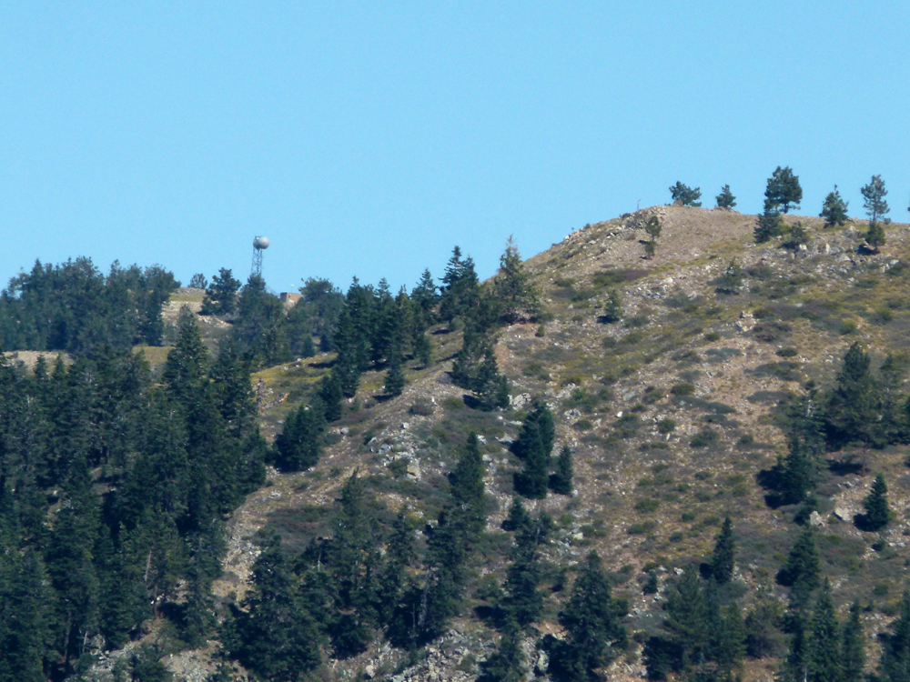
^ ^ ^ Looking back to the communication towers where we came up.
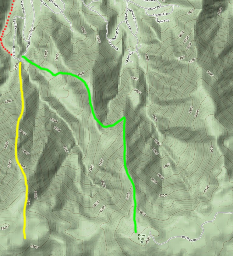
^ ^ ^ This was a loop hike, green up and yellow back down to the starting point.
![]()
Peter Gray
telephone: +1 (661) 242-1234