Toad Springs Hike
(18th June 2005)
For Pine Mountain Club residents, this hike is not very far from home. The trail head is a few miles to the west of PMC. The Toad Springs Trail runs along the western slopes of Cerro Noroeste (a.k.a. Mount Abel). The further you progress along this trail, the nicer, and more interesting, it becomes. Officially, it is designated an OHV trail, and runs within a corridor across the Chumash Wilderness. However, the trail has been closed to vehicles for some time due to landslides.
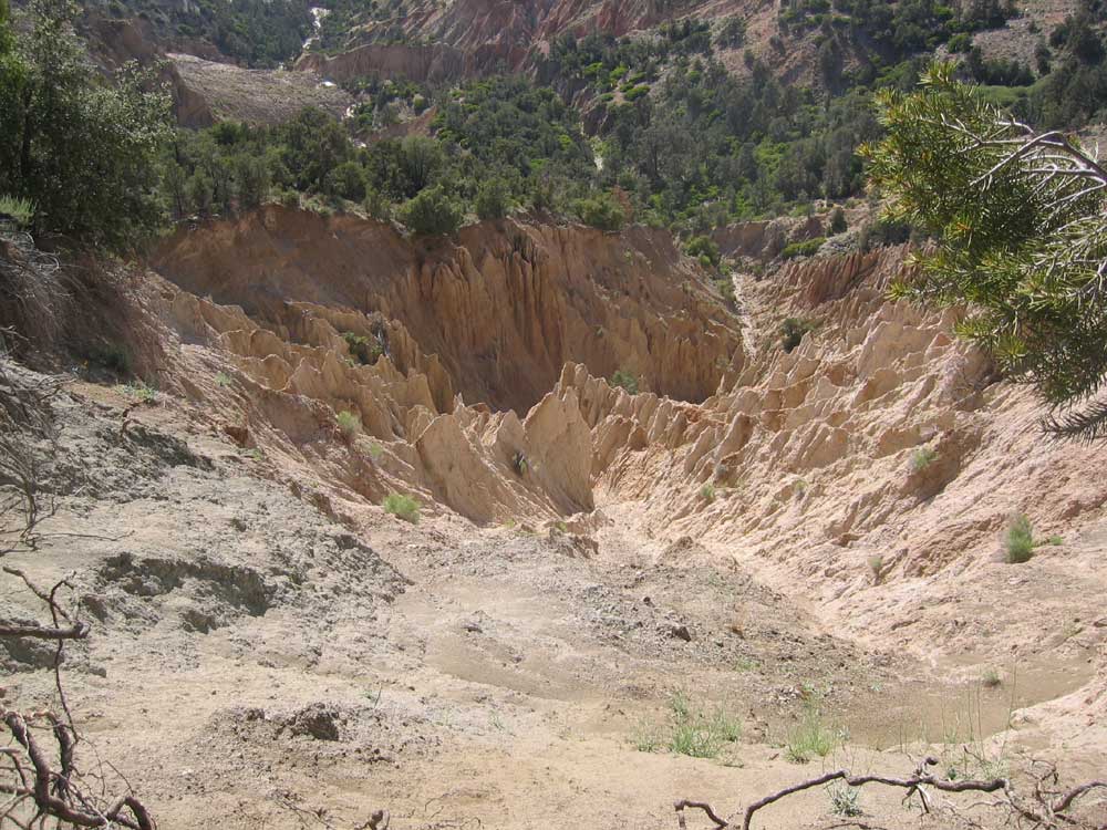
^ ^ ^ After about 75 minutes hiking, the trail is abruptly cut off by a landslide. The ledge it was originally running along has slid down into the canyon below.
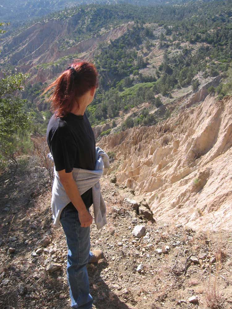
^ ^ ^ My gosh, where did the trail go? But hey, what a great view.....
^ ^ ^ Apache Canyon goes off to the left (east) in the distant background (and also a trail to Mesa Springs, which parallels Apache Canyon).
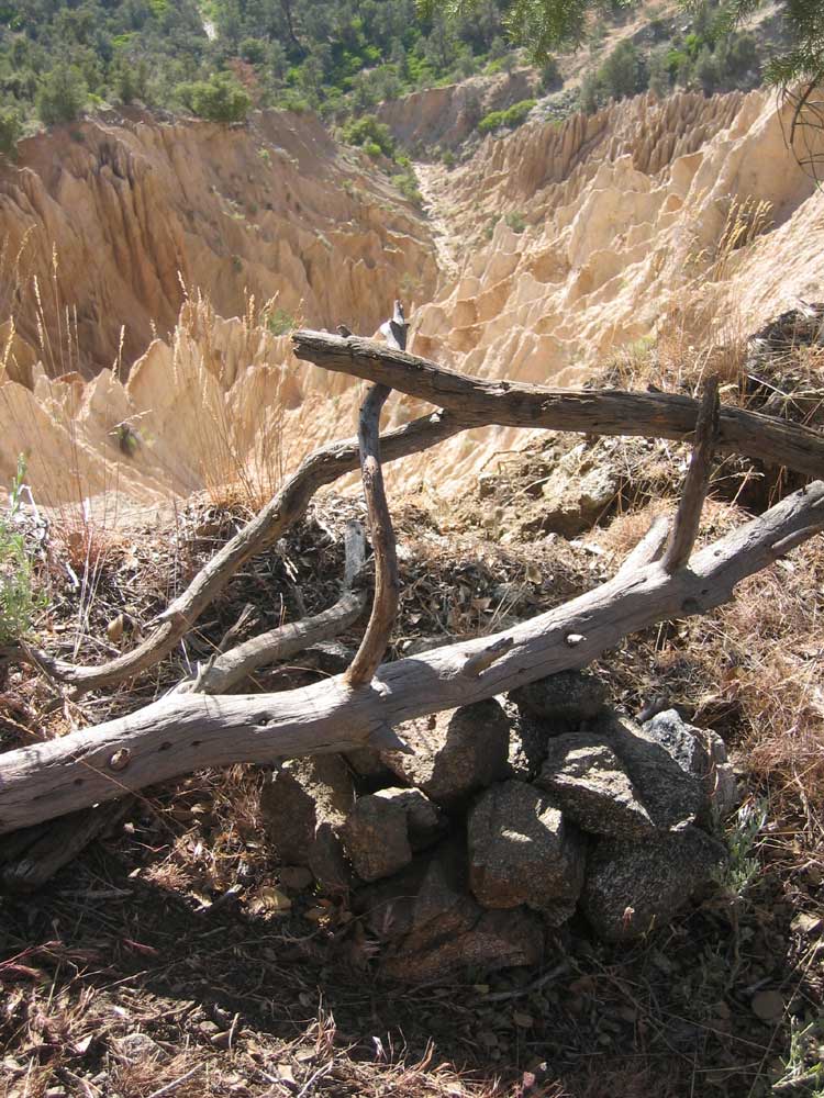
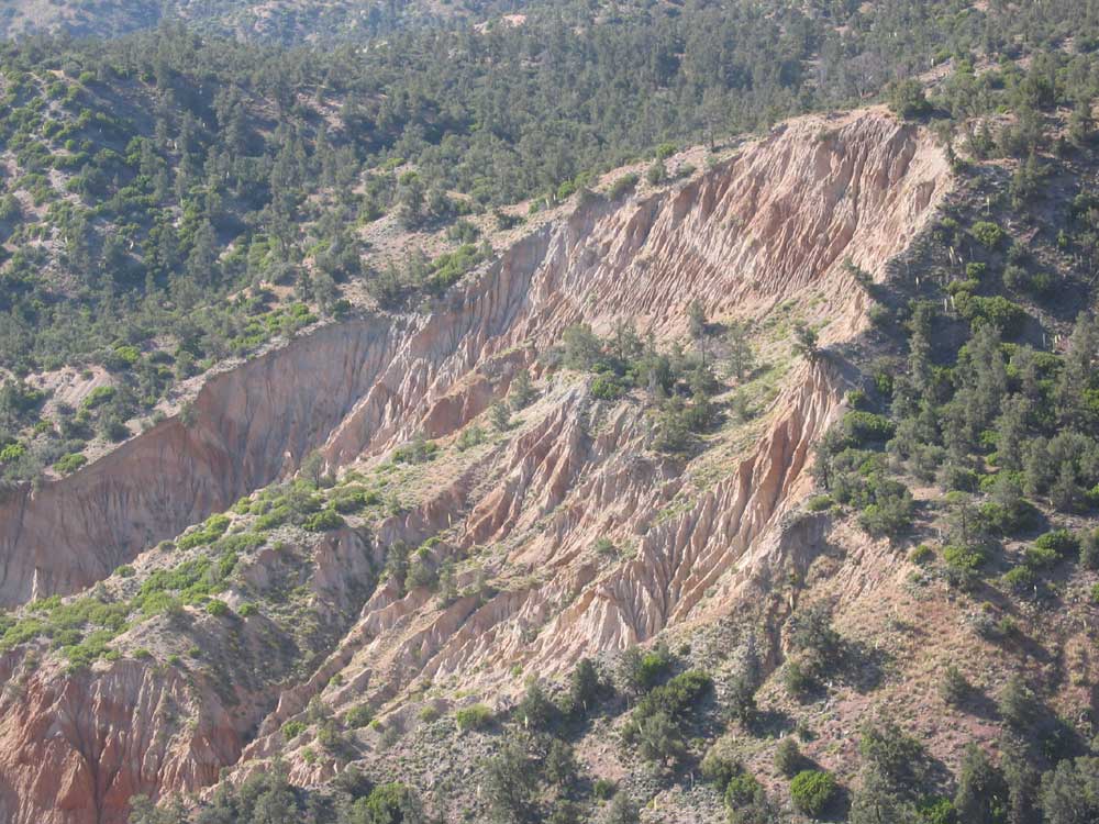
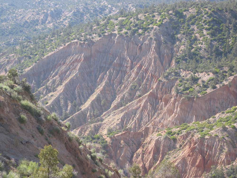
^ ^ ^ Here you can see evidence of the slide activity. Everything in the foreground has moved....
^ ^ ^ A closer view.....
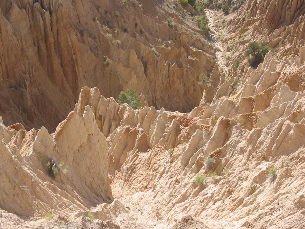
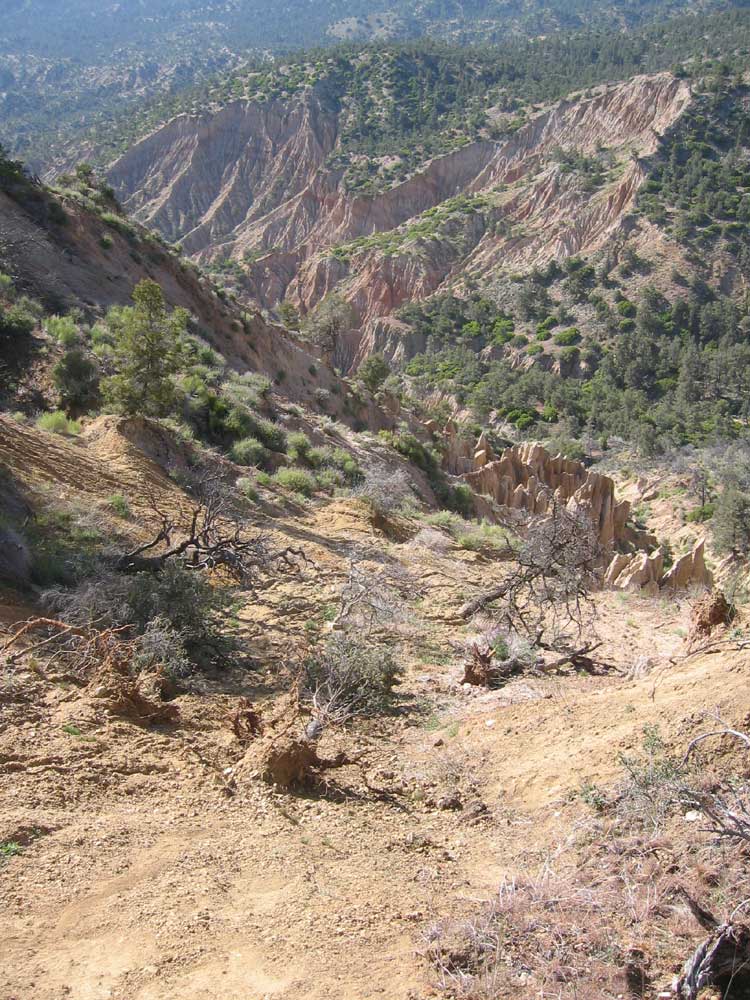
^ ^ ^ An unusual and quite stunning landscape.
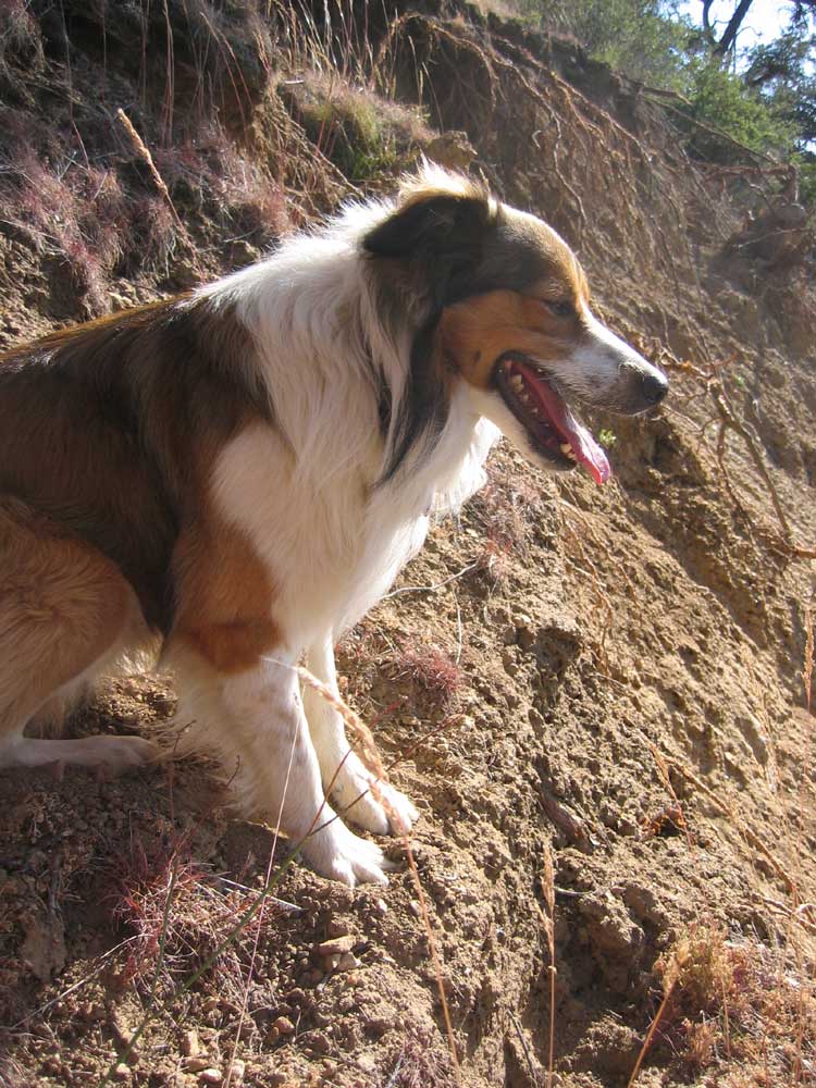
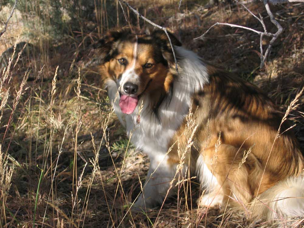
^ ^ ^ Our English Shepherd, Max, looks over the edge into the canyon below.....
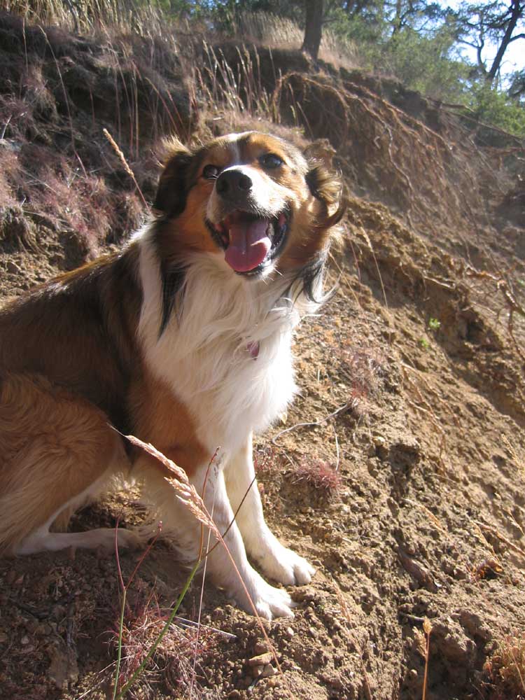
^ ^ ^ Max agrees, "Wow, what a great view....."
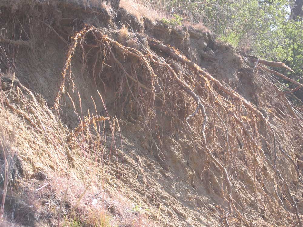
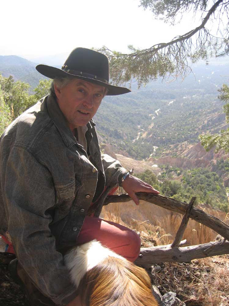
^ ^ ^ We continued around the landslide, and picked up the trail again. After about 10 more minutes we came to a second slide that cut the trail again which left the roots of this tree exposed.
It is possible to get around the landslide area by following rough trails climbing up to the left (east). The detour eventually rejoins the original trail taking you across the San Emigdio Mesa and on to Mesa Spring and beyond.
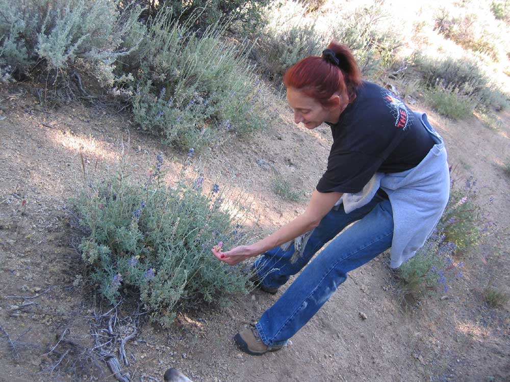
^ ^ ^ Homeward bound again.....and taking a moment to have a closer look at wildflowers.
^ ^ ^ Max always finds the nearest shady place to take a rest.
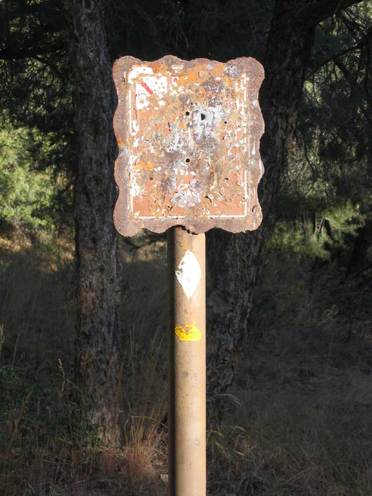
^ ^ ^ The trail head is marked by this rusty metal sign standing in a clearing. As you can see, the information on the sign is obliterated with age.
The Toad Springs trail head can be found to the left of the road (south side) about a third of a mile (0.3) past the Toad Springs Campground going down Quatal Canyon Road. It is approximately two-thirds of a mile (0.6) from where Quatal Canyon Road turns off from Mil Potrero Highway. And it is about 1.7 miles from the turn off to Cerro Noroeste (a.k.a. Mount Abel) at Apache Saddle. By checking your odometer and keeping an eye out for this old sign, you should have no trouble in locating the trail head.
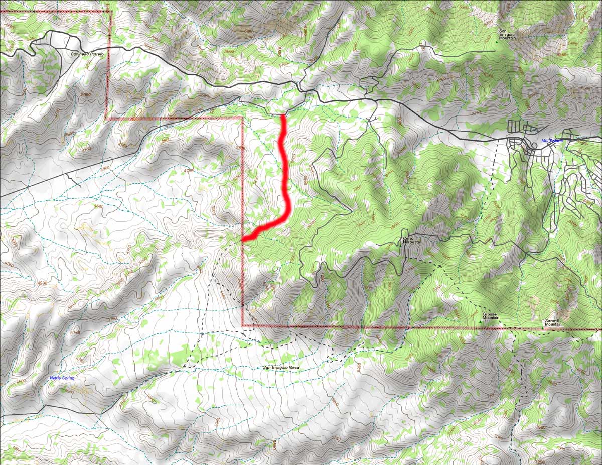
^ ^ ^ The Toad Springs Trail roughly parallels the first part of the road going up to the summit of Cerro Noroeste. The trail follows the contours transversing the western slopes of the mountain.
Be prepared for a steady climb for the first 20 minutes or so of this hike, but it then levels out for relatively easy hiking after that.
Allow about 3 hours for this hike from Toad Springs to the landslides area and back again (or longer if you like to take your time).
I would estimate a return hike to Mesa Spring would require at least six hours.
![]()
Peter Gray
telephone: +1 (661) 242-1234