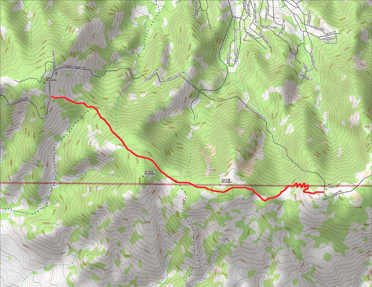
PEAK TO PEAK HIKE
NOTE: On this map, ignore the parallel route erroneously named Cuddy Valley Road, as this road does not exist.
This hike follows a trail running along a mountain ridge connecting two high mountain peaks above PMC, Cerro Noroeste (7708 feet) and Mount Pinos (8831 feet).
The hike is about 5.5 miles in length, and can be done in either direction. The total loss or gain in elevation from start to finish is approximately 700 feet.
If starting from Cerro Noroeste, the trail is on the right (marked) about a mile before the summit. The GPS coordinates for the trail head are N34 degrees 49.71 minutes -
W119 degrees 12.13 minutes. The trail descends steeply, and after hiking for about a half mile you reach the bottom of a saddle called Puerto del Suelo (7600 feet). Here you will notice a
a turn off to Mesa Springs (sign posted). This is a branch trail that descends down to the San Emigdio Mesa. Don't turn off but continue straight ahead towards the north side of Grouse Mountain
(8582 feet) and onto the south side of Sawmill Mountain (8818 feet) further on. About half way between Grouse and Sawmill Mountains, you come to another trail heading south to Sheep Camp which
eventually connects to Boy Scout Camp Road in Lockwood Valley. This turn off is at about the 2.5 mile mark, and is therefore about half way to your final destination. The last section of the trail
incorporates easy-to-hike switchbacks making a final ascent up the side of Mount Pinos, followed by a long descent to a large car park called the Mount Pinos Nordic Base.
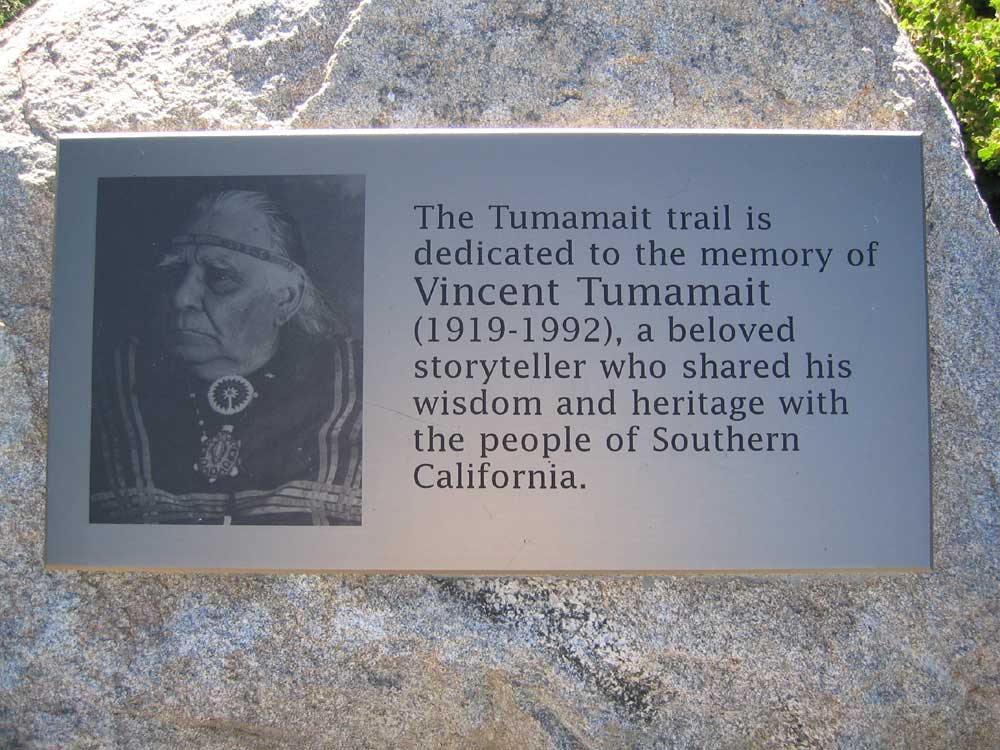
This trail is called the Tumamait Trail. It is is "dedicated to the memory of Vincent Tumamait (1919 - 1992), a beloved storyteller who shared his wisdom and heritage with the people of Southern California." This plaque honoring his memory is located on the summit of Mount Pinos.
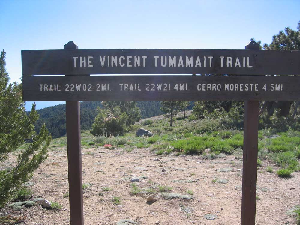
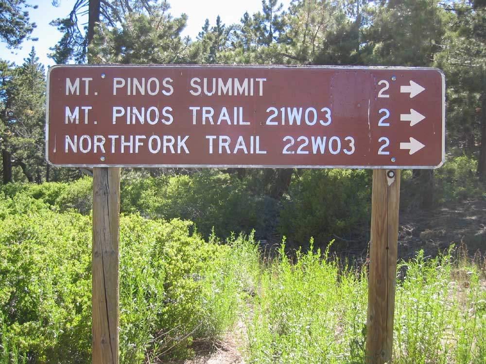
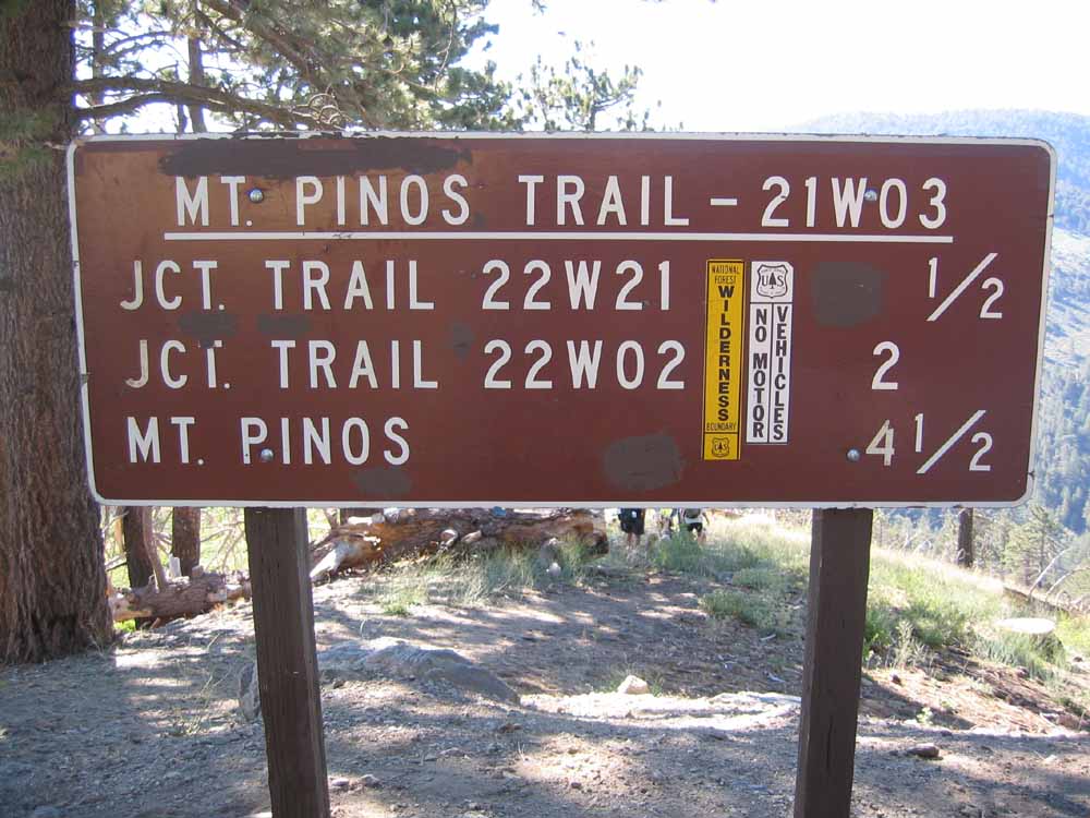
^ ^ ^ This sign marks the Tumamait trail head on the summit of Mount Pinos (or your destination, depending on your direction of travel). Trail 22W02 descends to Boy Scout Camp Road in Lockwood Valley via Sheep Camp. It turns off the Tumamait trail in a gentle saddle between Sawmill and Grouse Mountains. Trail 22W21 descends down to the San Emigdio Mesa on the south-western slopes of Cerro Noroeste. It is one of several ways to reach Mesa Spring.
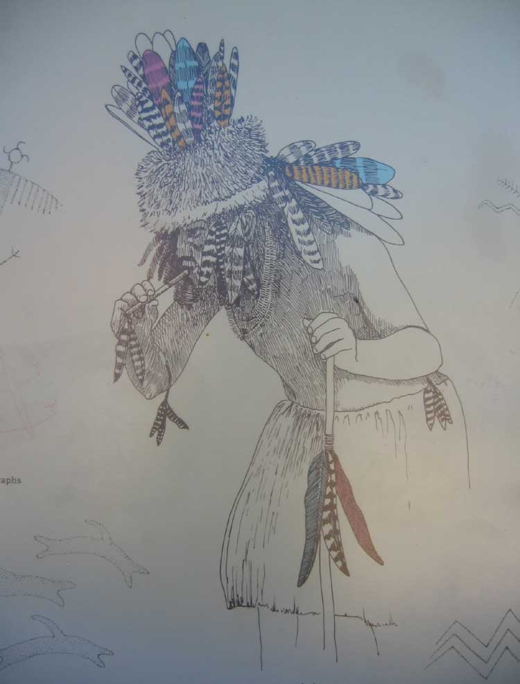
This text is found on a Forestry display on the summit of Mount Pinos. "The Chumash and other North American Indian groups saw themselves
as part of the natural world rather than its masters. IWIHINMU, Mt. Pinos, was the focal point of this balance. The Chumash call this summit LIYIKSHUP, the center of the world."
"Iwihinmu was created over 100 million years ago. From its 8,831 foot summit, you can see the Sespe, Dick Smith, San Rafael and Chumash Wilderness areas - lands preserved in balance forever."
"On the slopes of Iwihinmu, a world in balance is reflected in the unique mix of sub-alpine, white fir, and Jeffrey pine habitats. Over 150 different plant species can be seen on this mountain
including snowberry, lupine, gooseberry, and buckwheat. These trees and plants provide shelter and food for many wildlife species such as black bear, Lodgepole chipmunk, bobcat, mule deer,
great-horned owl, and even the California Condor."
"To the Chumash, Condor is "Almiyi", whose soaring flight represents the survival of the Chumash native culture. The Condor has a nine foot wingspan and average weight of twenty pounds.
The Condor can be seen soaring above large, open areas of Iwihinmu searching for carrion. The Chumash regard the California Condor as a sacred bird because it symbolizes the balance of power
in all living things."
"This sign is dedicated to the elders who have perpetuated the Chumash Culture and have interpreted it for the rest of society."
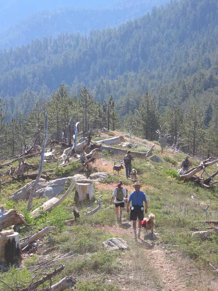
The following series of photos were taken during a hike heading west along the Tumamait Trail from Mount Pinios towards Cerro Noroeste on Sunday, July 10th, 2005.
^ ^ ^ This is the trail head on the eastern end of the hike. The trail starts with hike up to the summit of Mount Pinos from the large car park in front of the Mount Pinos Nordic Base.
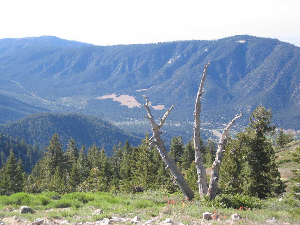
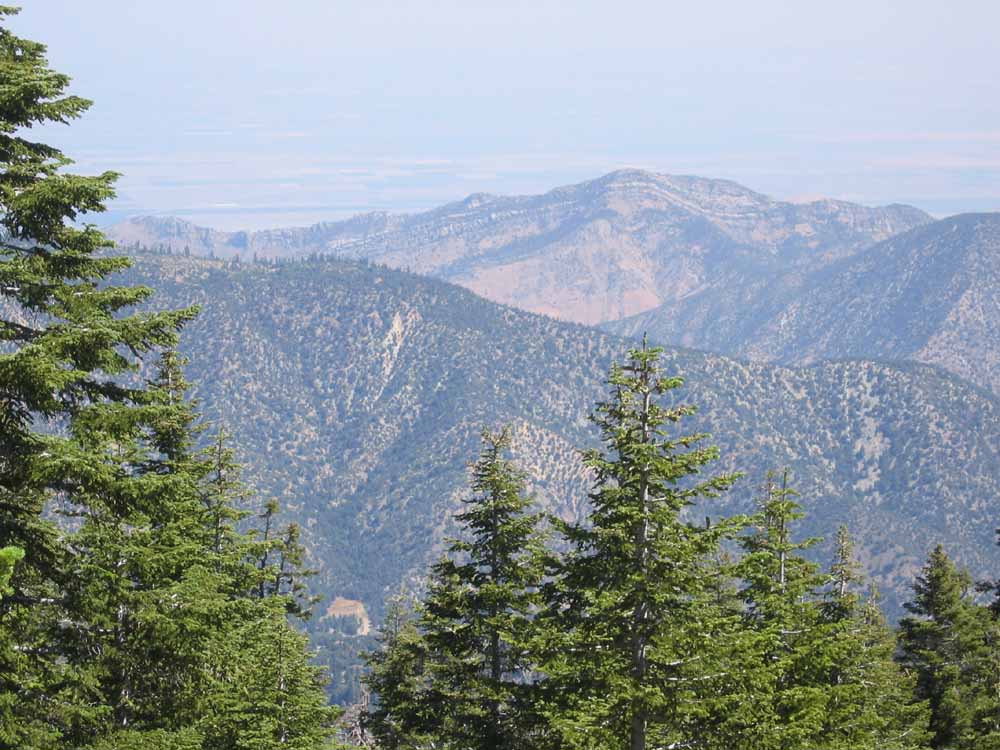
^ ^ ^ A view from near the summit of Mount Pinos. The "Meadows" on the side of San Emigdio Mountain can be seen clearly in the center background. The Pine Mountain Club township and Mil Potrero Highway are also visible.
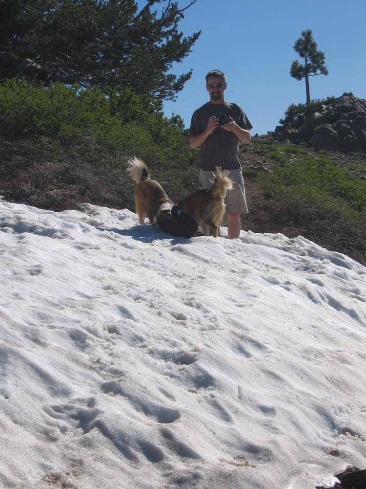
^ ^ ^ Snow in July! This is the last remaining patch of winter snow near the summit of Mount Pinos.
^ ^ ^ Our English Shepherds, Zena and Max, love snow.
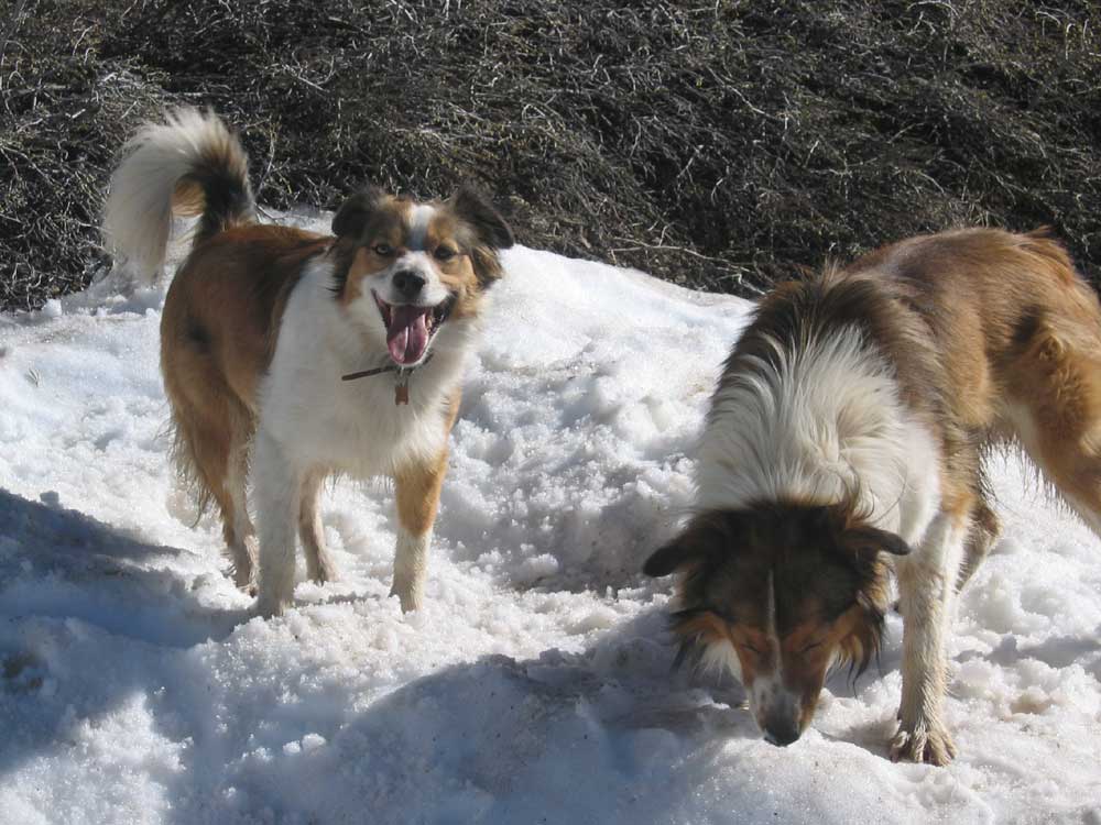
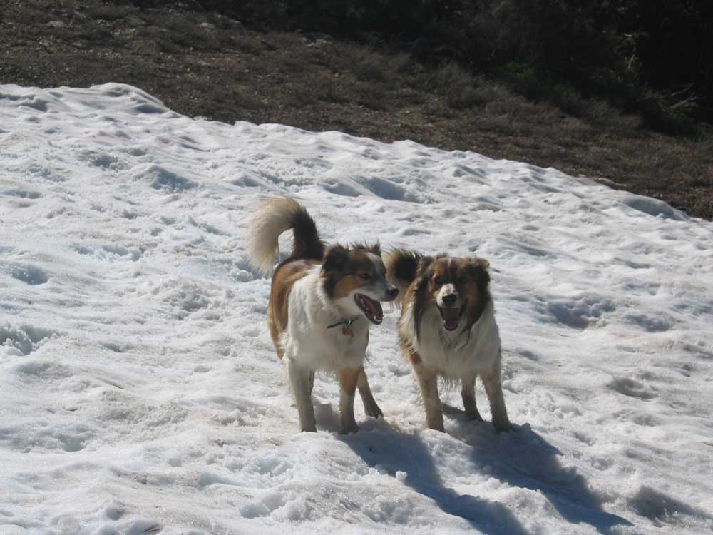
^ ^ ^ They can't get enough of it.......
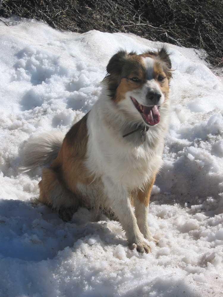
^ ^ ^ Phew ......... need a rest.
^ ^ ^ Another view to the north west.
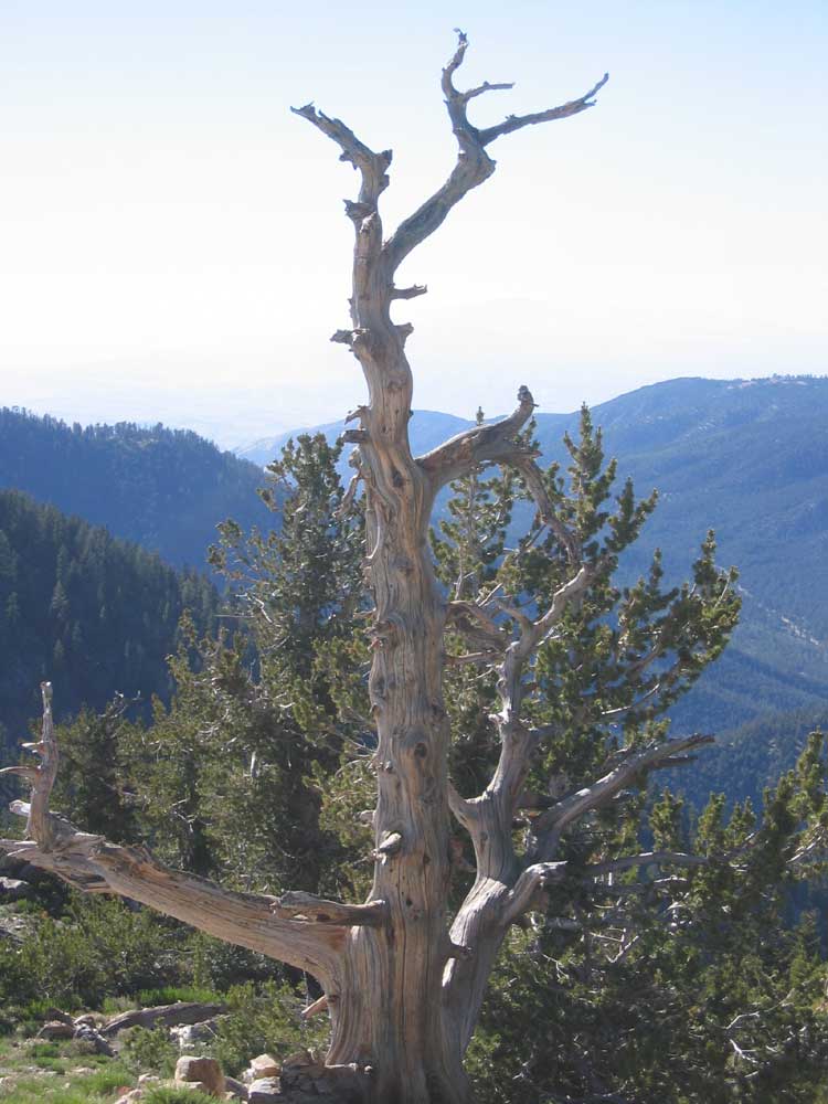
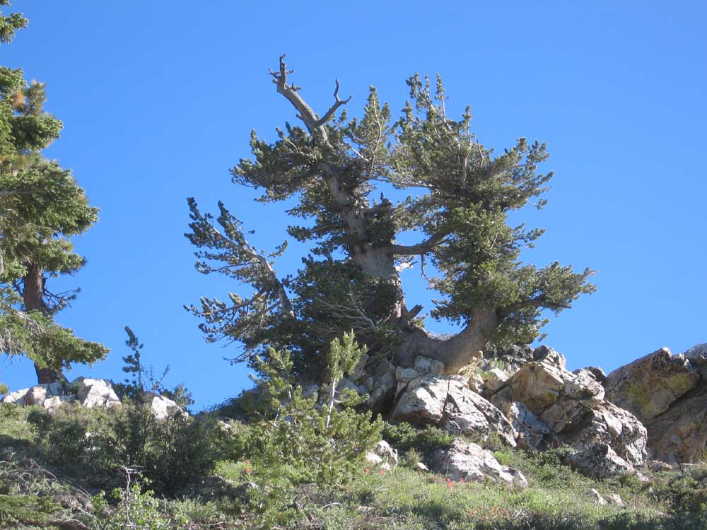
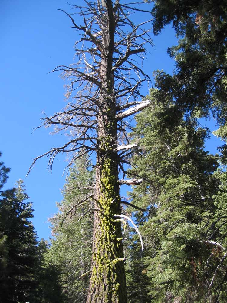
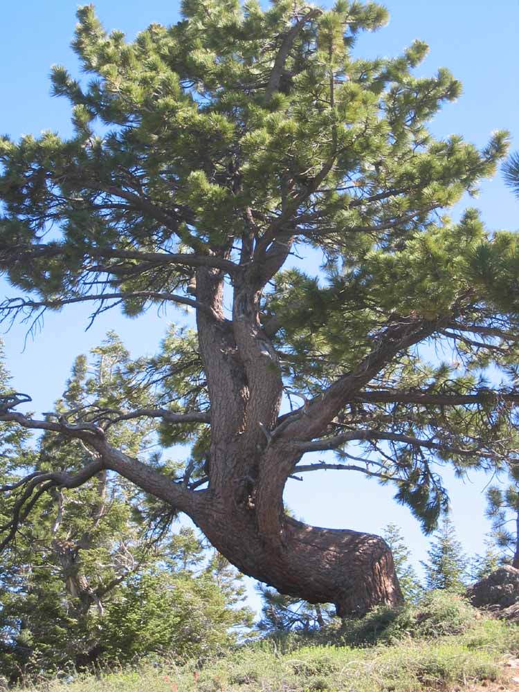
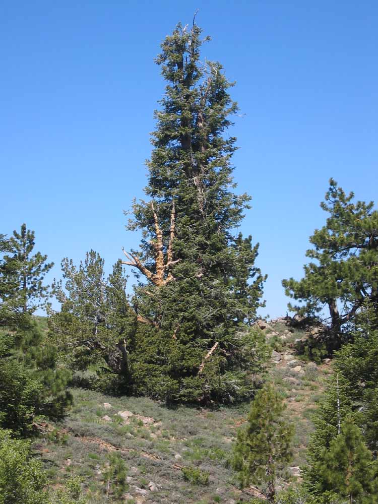
^ ^ ^ Majestic, windswept trees near the summit.
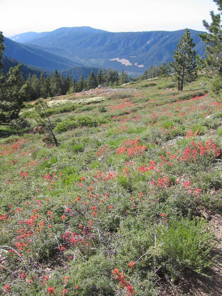
^ ^ ^ A carpet of "Indian Paintbrush" wildflowers flows across this slope as you descend the switchbacks on Mount Pinos.
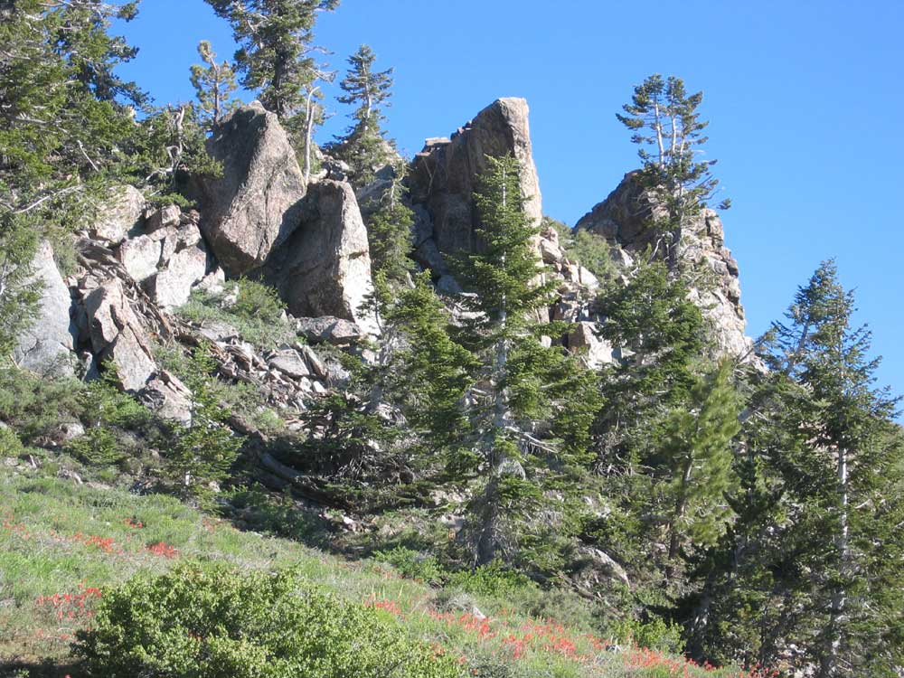
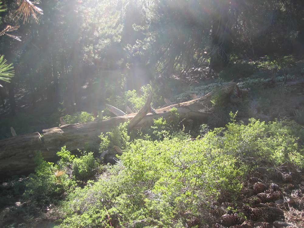
^ ^ ^ A beautiful rock outcrop greeting you as you hike by.
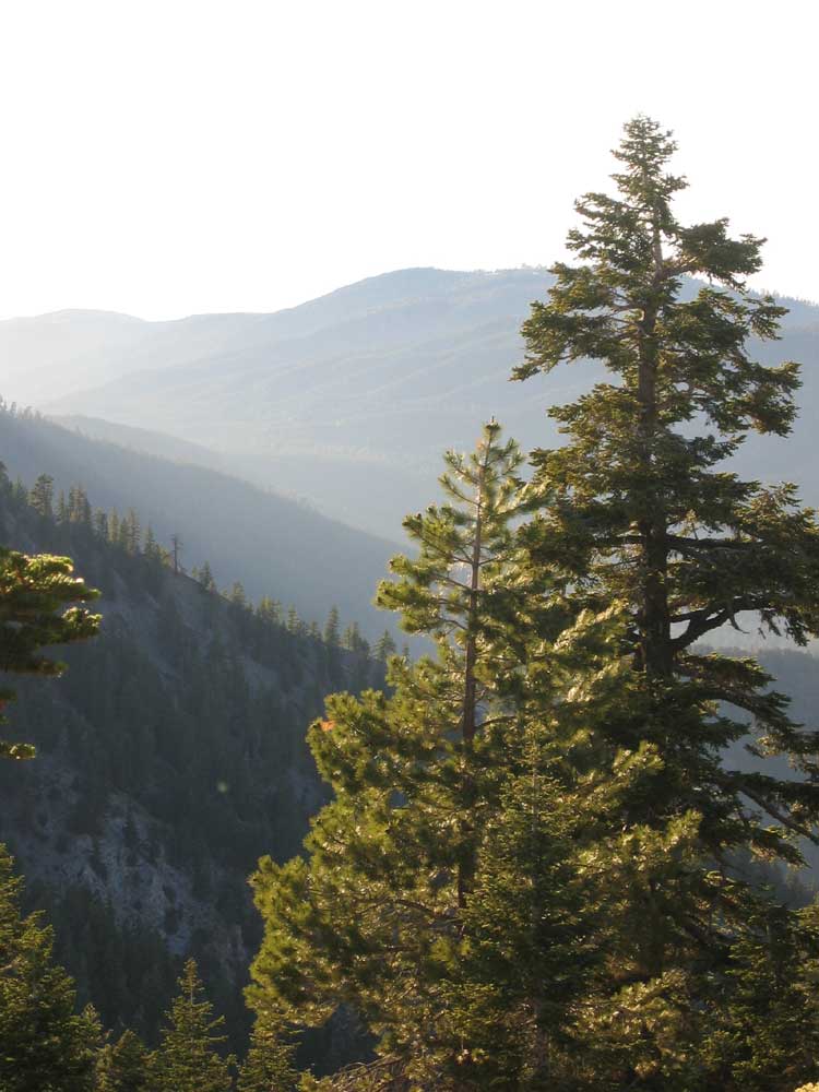
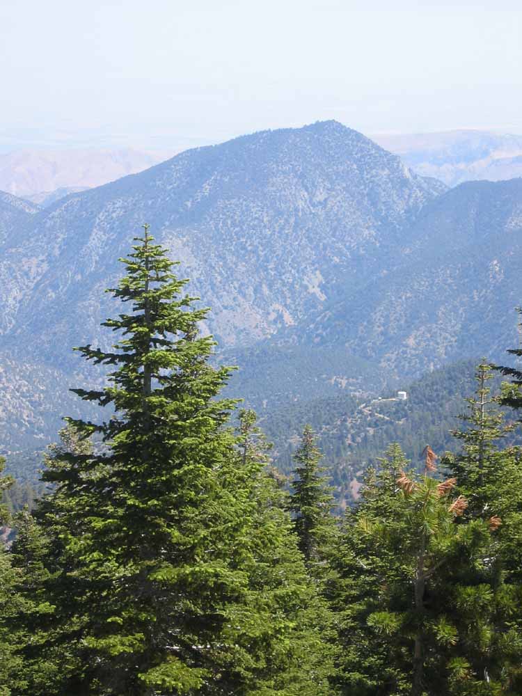
^ ^ ^ View to the north west towards San Emigdio Mountain as the sun sinks over Apache Saddle.
^ ^ ^ The Tumamait Trail heading towards Sawmill Mountain.
^ ^ ^ Growing from a rocky outcrop.
^ ^ ^ Adapted to an extreme environment.
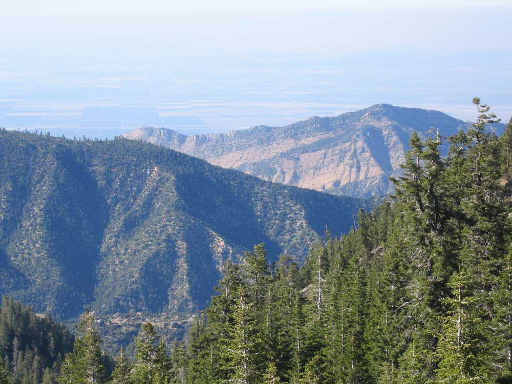
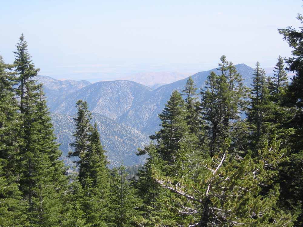
^ ^ ^ A spectacular view of San Emigdio Canyon, the location of the ancient El Camino Viejo (The Old Highway) winding its way towards the Windwolves Preserve and the San Joaquin Valley in the far distance.
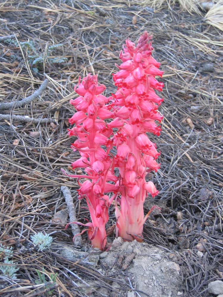
^ ^ ^ There were many Snow Plants along the trail.
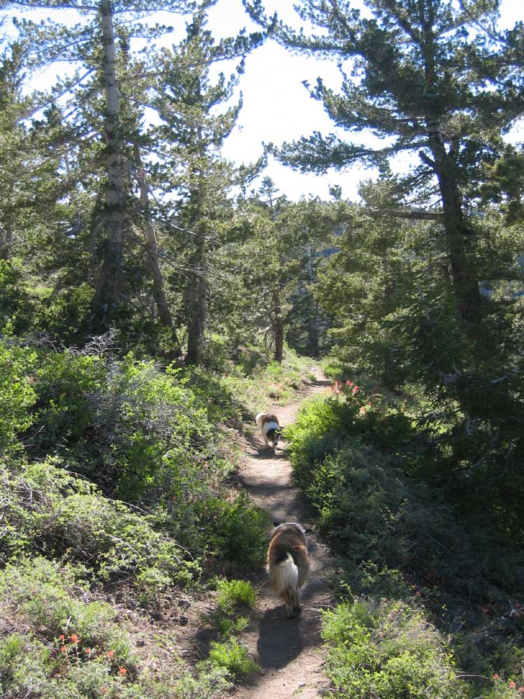
^ ^ ^ Zena, a keen hiker.
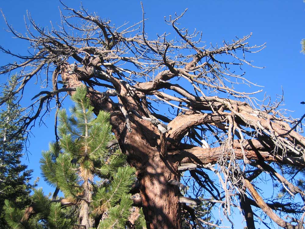
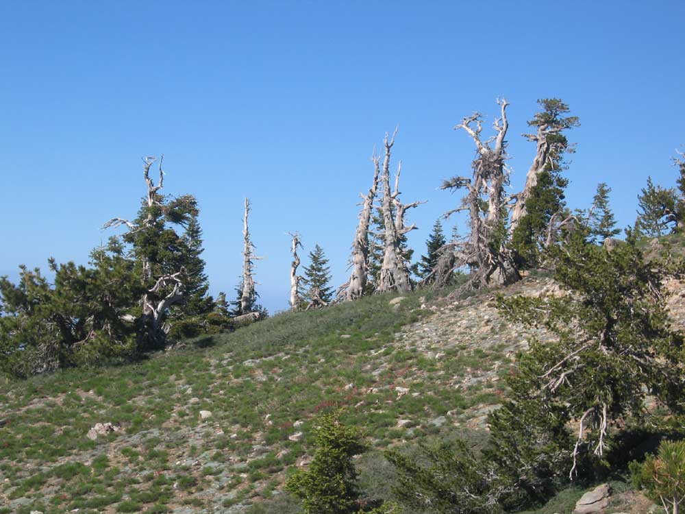
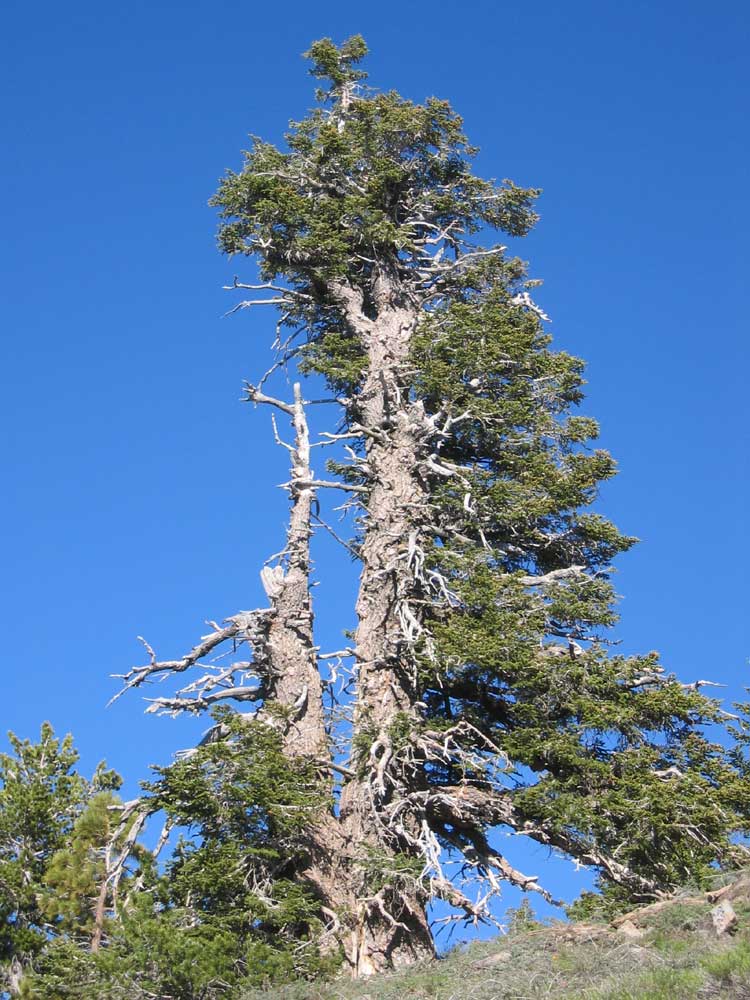
^ ^ ^ There are many dramatic trees like this one.
^ ^ ^ As it was getting late, we turned around at this point and retraced our footsteps. This is in the gentle saddle between Sawmill and Grouse Mountains. I estimate our turn-around point was about one third of the way to the trail head at Cerro Noroeste.
Although you can manage a return hike in a single day, you can also coordinate transport at either end of the trail.
Here is a brief outline about how you might do this:
(1) Drive both vehicles to the final destination.
(2) Park one vehicle there and everybody gets in the other vehicle, and drives to the start of the hike.
(3) Then hike across to the vehicle you left at the final destination.
(4) Load up and drive that vehicle back to the start of the hike.
(5) Finally, drive both vehicles back home again - phew!
You need a minimum of two people with two vehicles to do this of course. Easy in principle ..... just annoying and time consuming in practice because the two mountain peaks are relatively
far apart by road (about 24 miles). I'd estimate allowing an extra hour before and after the hike for this vehicle shuttling operation (about 2 hours in total). Or park the 'destination vehicle'
at the end of the hike the night before to save time on the actual hike day.
To give you an idea of time and distance, starting from the Pine Mountain Club tennis courts or fire station (i.e. the intersection of Symonds and Mil Potrero Hwy) the driving distances are:
(1) 14.5 miles to the Nordic Base carpark on Mount Pinos and (2) 9.6 miles to the Cerro Noroeste trail head.
If hiking from peak to peak and back again in a single day, it is better to go from Cerro Noroeste to Mount Pinos and back to Cerro Noroeste. This avoids the 2 mile hike up and down from the
car park on Mount Pinos, so only 9 miles going east then west, but 13 miles going west then east.
Another way to do it with two vehicles with each vehicle and their occupants starting at either end of the trail and hiking towards each other. When you pass each other along the trail,
swap car keys (or maybe leave them hidden near the cars before you set out, or give the other person a duplicate set of keys before hand). When you get to the other end of the hike, drive that
vehicle home and finally re-unite vehicles with their rightful owners. This should save about an hour during the course of the day.
Another idea to avoid car shuttling all together, is to hike from either end of the trail to the half way point, or as far as is comfortable, before returning to your starting point.
Then on another day, hike from the other end of the trail until you overlap the hikes and in this way you will have covered the entire route. This is what we did with the hikes described here.
![]()
The next series of photos were taken on a hike heading east along the Tumamait Trail from Cerro Noroeste to Mount Pinios on Sunday, July 17th, 2005 (i.e. one week later).
^ ^ ^ This is the trail head on the side of Cerro Noroeste, right next to Cerro Noroeste Road. It is about half a mile before Campo Alto campground near the summit of the mountain. This sign is 6.6. miles from the forestry gate, or 7.0 miles from the turn off from the highway at Apache Saddle, or 9.6 miles from the Pine Mountain Club tennis courts or fire station.
^ ^ ^ Setting out along the trail 22W03 towards Mount Pinos. The first half mile follows a ridge going steeply downhill.
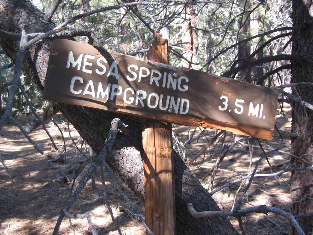
^ ^ ^ After approximately half a mile, you come to a branch trail. This is is the trail 22W21 to Mesa Spring.
^ ^ ^ You enter a forest of White Firs (seen in the background) when climbing the slopes of Grouse Mountain.
^ ^ ^ White Fir trees are usually found at higher altitudes compared to pines.
^ ^ ^ That's the summit of Grouse Mountain (8582 feet).
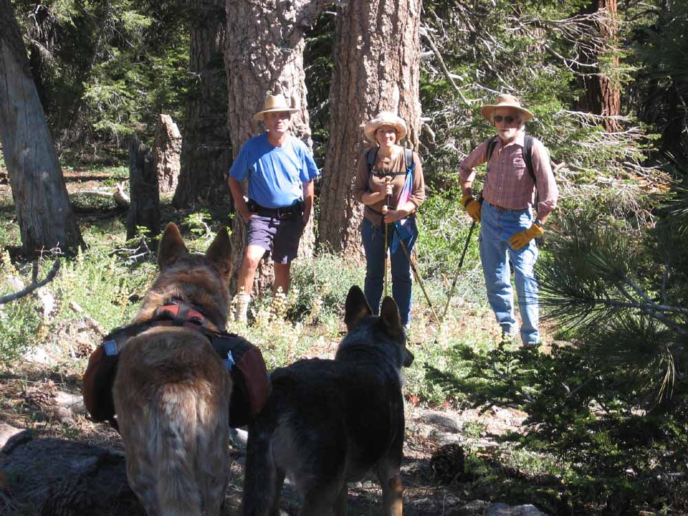
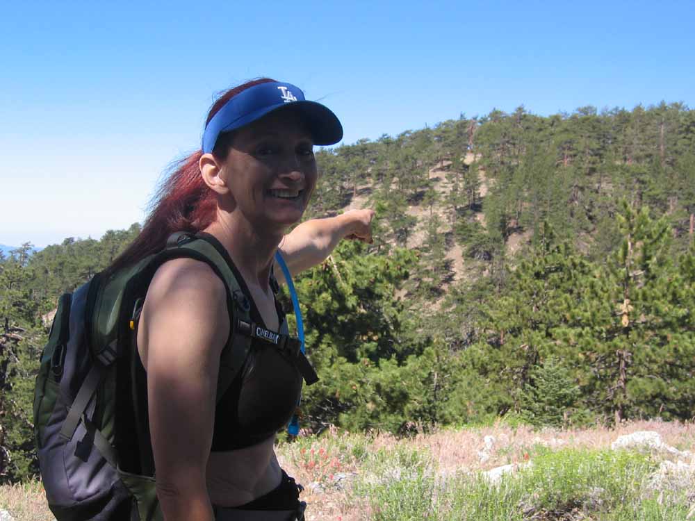
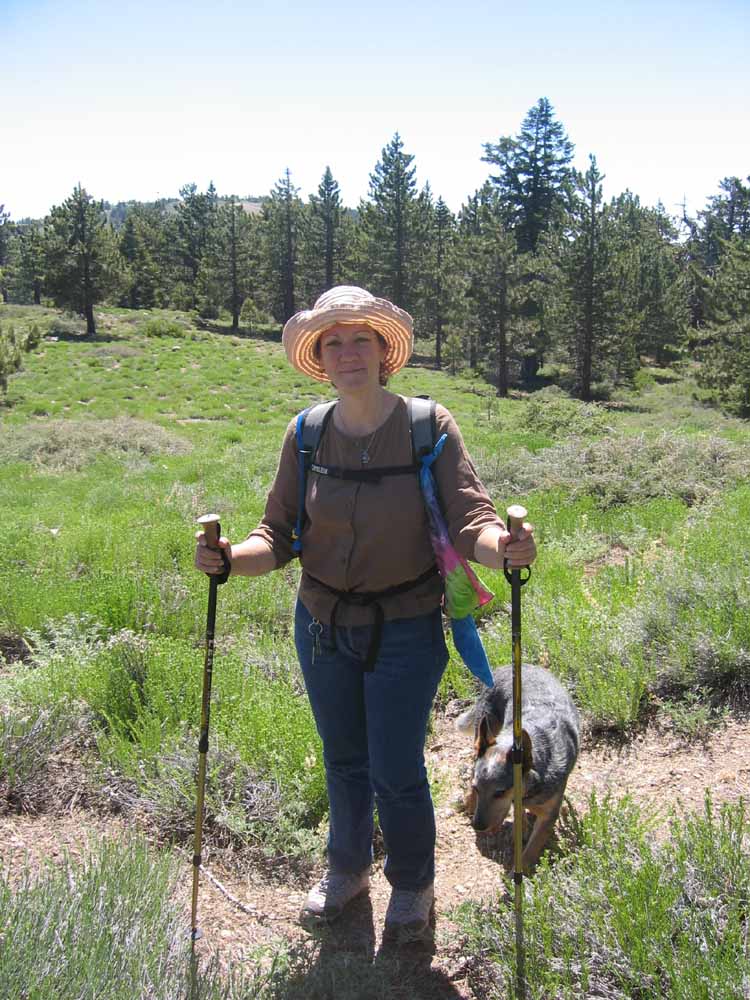
^ ^ ^ Our hiking companions, Ches, Zina, Dale, and Australian Cattle Dogs, Senna and Blade.
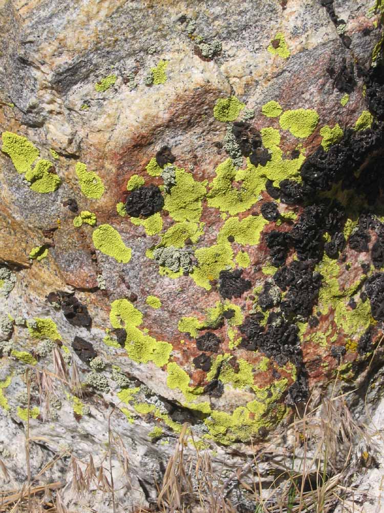
^ ^ ^ Lichen.
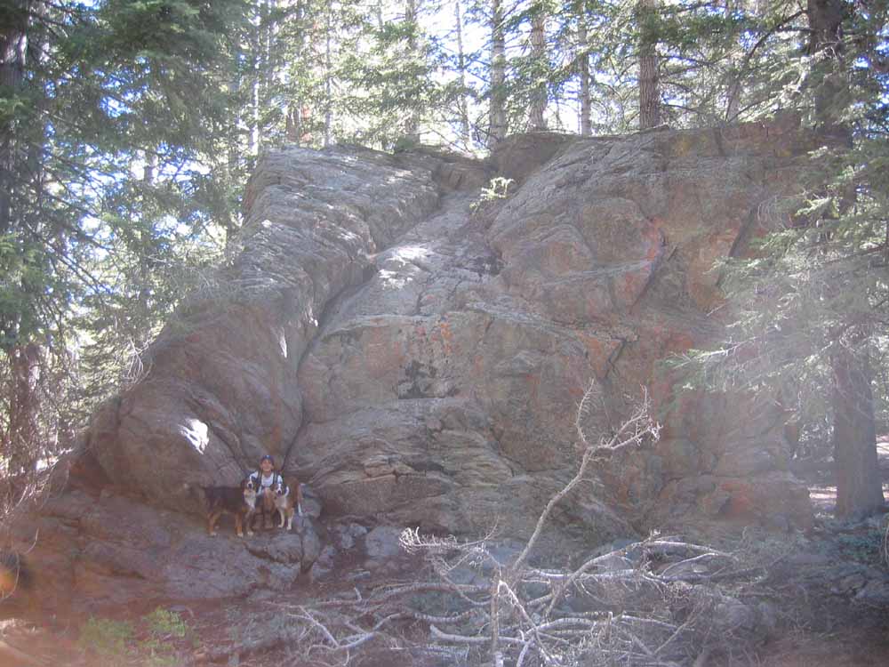
^ ^ ^ A large rock outcrop on Grouse Mountain.
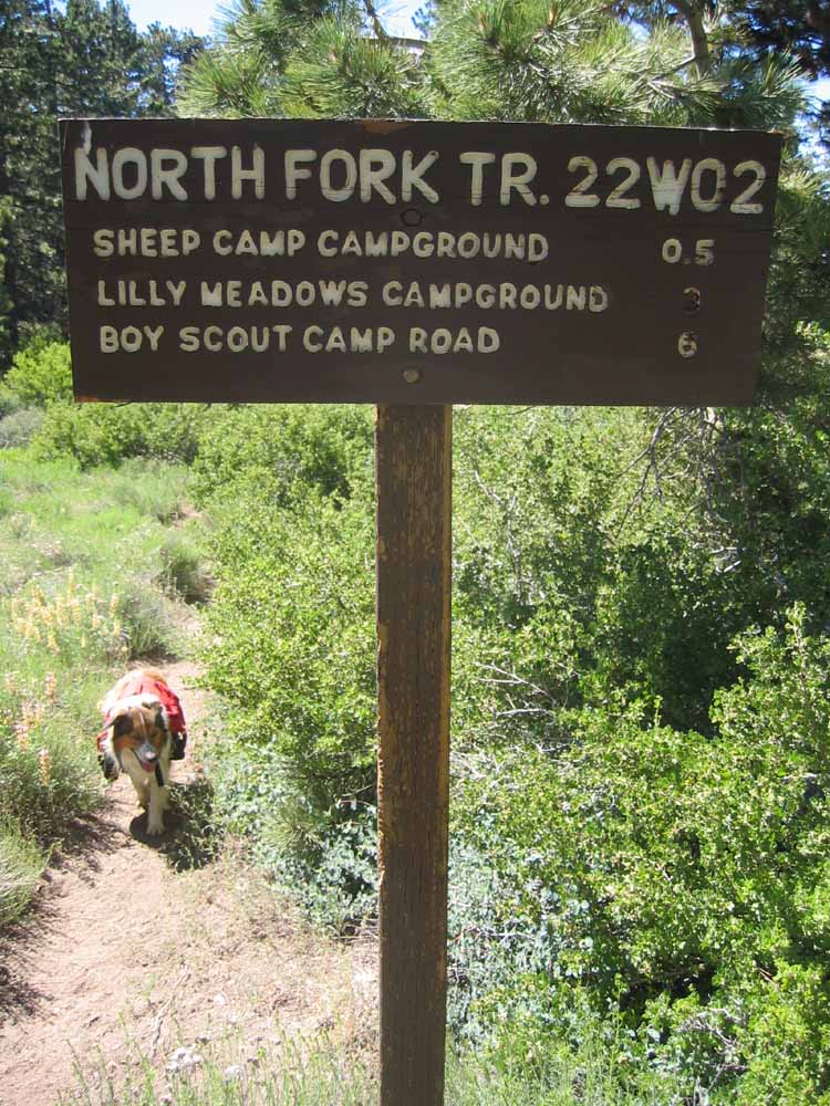
^ ^ ^ This sign and branch trail is about half way along the route. Trail 22W02 descends to Sheep and Lilly Meadows campgrounds, and eventually Boy Scout Camp Road in Lockwood Valley far below.
^ ^ ^ This almost right-angle bend could be natural or might be man-made perhaps?
^ ^ ^ Zina loves hiking - Blade too.
^ ^ ^ A view towards San Emigdio Canyon. That's Antimony Peak on the right.
^ ^ ^ Closer view of San Emigdio Canyon, the route of the ancient El Camino Viejo (The Old Highway).
^ ^ ^ Closer view of Antimony Peak.
^ ^ ^ Behind this tree, a spur overlooks the township of Pine Mountain Club.
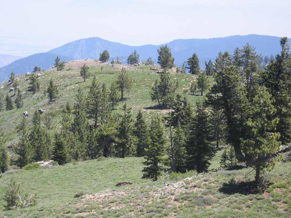
^ ^ ^ This is the spur jutting out near the summit of Sawmill Mountain with dramatic views in all directions.
^ ^ ^ This rock cairn at the end of the spur is visible from Pine Mountain Club down below, but it is not the true summit of Sawmill Mountain. It is an excellent spot to have lunch.
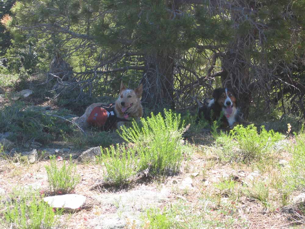
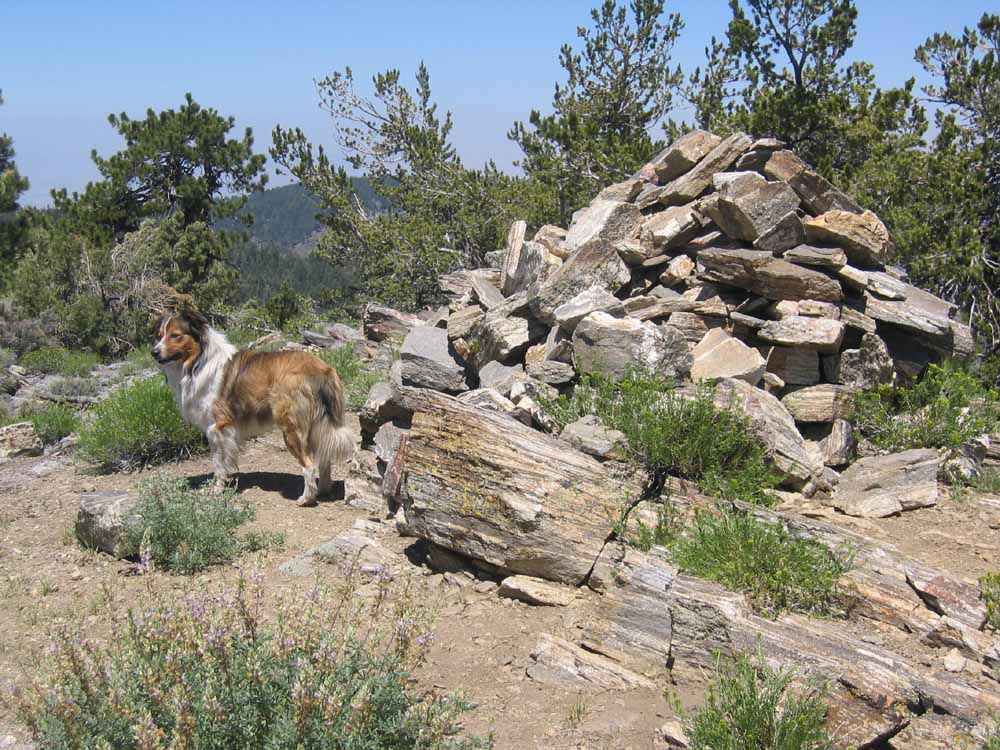
^ ^ ^ Senna and Teddy are quick to find a shady spot.
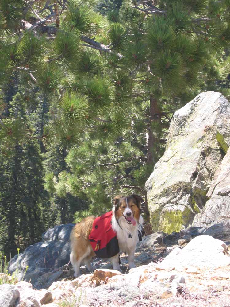
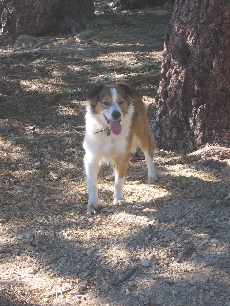
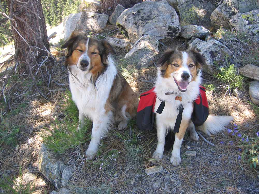
^ ^ ^ Max.
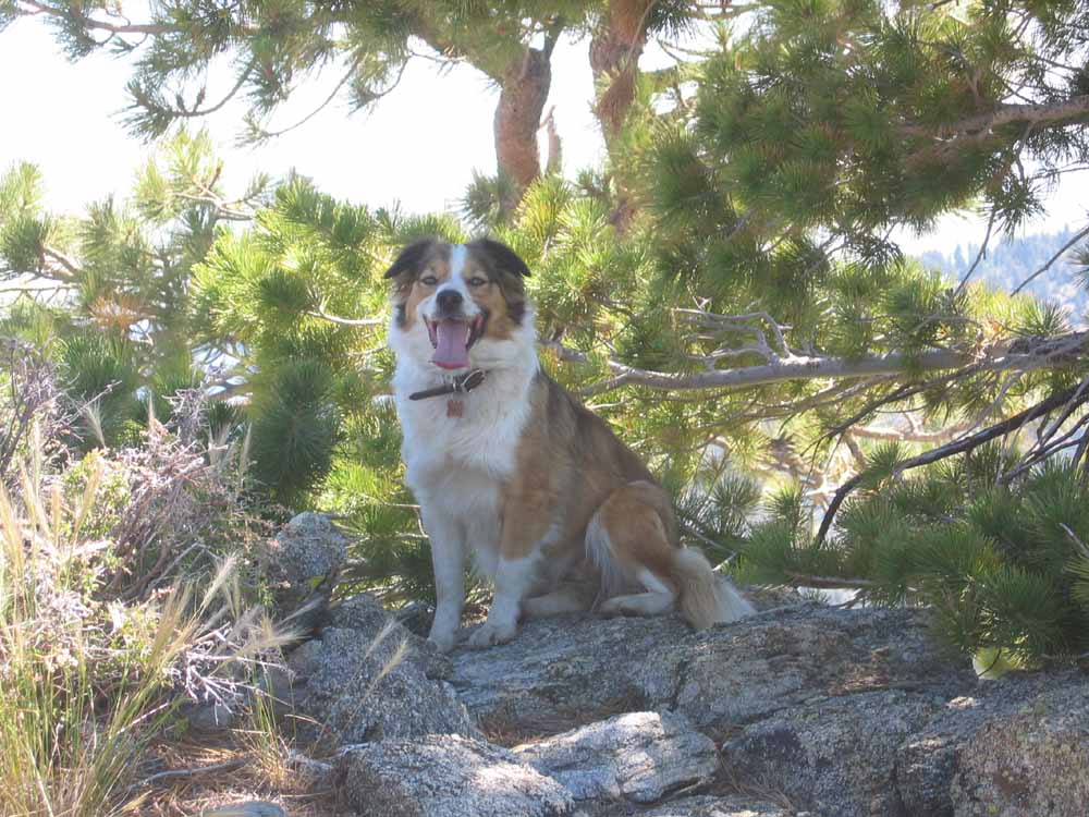
^ ^ ^ Zena.
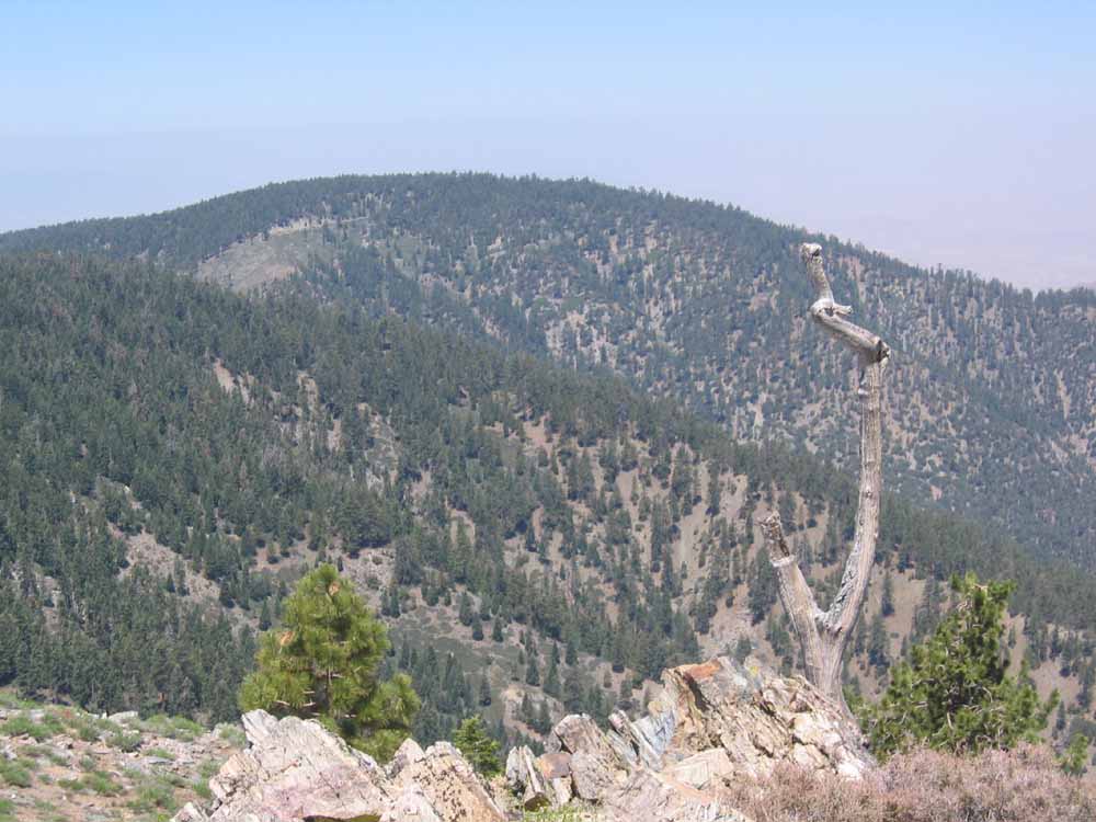
^ ^ ^ Looking back towards Cerro Noroeste, where we commenced the hike.
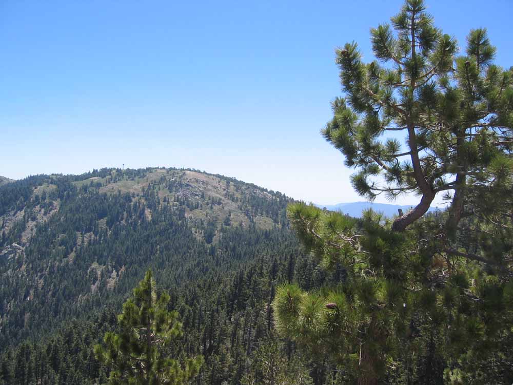
^ ^ ^ Looking towards Mount Pinos, our goal.
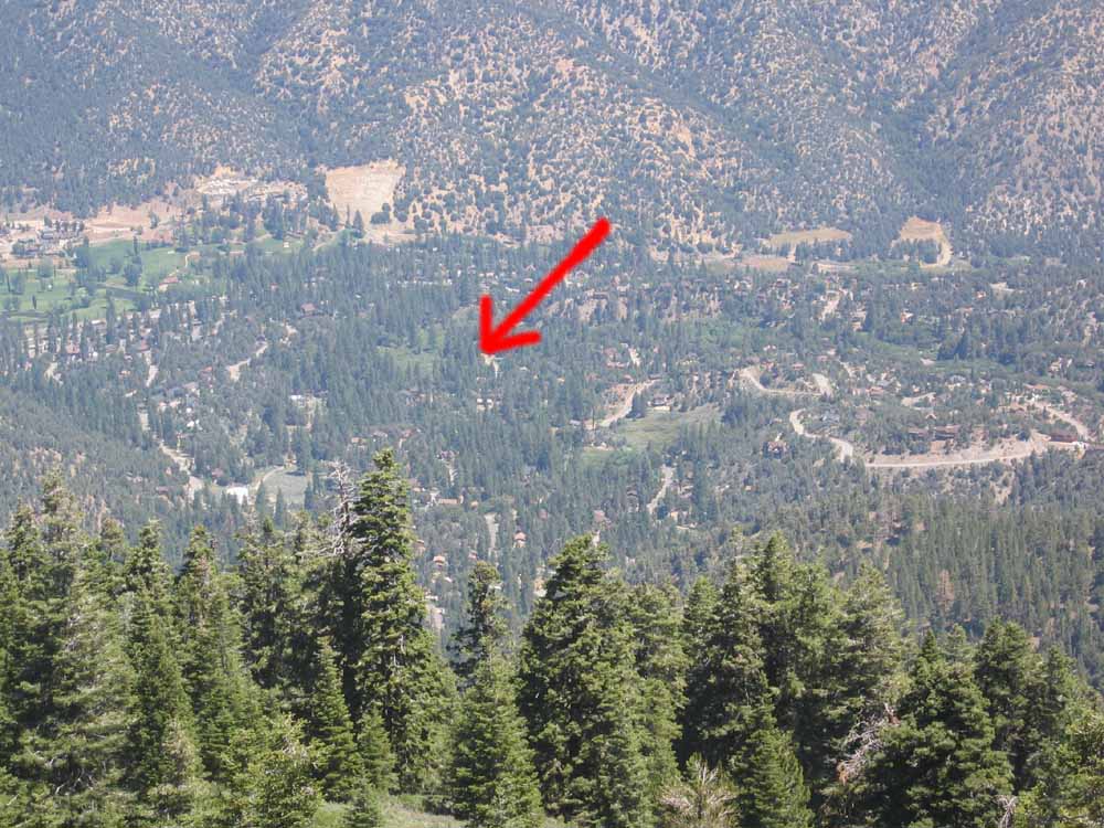
^ ^ ^ Looking down towards Pine Mountain Club. The arrow points to our house.
^ ^ ^ Max and Zena are ready to hit the trail again.
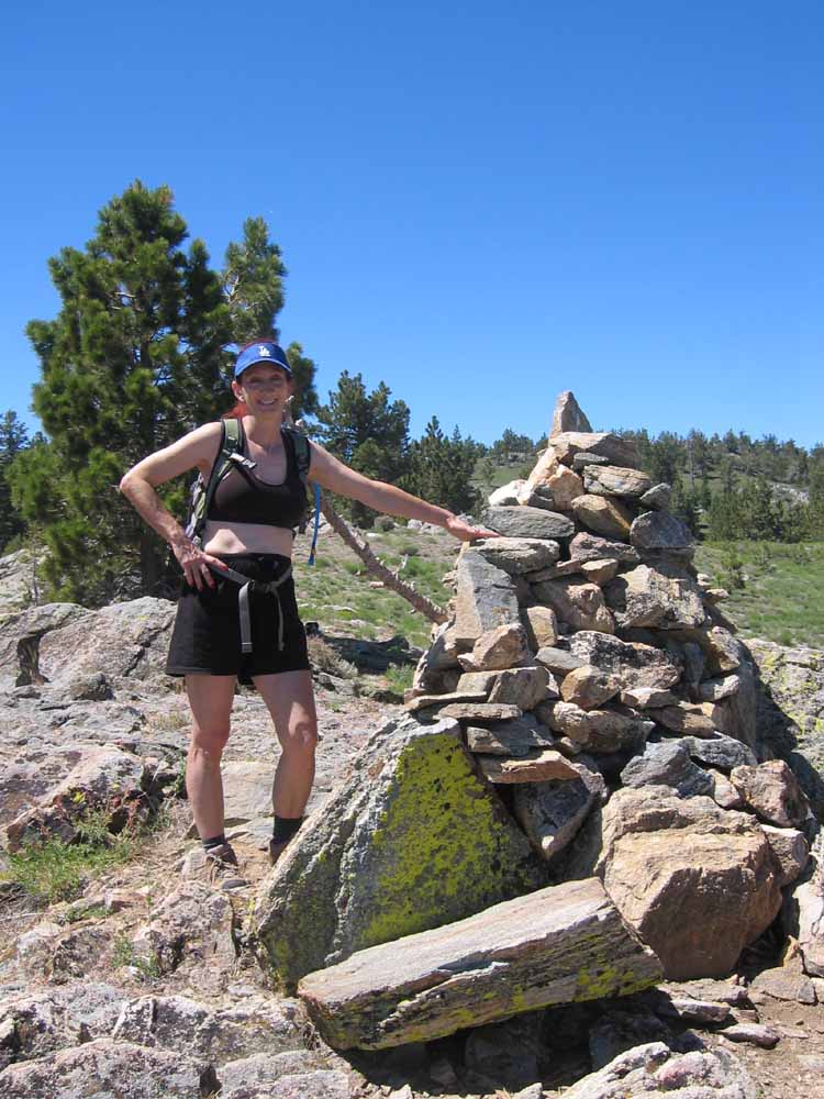
^ ^ ^ A side trip to this rock cairn which marks the true summit of Sawmill Mountain (8818 feet). It is visible from the lunch rest stop and the other cairn seen earlier.
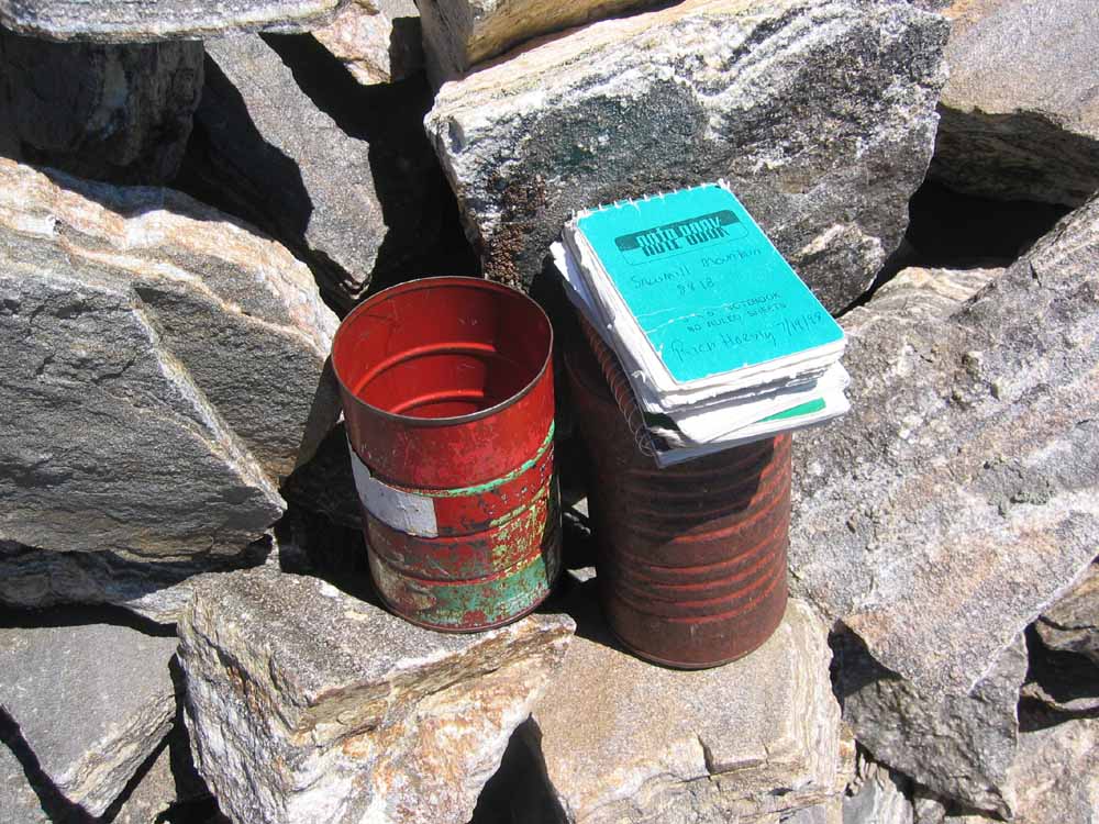
^ ^ ^ A register can be found stashed in the rock cairn. It has entries going back about 10 years. I believe this register is maintained by the Hundred Peaks Society.
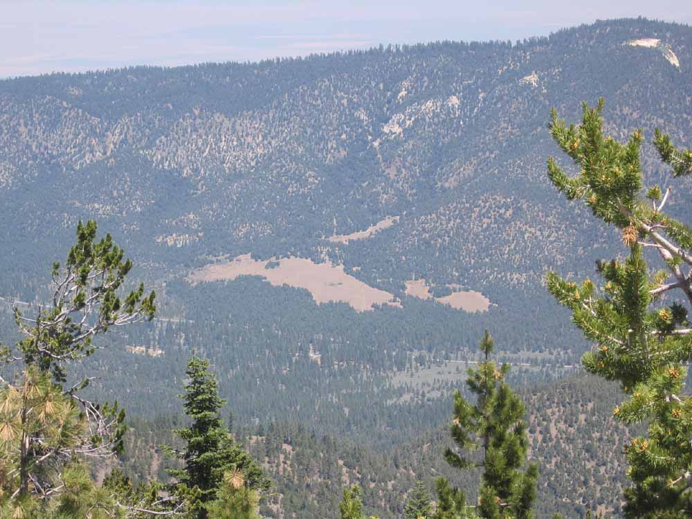
^ ^ ^ "The Meadows" and Mil Potrero Highway seen from the summit of Sawmill Mountain.
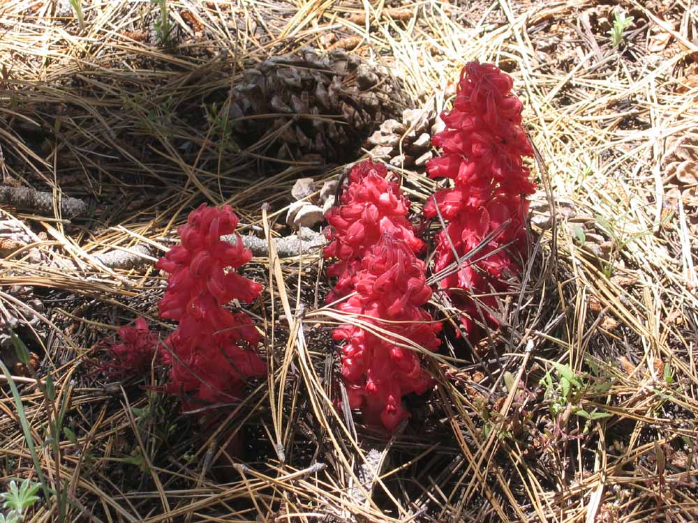
^ ^ ^ Snow Plants were in abundance. A this point, the battery in my camera was exhausted, so no more photos. But the last part of the hike is covered by the first series of photographs at the top of the page. Click here to return to the top of the page.
![]()
Peter Gray
telephone: +1 (661) 242-1234