Cerro Noroeste: Hikes
18 August 2018
There are two trails descending from the top of Cerro Noroeste to the turnout near the seasonal snow gate and the nearby Peak to Peak Mountain Charter School. The routes follow the ridge lines of two adjacent, parallel spurs descending towards the base of the mountain on the north side. The western route drops down to Camp Condor while the eastern route bypasses Camp Condor staying on the ridge to the east.
The western route departs the Campo Alto campground on top of Cerro Noroeste going down a dry gulch at roughly 45-degrees to the roadway opposite camp site #11. You will find a clearly defined trail running downhill along this dry gulch (usually with fresh mountain bike tracks).
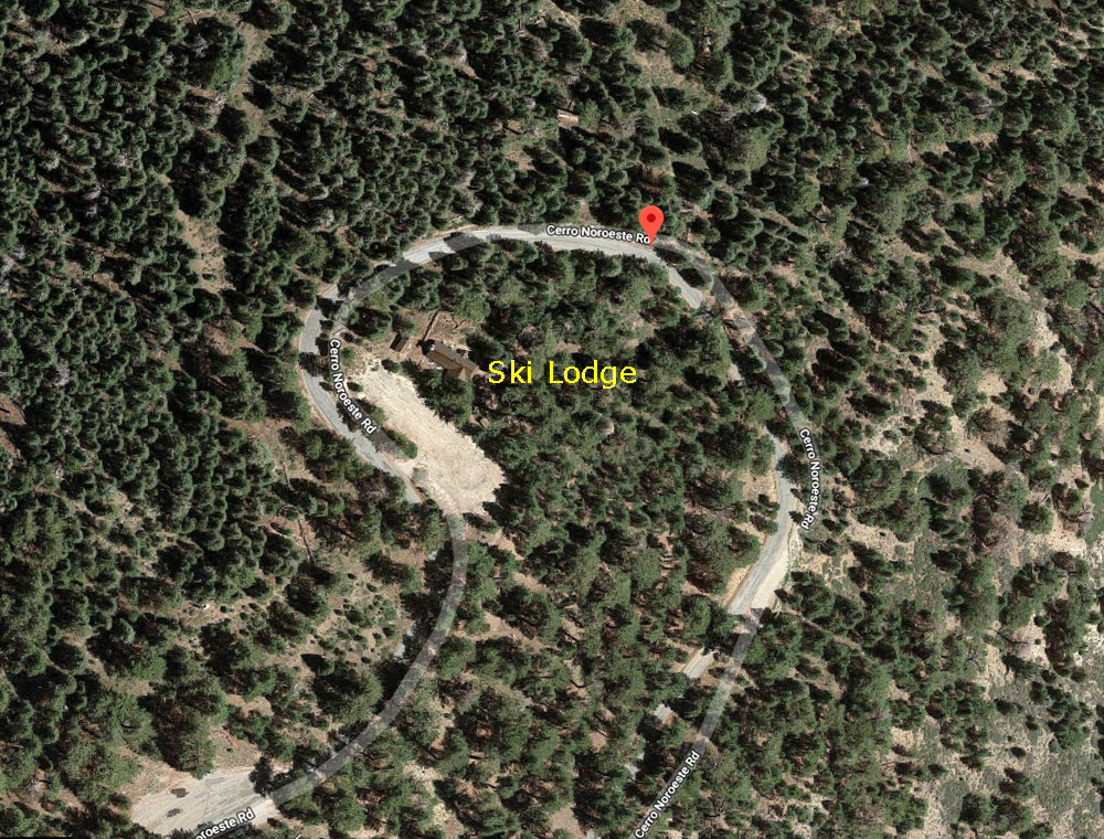
I will describe the eastern route on this page. The co-ordinates for the eastern trailhead descending from near the old ski lodge are: 34-degrees 50' 3.52" North, 119-degrees 12' 6.94" West. This is roughly halfway around the big loop that circles the old ski lodge on top of Cerro Noroeste as you approach or leave Campo Alto.
^ ^ ^ This satellite image shows the approximate location of the trailhead in relation to the old ski lodge.
By the way, if you don't use Google Earth you can also enter these coordinates in Google Maps in this format: 34 50 03.52, -119 12 06.94 (or 34.834300, -119.201918) and it will show where this spot is along Cerro Noroeste Road.
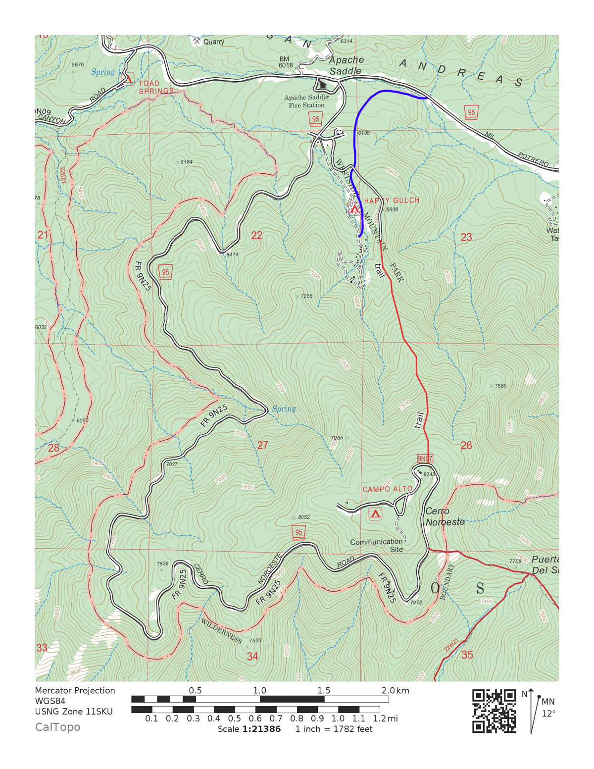
^ ^ ^ This map shows the route descending from Cerro Noroeste near the old ski lodge to the seasonal snow gate near the Peak to Peak Mountain Charter School.
The solid red line marking the route on this topo map assumes the trail follows the top of the ridge line which it does fairly closely. There are some switchbacks not indicated but nevertheless this is very close to the actual route.
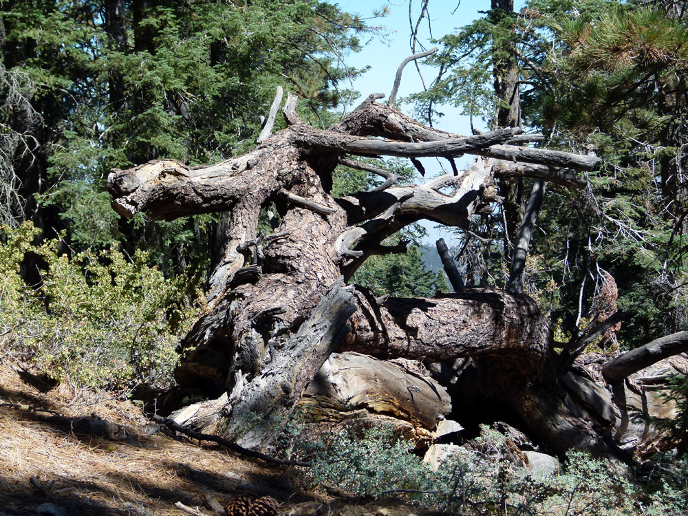
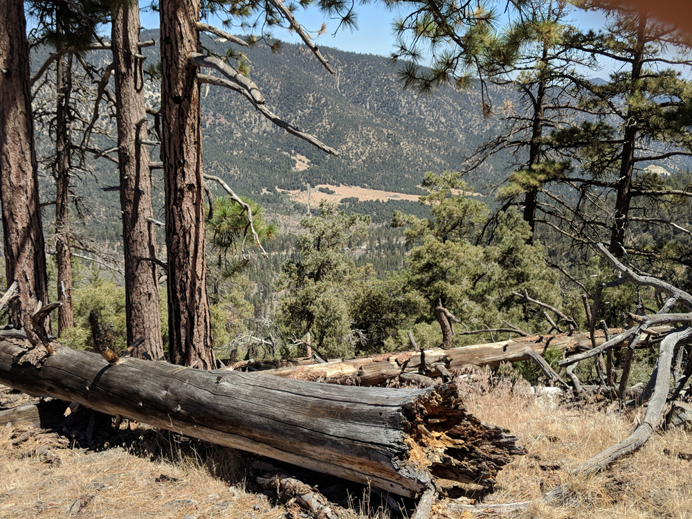
^ ^ ^ The trailhead is right next to (west side) of this distinctive fallen tree that is close to the edge of the roadway. The trail is on the left side as you face the tree. From this angle, the trail runs parallel with the fallen tree just on the other side of the trunk.
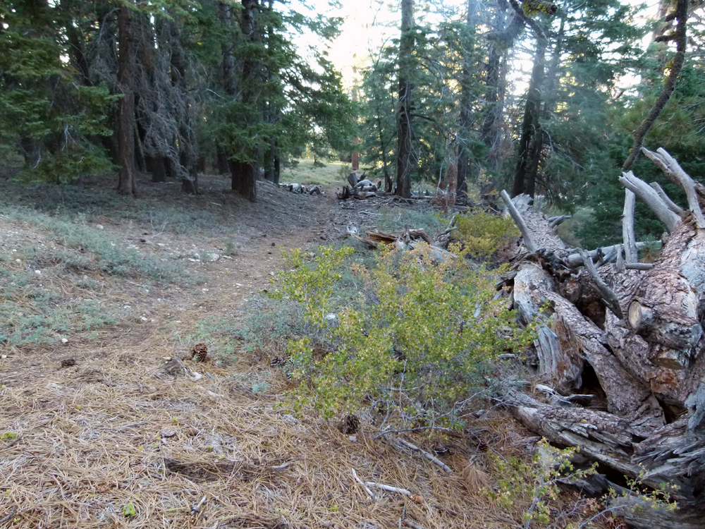
^ ^ ^ A view on the other side of the fallen tree above. This is the beginning of the trail leading to the old ski tow-rope path a short distance away.
After about 40 steps you come to something that looks like an old road on your left. This is the old ski tow-rope path. Some of the original equipment and facilities are still there.
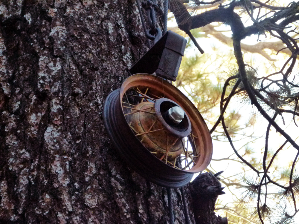
^ ^ ^ This pulley was part of the old rope-tow ski lift.
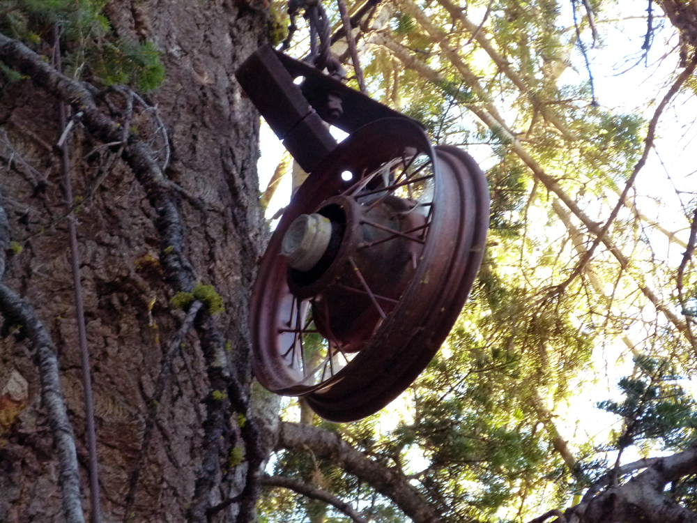
^ ^ ^ Look for this second pulley further down that is suspended high up in a tree.
From this second pully, count 40 steps as you continue down the rope-tow path. Then look for a faint path diverging north-eastward (to the right). It is important that you pick up the trail here. It is hard to spot so you have to look very carefully.
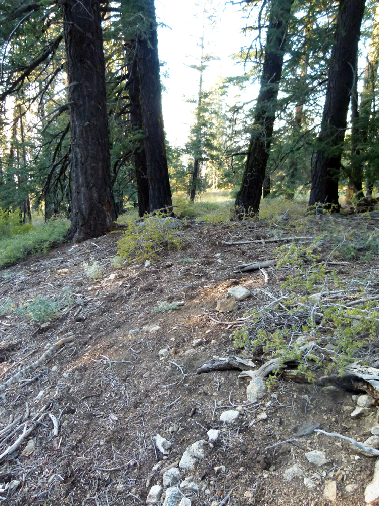
^ ^ ^ As you climb over this berm the faint trail is a little easier to see (but barely).
^ ^ ^ The trail goes between these two trees.
After a few more steps you come to another open area (which is quite possibly one of the downhill ski runs). Here the already faint trail tends to disappear again. The idea is that you need to cross this clearing by going diagonally down hill heading to the other side of the cleared area.
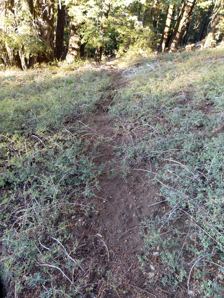
^ ^ ^ Try to pick up this faint trail going down that crosses the clearing.
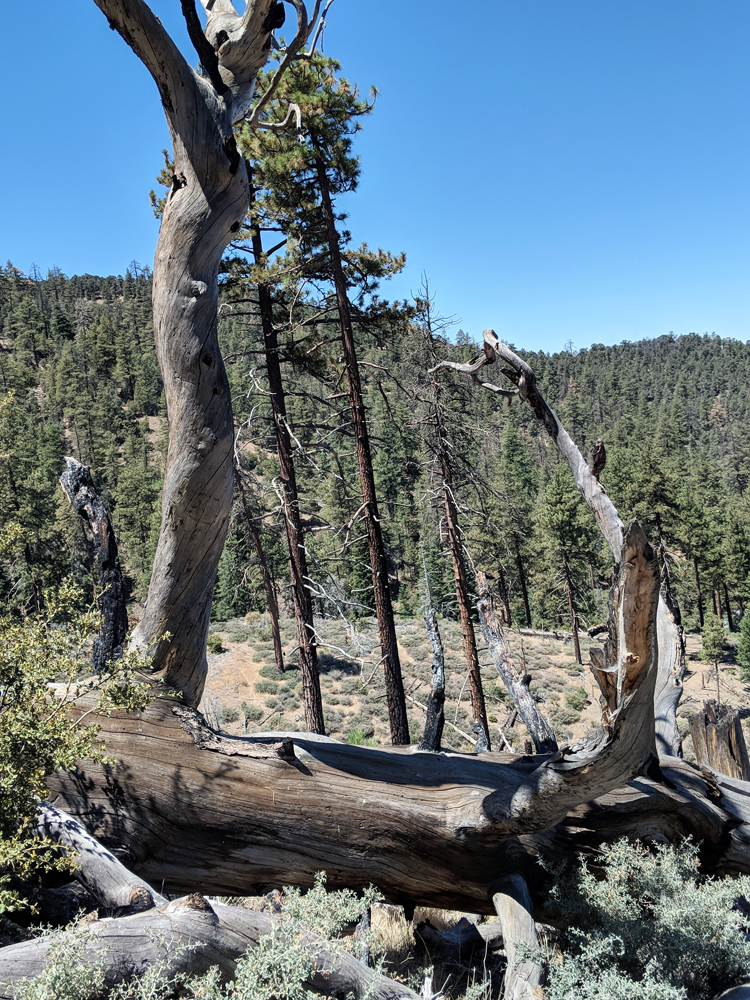
^ ^ ^ If you have trouble picking up the trail again, this landmark will help.
The path you are looking for is at right-angles to the forked tree in the middle-ground. Opposite the forked tree to the right, the path goes down a slope towards what looks like a wooden bridge. From this point onwards, the trail is quite clear and very easy to follow.
^ ^ ^ You know you are on the right path when you come this this mountain-bike jump.
After this, the trail is very easy to follow for the remainder of the descent. Lower down the route crosses a large cleared area where the trail fades away and is hard to see in places. Just keep going down sticking to the ridge line. It is pretty obvious where to go even without a clearly defined trail.
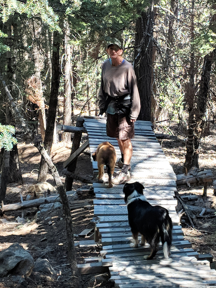
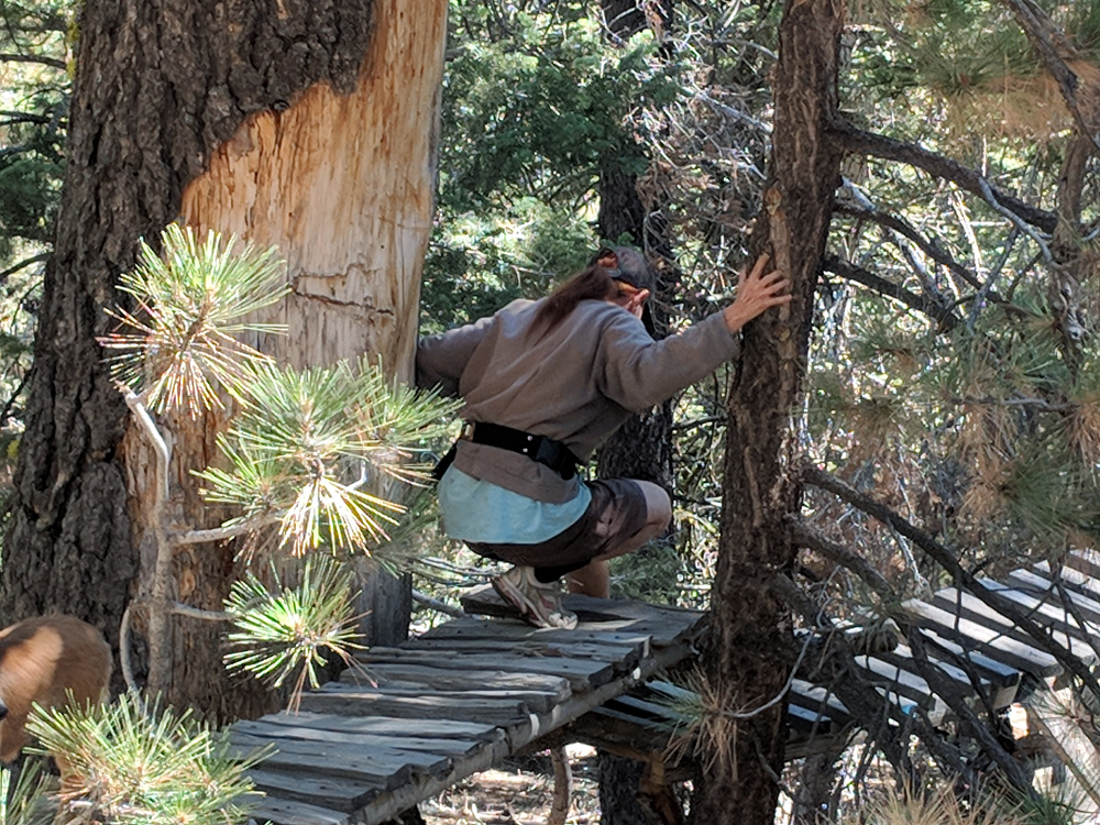
^ ^ ^ A lot of time and effort was devoted to building these ramps and jumps.
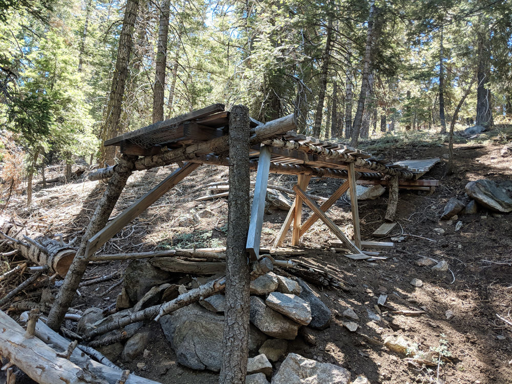
^ ^ ^ They are well engineered.
^ ^ ^ A lot of building materials were hauled in for the construction.
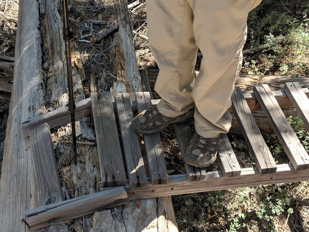
^ ^ ^ A see-saw plank in the middle.
^ ^ ^ A close-up of the see-saw plank.
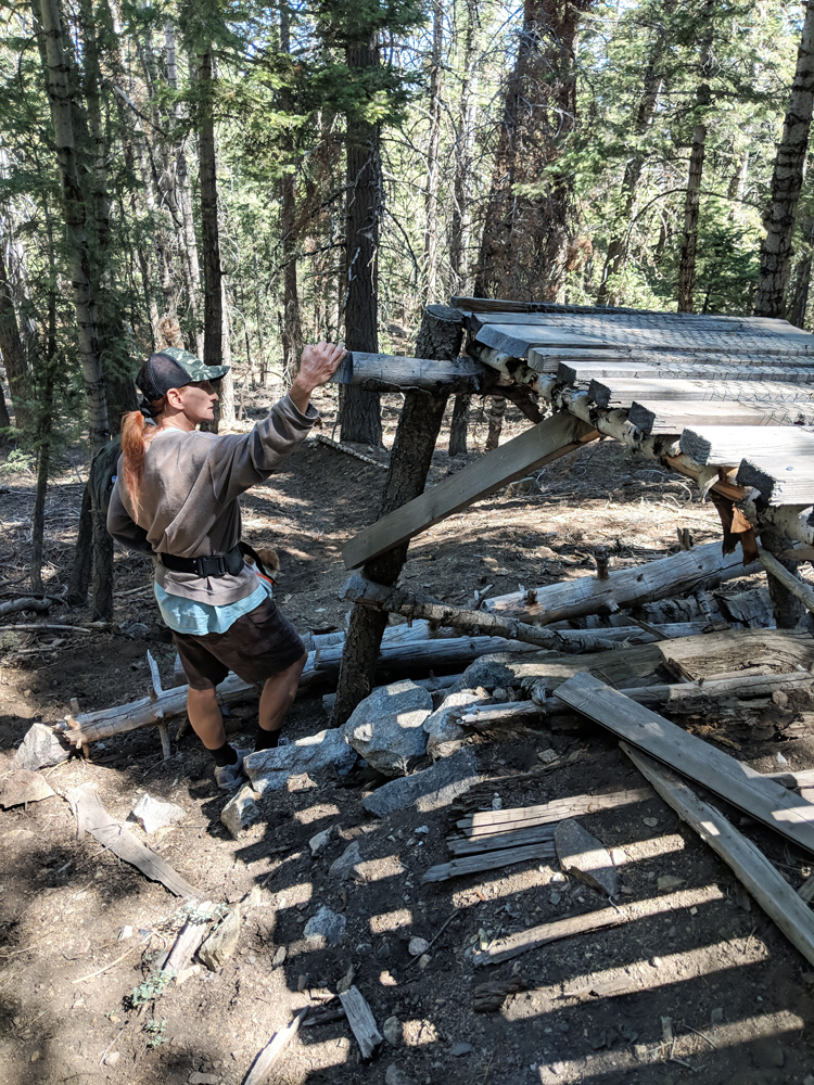
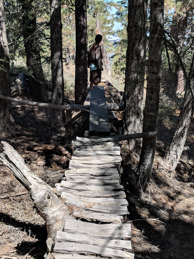
^ ^ ^ The lower ramp here was at the point of collapse suggesting these ramps and jumps have not been used for many years.
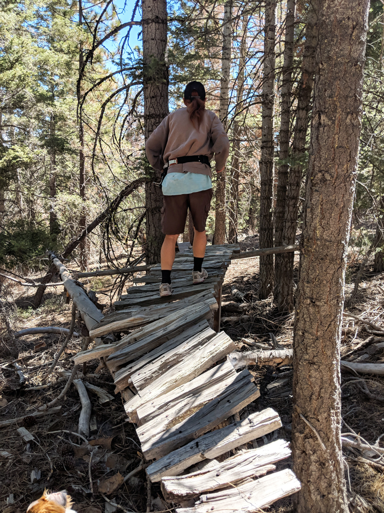
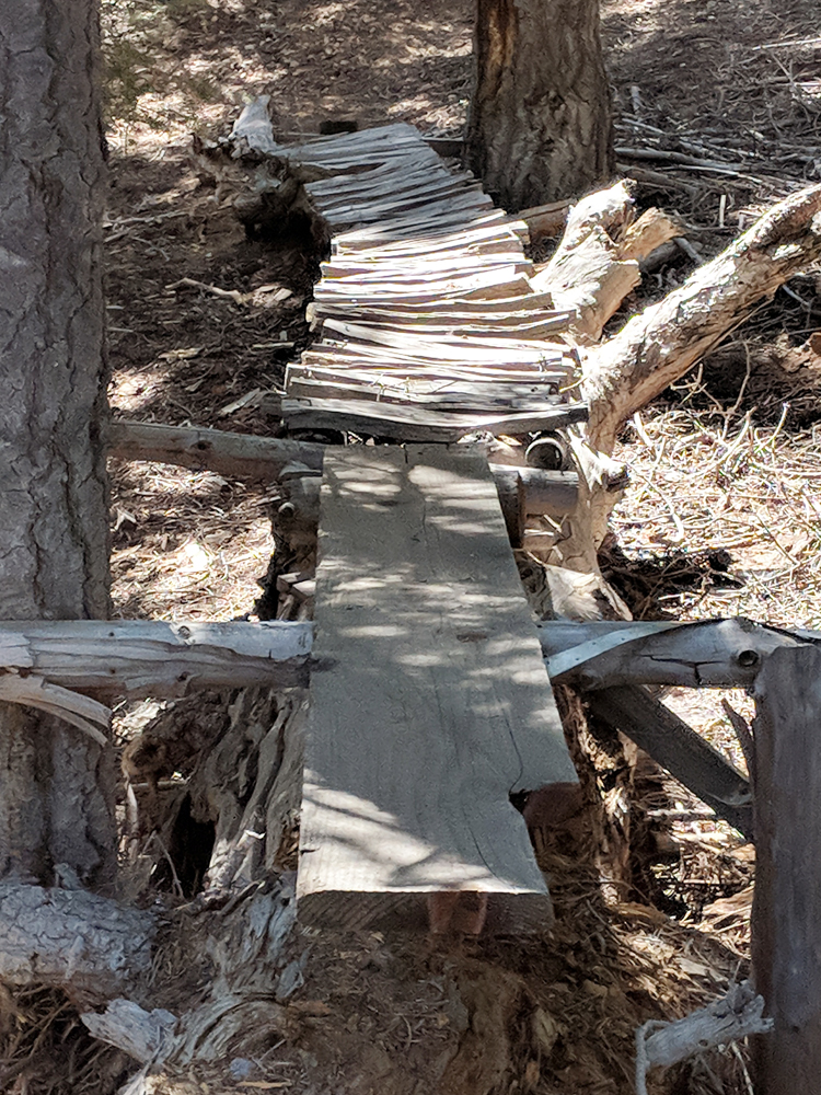
^ ^ ^ The lower part of this ramp was pretty shaky as well.
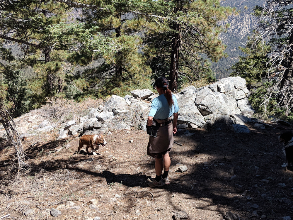
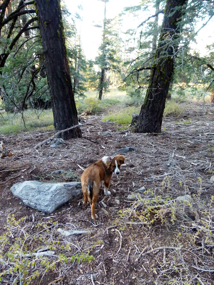
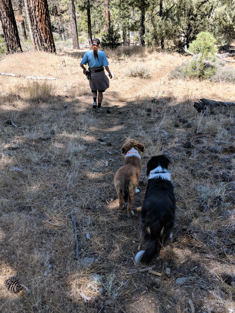
^ ^ ^ This was the first major hike for our 4-month old, female puppy, "Everest" (Evie for short).
^ ^ ^ The trail becomes less steep lower down.
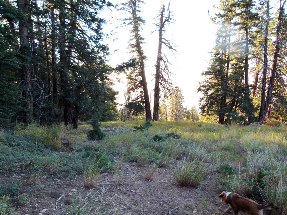
^ ^ ^ A view of the PMC Meadows.
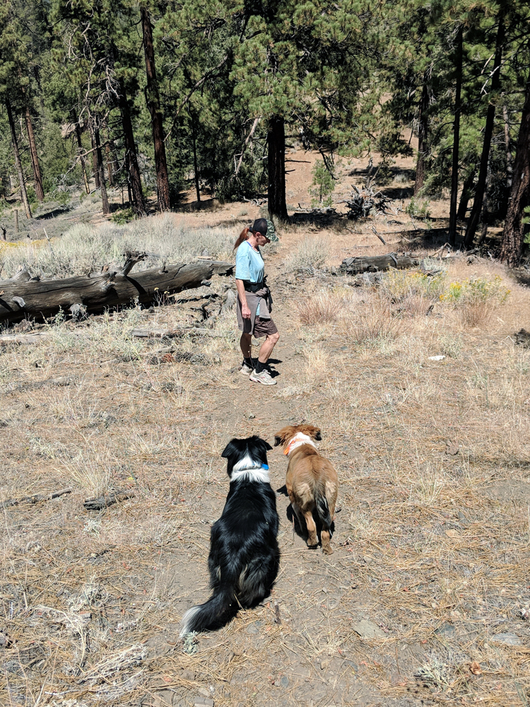
^ ^ ^ As you approach Camp Condor (in the valley in the background) there is a large open area with many fallen trees.
^ ^ ^ It becomes a relatively easy stroll for the middle section of the hike.
However, the route becomes steep again for the last quarter mile or so going down what I assume was an old fire road (as indicated on the map). There is little sign of a road now (grown over) but the trail is well defined and easy to follow.
The descent is about 2,000 feet over the length of the trail which is about about 2 miles. It is a pleasant hike with some great views. Definitely take your time on the steeper sections as it is easy to slip and slide if not taking care of where you place your feet. Even a thin bed of pine needles on hard ground can be surprisingly slippery. Likewise for loose dirt and rocks or a carpet of decaying oak leaves.
Hiking time for a leisurely descent is about 2 hours (plus breaks). We took two and a half hours with a lunch break in the middle which is probably a typical time for this hike.
You can start or finish the hike from a turnout on Mil Potrero Highway. See the route marked in blue on the topo map above. Or you can do this "blue" route as a separate, shorter hike. The trailhead is diagonally across Mil Potrero Hwy (slightly uphill) from a distinctive "fire restrictions" sign on the west (uphill) side of a turnout for off-road parking. The coordinates for the trailhead are 34.86008, -119.20231
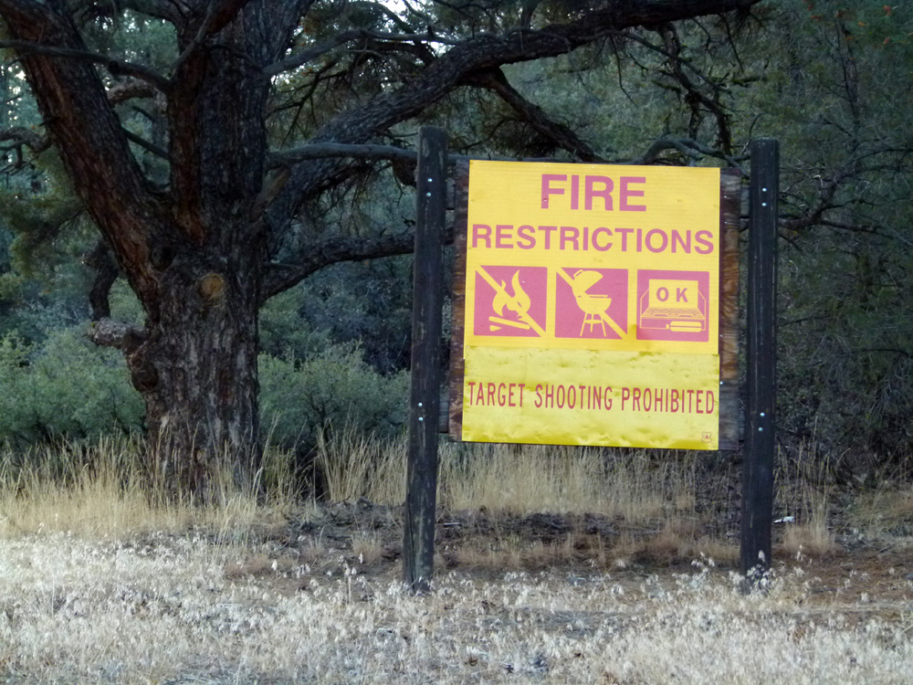
^ ^ ^ This distinctive sign is across the road opposite the trailhead. You can see the sign coming from PMC but not driving down the hill the other way towards PMC (although you can see the back of the sign).
You can park a car at the trailhead in a turnout on your left which is 0.4 miles below the road junction at Apache Saddle (ranger station), or coming from PMC it is 2.1 miles past the tennis courts on your right.
If you are fit it is possible to do this as a loop hike. Climb up the eastern spur and descend back down the western spur (which has some steeper sections). Going clockwise seems to be the better option.
![]()
Peter Gray
telephone: +1 (661) 242-1234