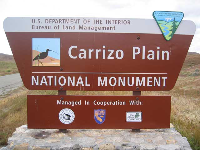
Carrizo Plain & Soda Lake
(March 5th, 2005)
The photographs on this page were provided by local hiking enthusiast, Drew. He paid a memorable visit to Carrizo Plain in March 2005 during the wildflower season.
Driving towards the south-east entrance to Carrizo Plain (and the sign pictured above). You turn off Hwy 33 / Hwy 166 about half way between Cuyama and Maricopa (sign posted).
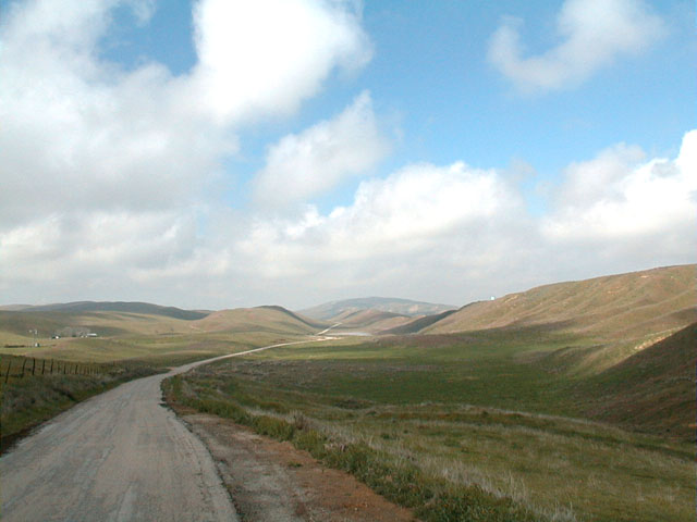
Looking back towards Hwy 33 / Hwy 166.
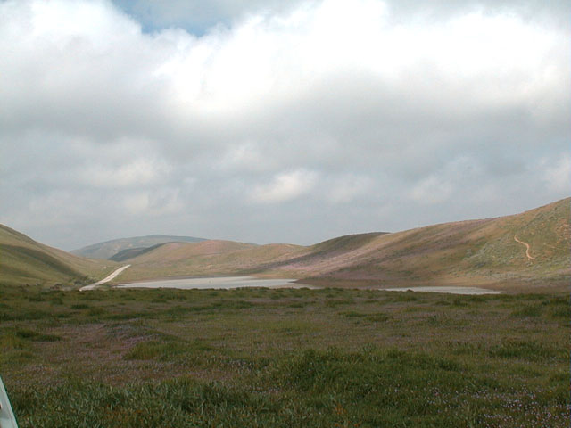
A Vernal Pool. This is a seasonal water hole or pond with a regular wet / dry cycle supporting a variety of plant and animal species adapted to this type of special environment.
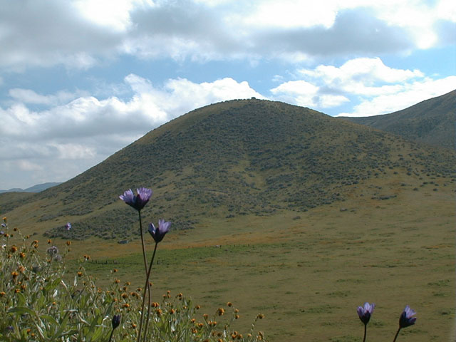
I understand most of the purple flowers on these hills are a non-native cattle feed called Erodium cicutarium, or Red Stemmed Fillaree.
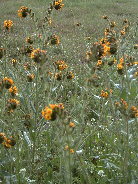
Wildflowers abound.....
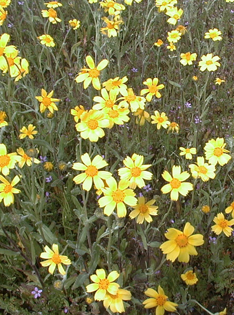
I believe these are Coreopsis bigelovii or Tickseed.
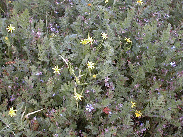
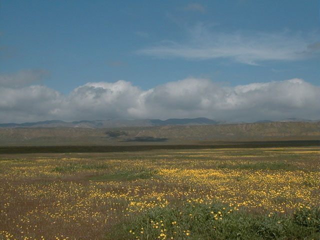
The Yellow flowers are Lasthenia species or Goldfields (at least 7 different species can be found on the Carrizo Plain). The purple flowers are Erodium cicutarium or Red Stemmed Fillaree (the cattle feed mentioned earlier).
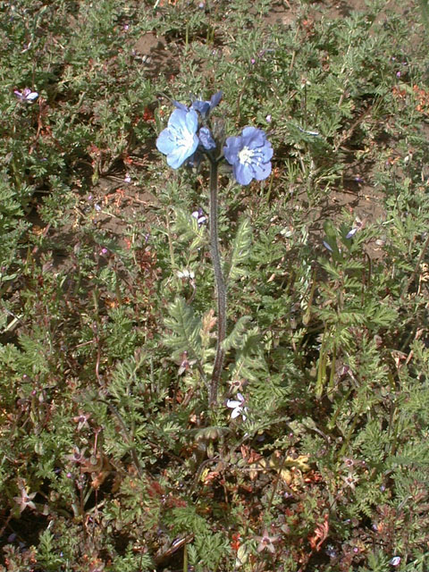
Phacelia ciliata or Great Valley Phacelia.
Closer shot of Phacelia ciliata or Great Valley Phacelia.
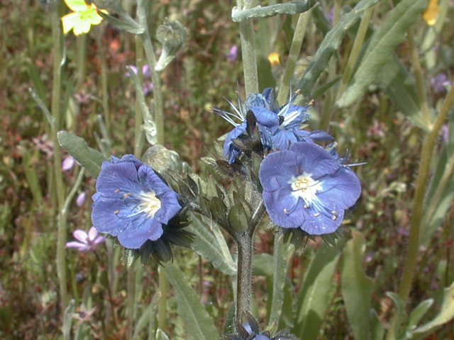
The orange flowers are Amsinckia menziesii var. menziesii or Menzies' Fiddleneck. The purple flowers are Phacelia tanacetifolia or Lacy Phacelia.
More Amsinckia menziesii var. menziesii or Menzies' Fiddleneck. Also known as Amzinkia. The cattle can't eat it, so it spreads quickly.
The view from the top of a volcanic cinder cone. It is difficult to appreciate the scale of things in an area like this.
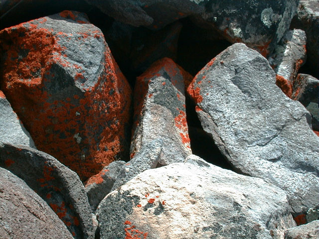
Lichen growing on rocks on top of the cinder cone.
Wild onions growing on the side of the cinder cone. They are commonly called Blue Dicks (Dichlostemma capitata).
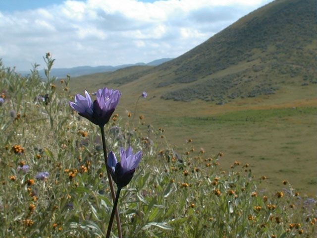
They actually smell like onions.
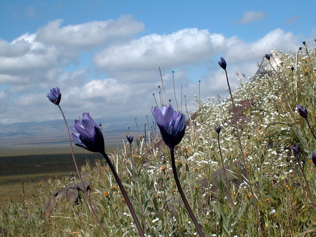
More Blue Dicks.
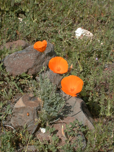
California Poppies, our official State Flower. Funnily enough, most store-bought poppy seeds are grown in Oregon these days. But these "genuine" local ones have a brighter orange color.
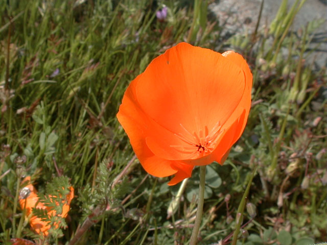
California Poppy seen closer up.
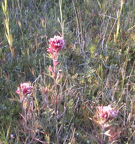
This is less common, Castilleja exserta or Owl's Clover.
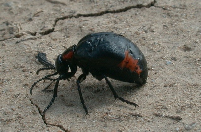
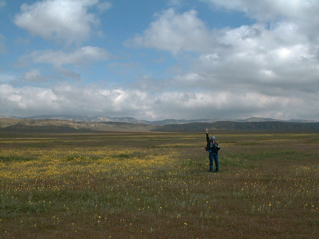
A passer by.
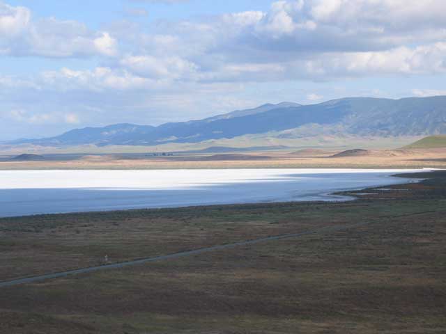
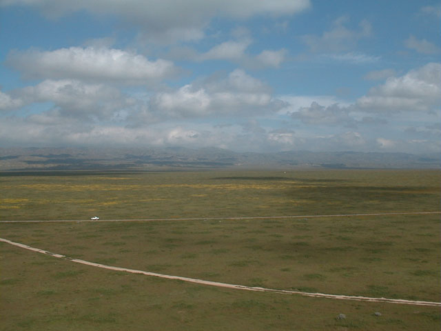
This photo of Soda Lake was taken from a lookout on a small hill near the lake. It is hard to take good photographs of Soda Lake at ground level as it is a white expanse of 'nothingness'. The highest mountains in the distant background are Cerro Noroeste and Mount Pinos (Iwihinmu).
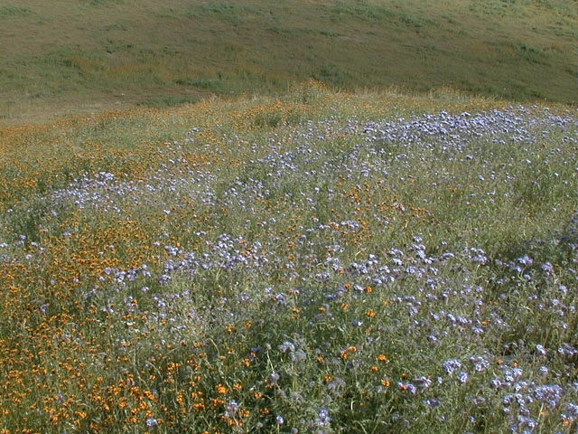
Carpets of Tickseed and Menzies' Fiddleneck cover the hills above McKittrick.
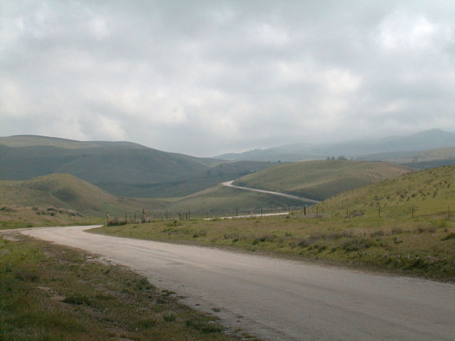
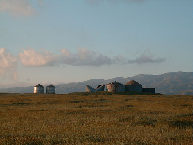
Yet another photo stop.
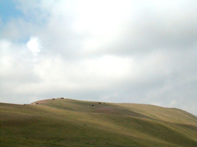
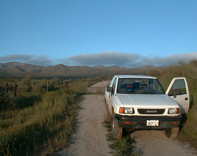
Some parts of Carrizo are (or were) rural.
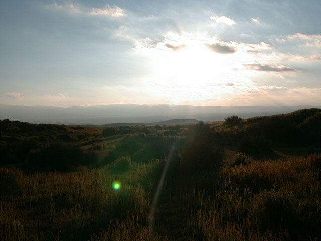
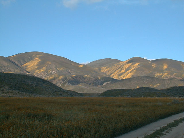
The sun is starting to set over the plain.
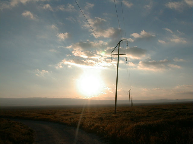
Time to get back to "civilization" after a very pleasant day of exploring and discovery.....
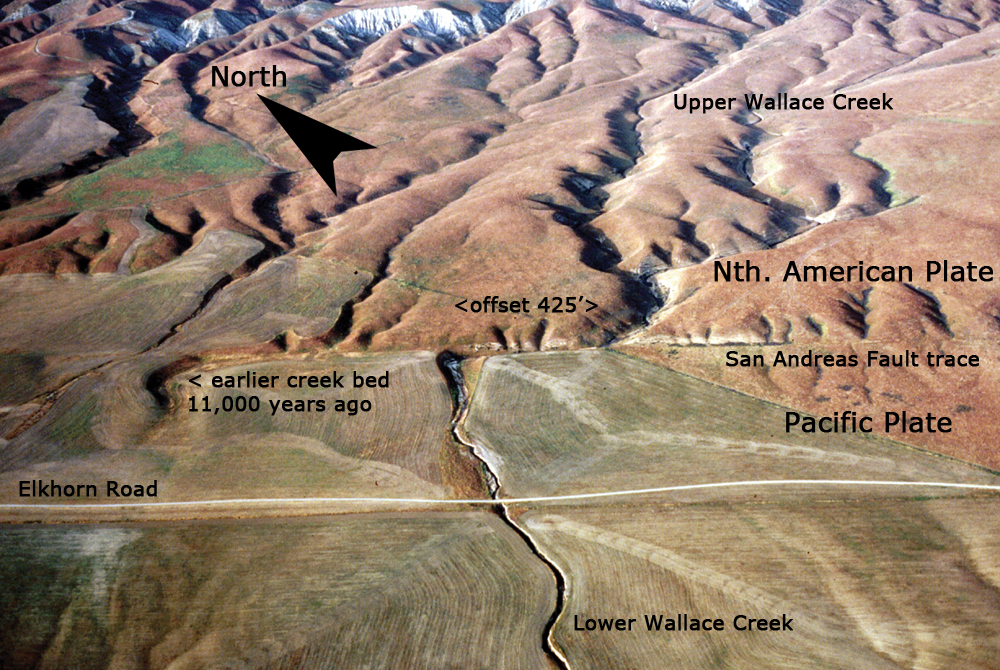
Aerial photo of displaced Wallace Creek in the Carrizo Plain National Monument.
Wallace Creek flows out of the Temblor Range on the North American Plate towards Soda Lake on the Pacific Plate. The creek can be seen flowing southwest in the upper right-hand quadrant in this photo. When the creek hits the San Andreas Fault, it is diverted northwest (left) along the fault trace. The Pacific Plate, in the foreground, has carried the creek bed with it as it moves northwest (left). The current offset of 425 feet started forming about 3,700 years ago. The most recent slippage caused by the 1857 earthquake added about 30 feet to this offset. Further to the left we see an earlier creek bed abandoned about 11,000 years ago due to the shifting of the plates.
![]()
Peter Gray
telephone: +1 (661) 242-1234