Grand Canyon Hikes
(January 16/17th and April 15/16/17th, 2004)
We made two hikes into the Grand Canyon in 2004. The first was in the winter, and was a relatively short hike of about 3 hours duration down the South Kaibab trail and back up again. This inspired us to plan a much longer 3-day hike to the bottom of the Grand Canyon in the early Spring. On the first day, we hiked down the South Kaibab trail to the Phantom Ranch, where we stayed overnight. The next day we hiked back up the Bright Angel trail and camped a second night at the Indian Garden campground. Then we climbed back to the South Rim on the third day to complete a truly memorable hike.
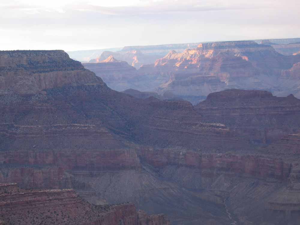
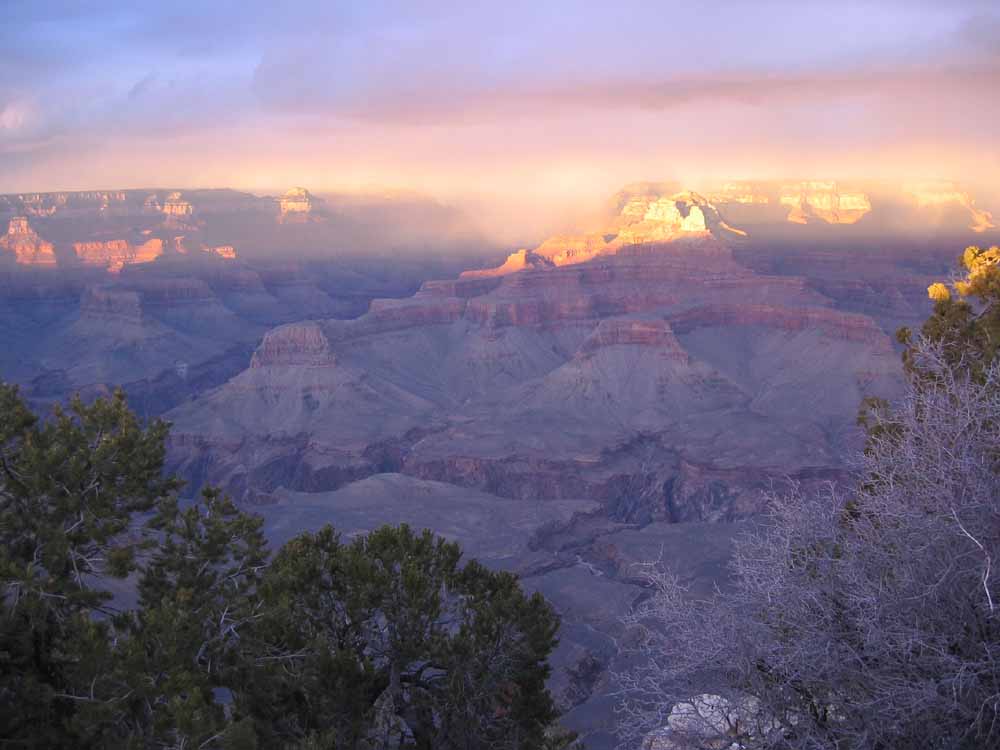
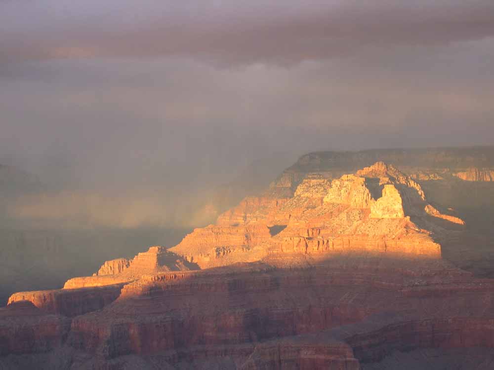
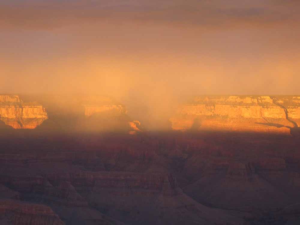
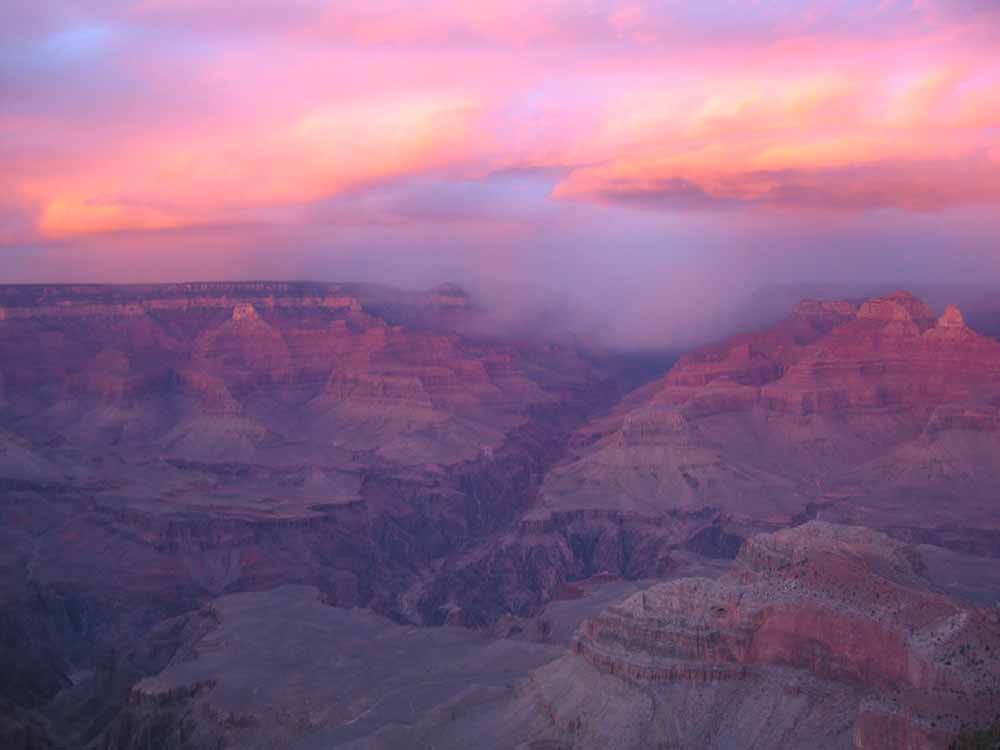
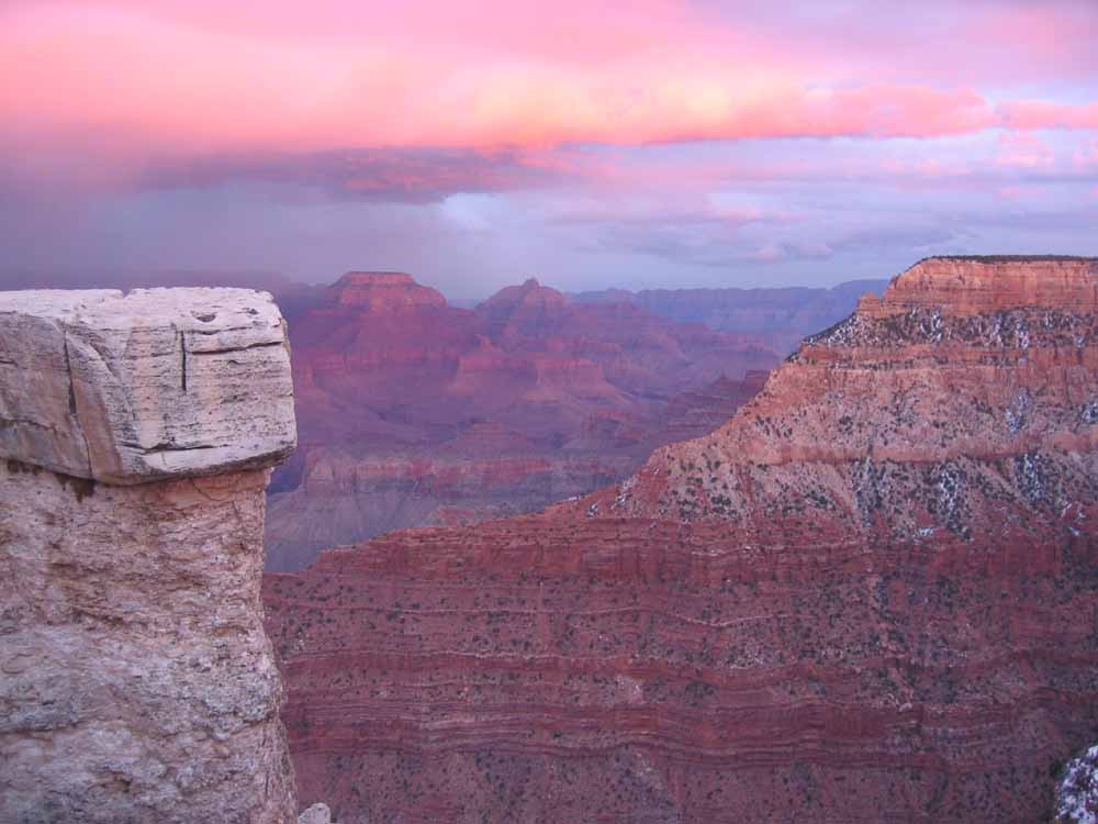
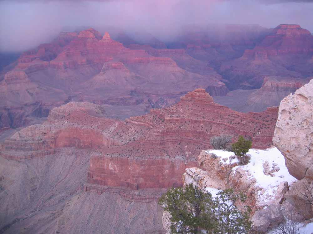
^ ^ ^ On January 16th, 2004, we arrived in time to experience a spectacular sunset in the Grand Canyon, as the following series of photographs show vividly.
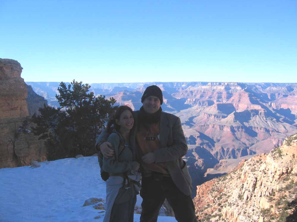
^ ^ ^ Near the South Kaibab trail head close to Yaki Point.
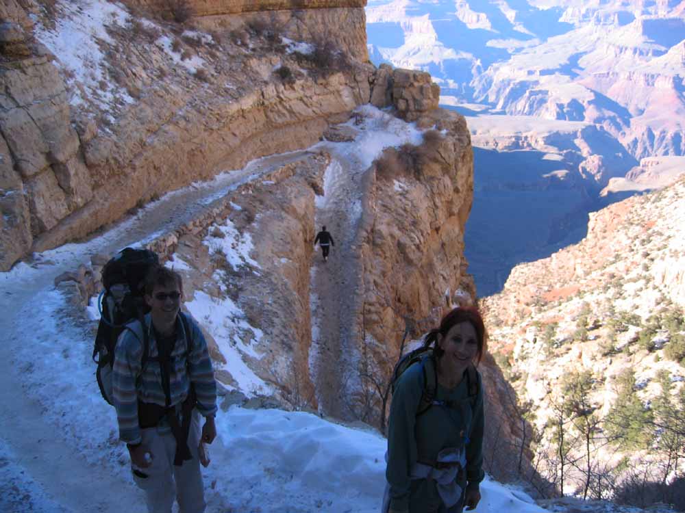
^ ^ ^ In the winter, the first half-mile of the Kaibab Trail is covered with snow and slippery ice. We were advised to use crampons strapped to the bottom of our shoes for this section of the trail. We met this young backpacker, Jacob, along the trail. He had been solo camping for several days down below when we met him.
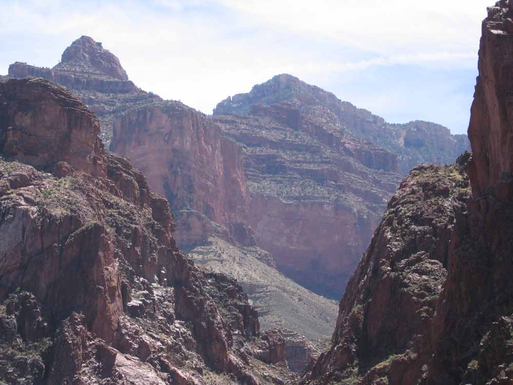
^ ^ ^ Descending towards Cedar Ridge.
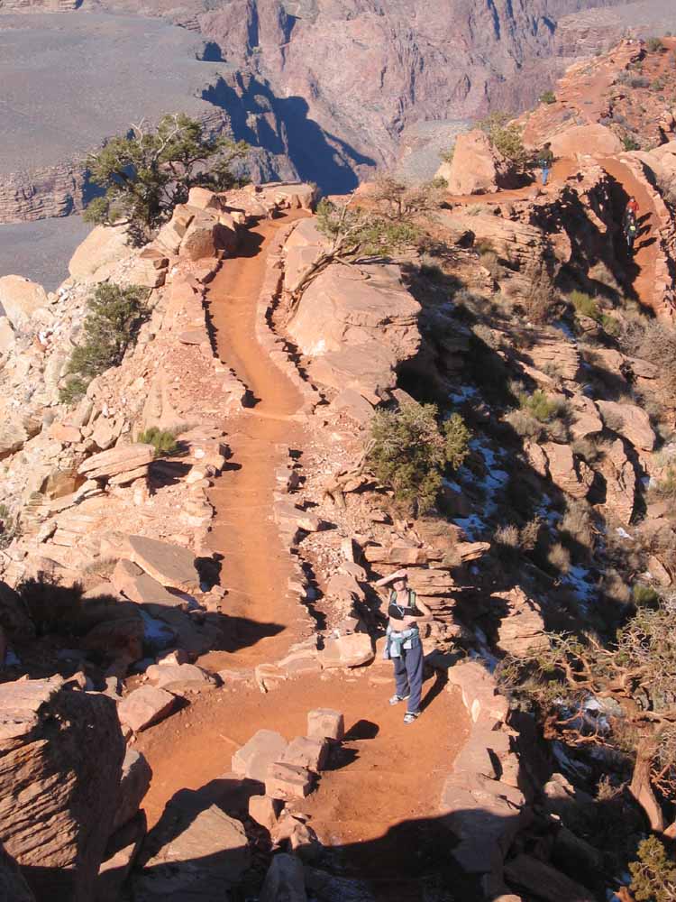
^ ^ ^ At Cedar Ridge, about 1.5 miles down from the trail head.
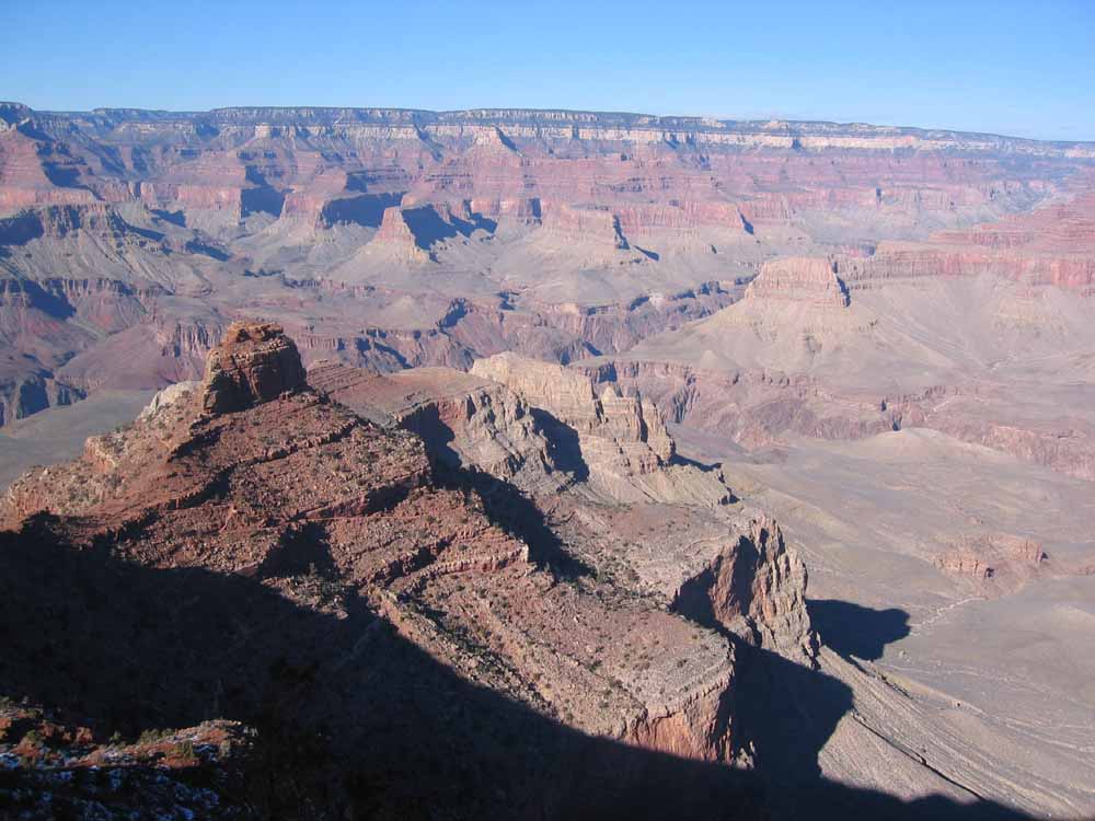
^ ^ ^ We hiked down one and a quarter hours to a point between Cedar Ridge and Skeleton Point (about 2.5 miles), before turning around and retracing our footsteps.
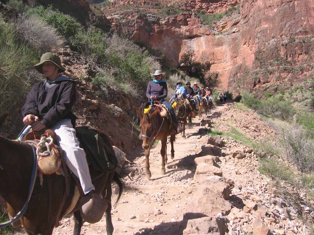
^ ^ ^ We returned in the Spring (mid-April) to do a much more ambitious 3-day hike. We met several mule trains going up and down the canyon.
^ ^ ^ On the first day, we hiked down the South Kaibab trail to the Phantom Ranch (about 7 miles). This is a rest spot along the way on the Tonto Plateau, near the Tonto Trail Junction, a little over 4.5 miles from the trail head.
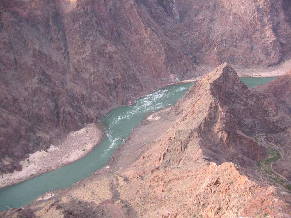
^ ^ ^ View of the Colorado River down below.
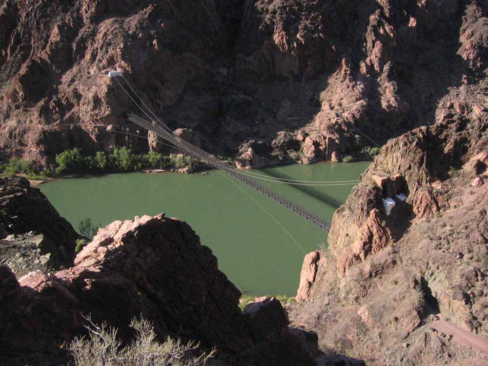
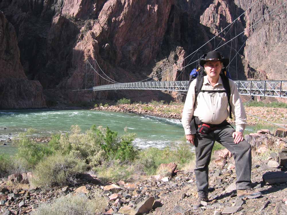
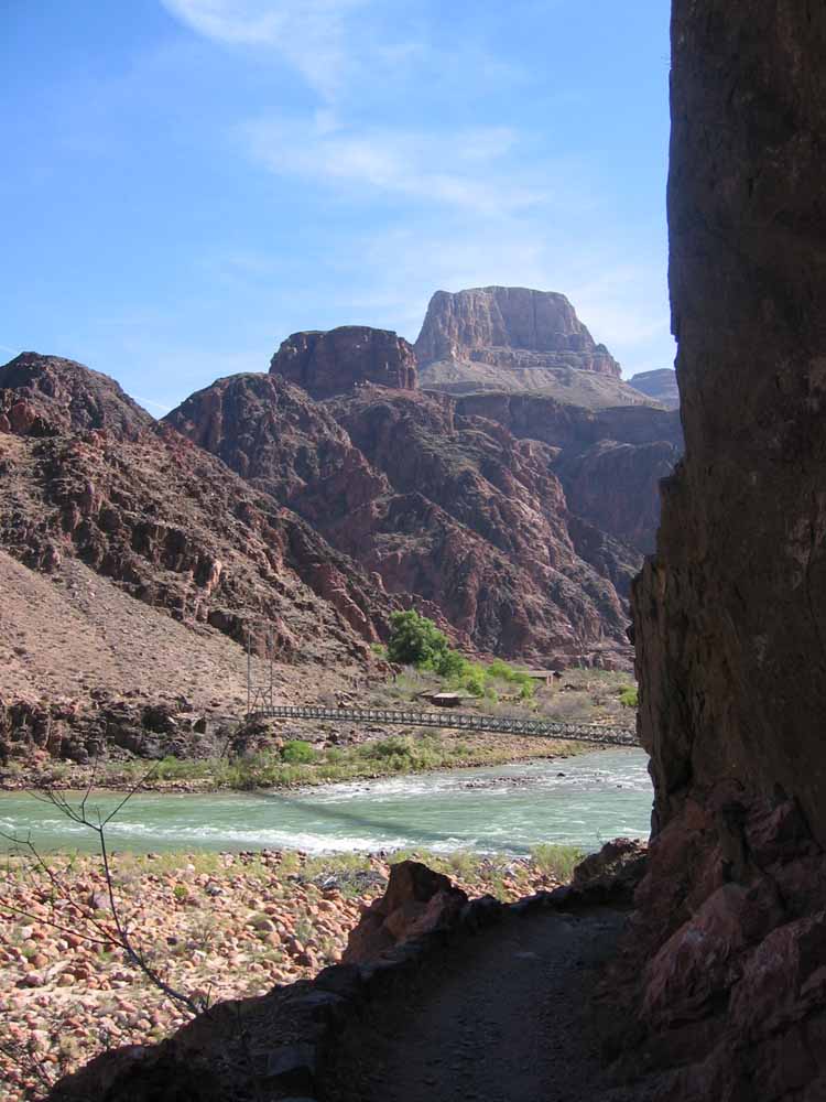
^ ^ ^ The Kaibab Suspension Bridge.
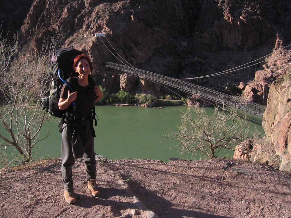
^ ^ ^ Getting closer to the Kaibab Suspension Bridge.
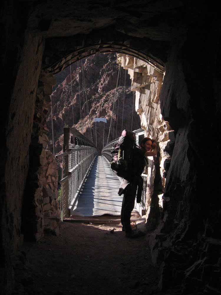
^ ^ ^ The rock-hewn, southern access tunnel to the Kaibab Suspension Bridge.
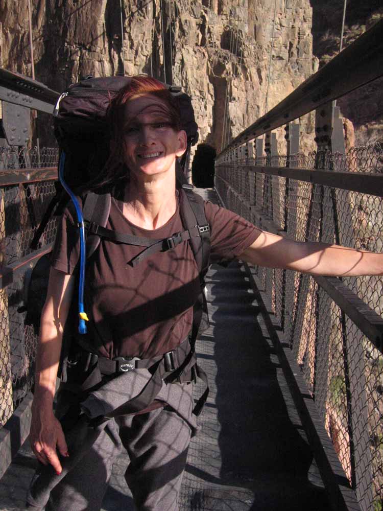
^ ^ ^ Crossing the Kaibab Suspension Bridge, about 6 miles after setting out from the trail head.
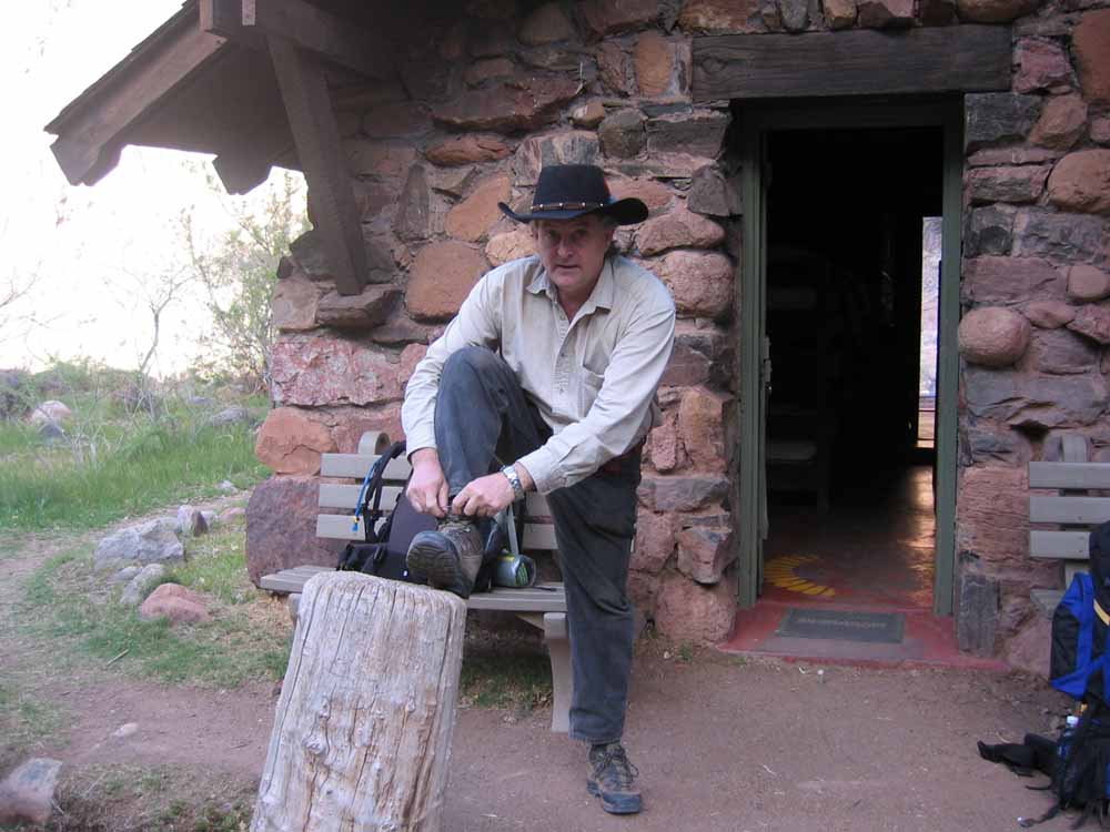
^ ^ ^ Getting ready for 'day-two' outside our dormitory at the Phantom Ranch.
^ ^ ^ The Bright Angel Suspension Bridge spanning the Colorado River.
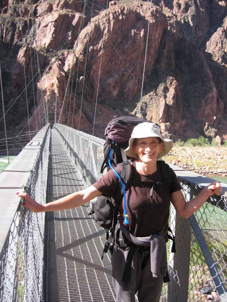
^ ^ ^ Crossing the Bright Angel Suspension Bridge.
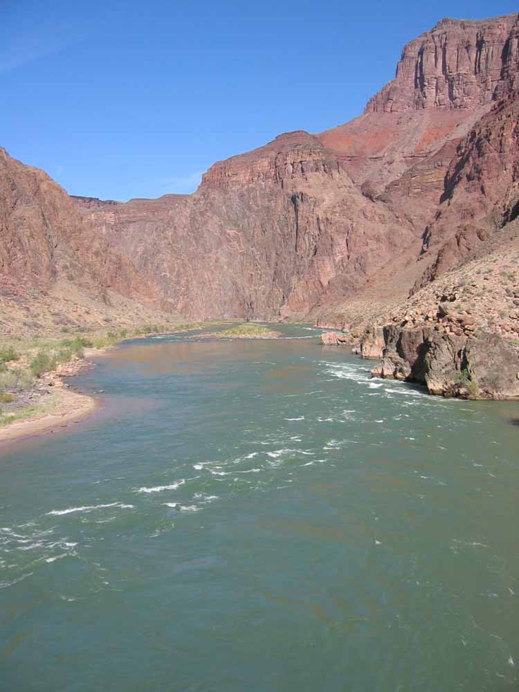
^ ^ ^ The Colorado River rushes by under the suspension bridge.
^ ^ ^ Looking back towards the Bright Angel Suspension Bridge from the River Trail.
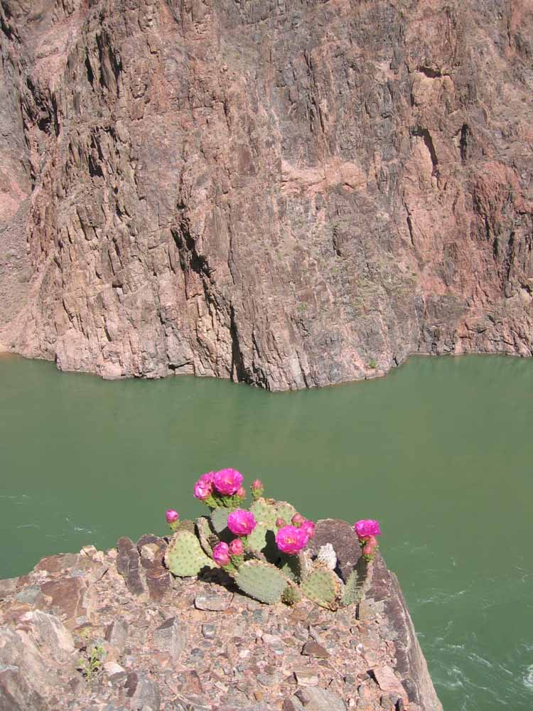
^ ^ ^ Views from the River Trail. The River Trail follows the Colorado River 1.7 miles (2.7 kilometers) between the Bright Angel and South Kaibab trails.
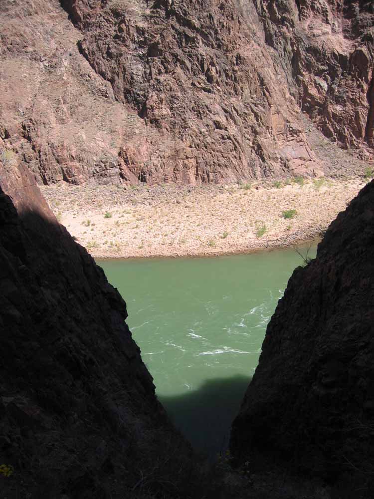
^ ^ ^ Views from the River Trail.
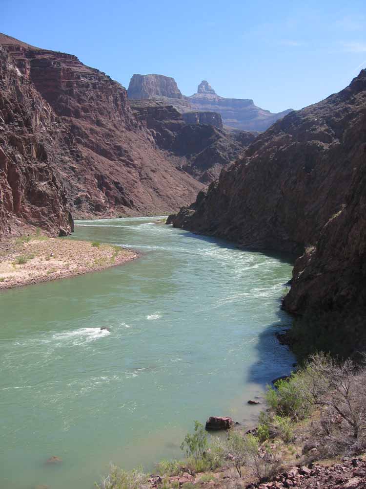
^ ^ ^ Views from the River Trail.
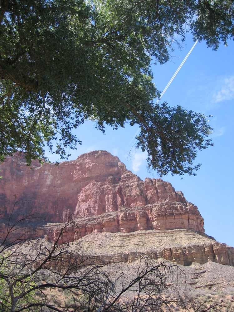
^ ^ ^ Wonderful views from near the bottom of the canyon.
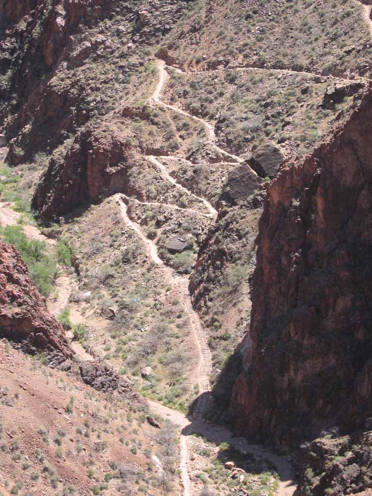
^ ^ ^ The Bright Angel Trail climbs back up the canyon.
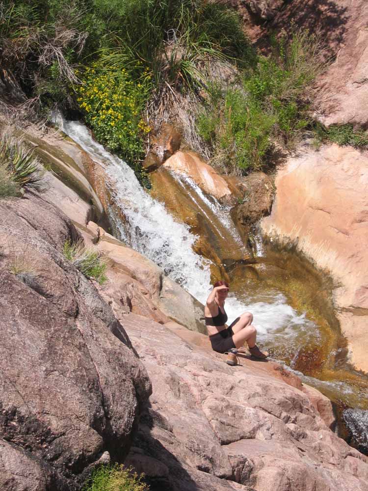
^ ^ ^ It was a pleasant surprise to find this waterfall along the way on a warm day.
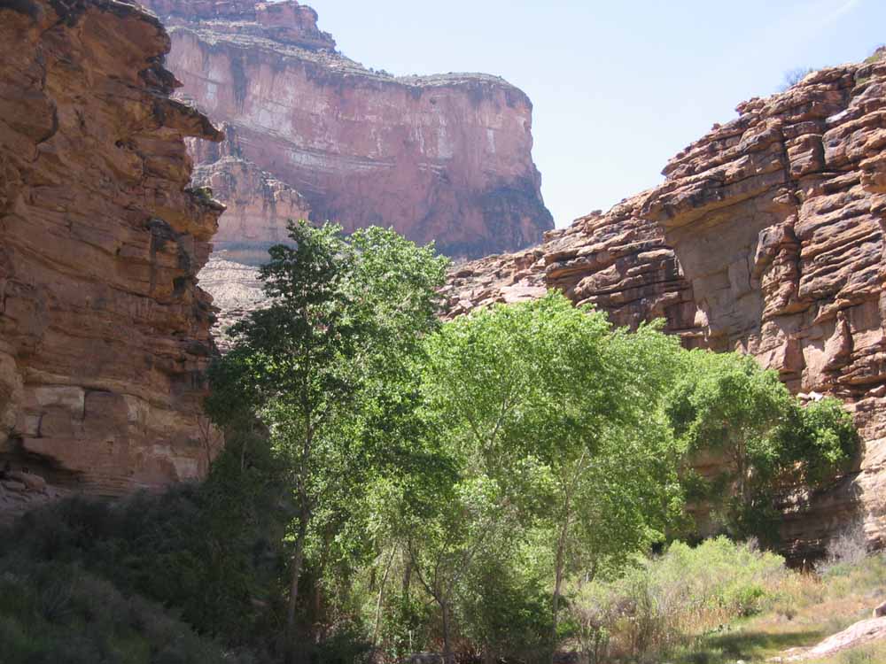
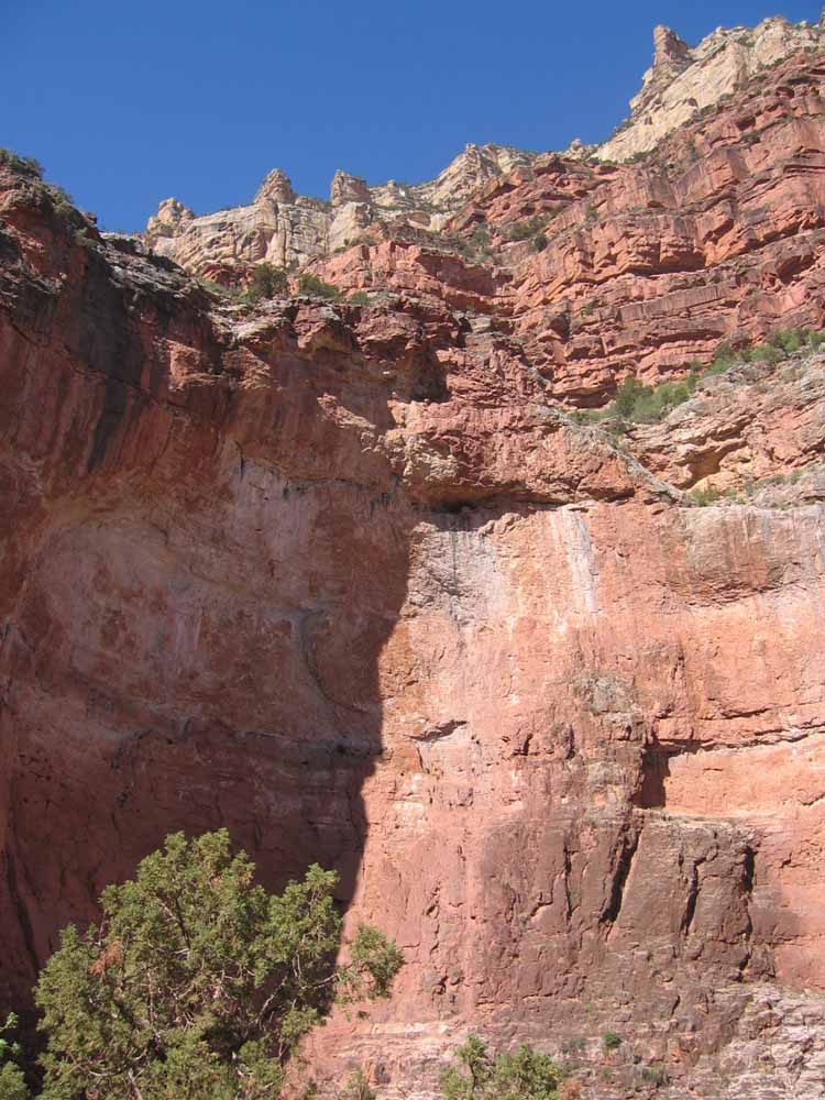
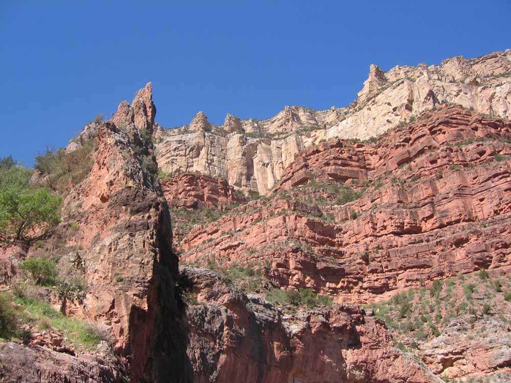
^ ^ ^ The vegetation becomes more lush in shady canyons with a supply of water.
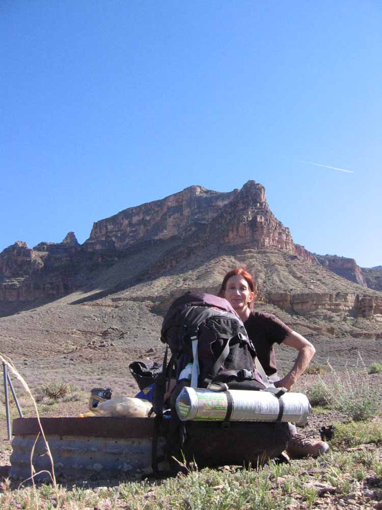
^ ^ ^ Approaching Indian Garden Campground, which is just over 5 miles from Phantom Ranch.
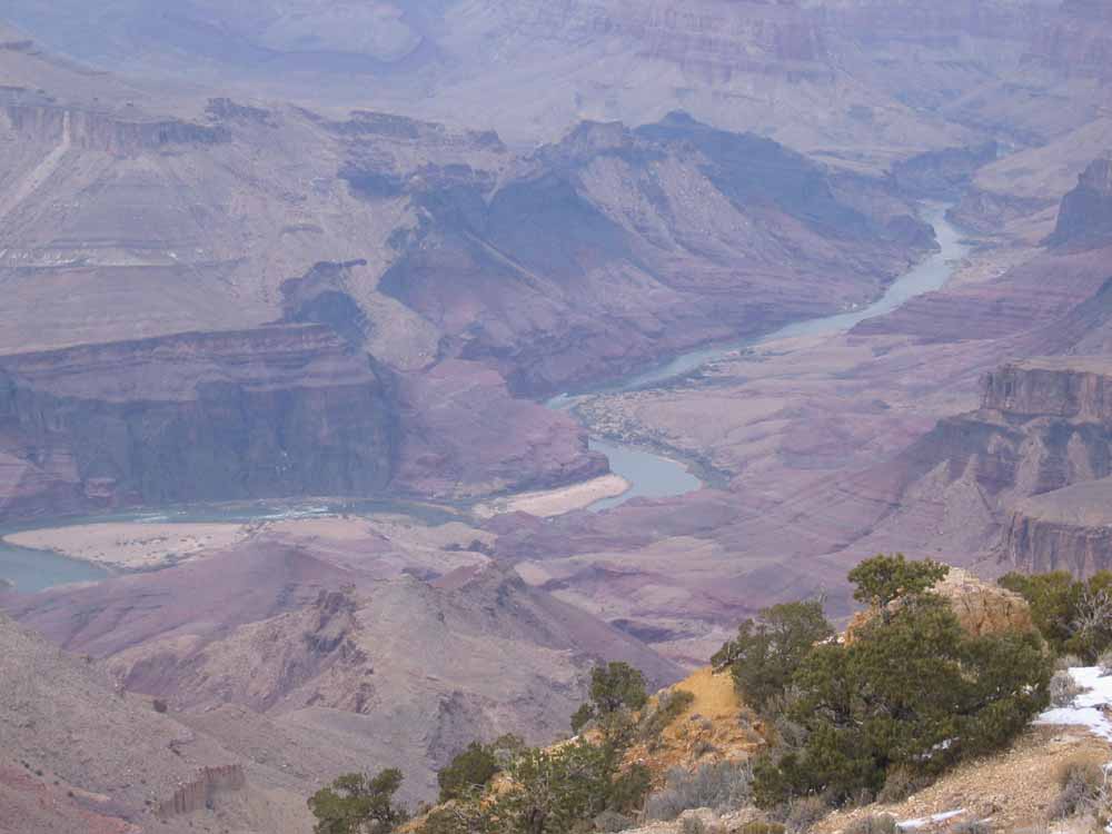
^ ^ ^ The spectacular view from Plateau Point (elevation 3781 feet). The Colorado River can be seen 1360 feet below. This was a side trip after setting up camp at Indian Gardens (elevation 3800 feet). Thankfully, the 1.5 mile trail from Indian Gardens to Plateau Point is nearly level from one end to the other. At Plateau Point, you can find yourself at eye level with giant condors soaring around this spectacular vantage point. I believe condors were released here from a breeding center at the Bitter Creek National Wildlife Refuge close to Pine Mountain Club in California.
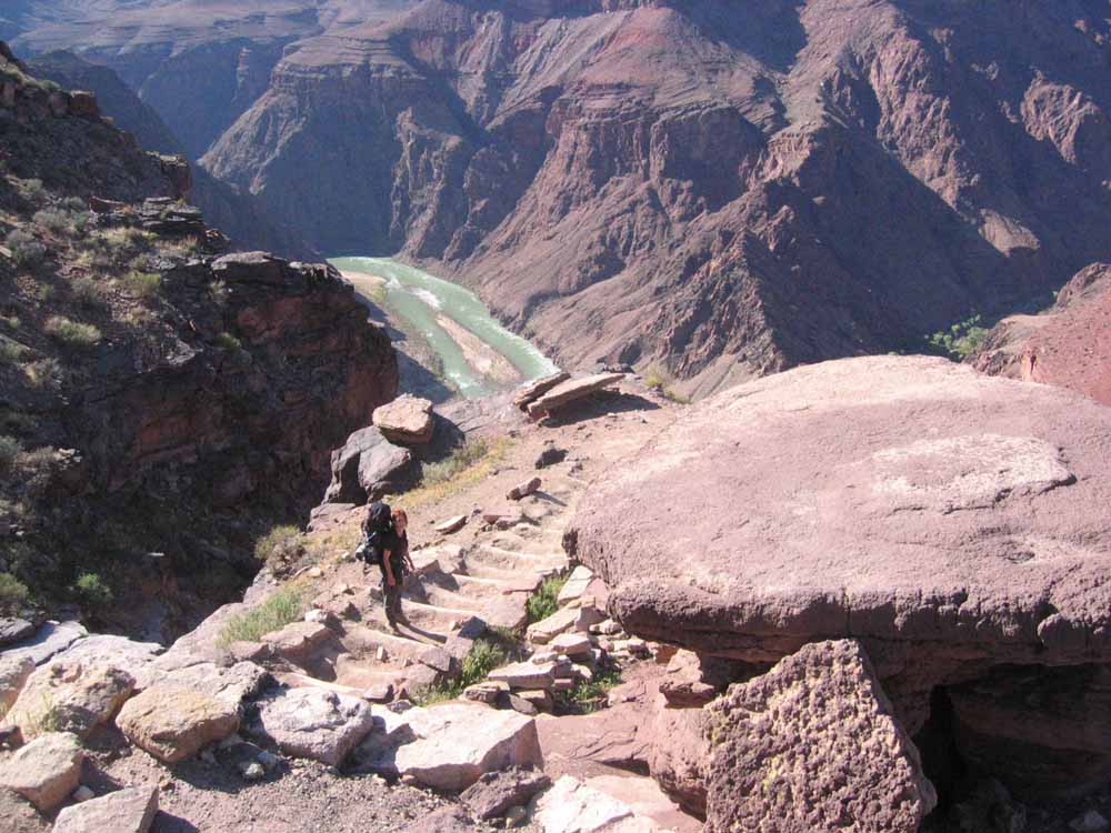
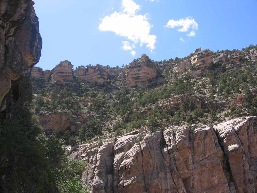
^ ^ ^ The final 4.6 mile ascent towards the South Rim.
^ ^ ^ Views as we approach the South Rim.
^ ^ ^ Approaching the South Rim, and the conclusion of this truely wonderful hike. We can't wait to return again to hike some more in the spectacular Grand Canyon.
![]()
Peter Gray
telephone: +1 (661) 242-1234